
| Distance / Altitude | Location | Report Date / Time | Live Weather | Wind | Gusts | Temp. | Visibility | Cloud |
|---|---|---|---|---|---|---|---|---|
| 20 km WSW / 3 m | BUOY-ACXS1 (Marine) | 2026-03-13 03:45 local (2026/03/13 07:45 GMT) | calm (2 km/h at 360) | 6°C | - | |||
| 27 km NE / 6 m | Charleston Executive Airport (South Carolina) (South Carolina) | 2026-03-13 04:35 local (2026/03/13 08:35 GMT) | Clear | light winds from the NE (15 km/h at 40) | 7°C | 16 | ||
| 35 km S / 3 m | BUOY-41033 (Marine) | 2026-03-13 04:08 local (2026/03/13 08:08 GMT) | strong winds from the ENE (40 km/h at 60) | 12°C | - | |||
| 35 km S / 3 m | BUOY-41067 (Marine) | 2026-03-13 04:00 local (2026/03/13 08:00 GMT) | - (- km/h at -) | — | - | |||
| 38 km NE / 3 m | BUOY-CHTS1 (Marine) | 2026-03-13 04:42 local (2026/03/13 08:42 GMT) | moderate winds from the NE (24 km/h at 40) | — | - | |||
| 42 km NNE / 216 m | Charleston Airport (South Carolina) | 2026-03-13 03:56 local (2026/03/13 07:56 GMT) | - | light winds from the NNE (9 km/h at 30) | 5°C | 16 | few | |
| 44 km ENE / 15 m | SHIP9168 (Marine) | 2026-03-13 04:00 local (2026/03/13 08:00 GMT) | - (- km/h at -) | — | - km | |||
| 44 km ENE / 3 m | SHIP2909 (Marine) | 2026-03-13 04:00 local (2026/03/13 08:00 GMT) | - (- km/h at -) | 10°C | - | |||
| 44 km ENE / 3 m | SHIP7581 (Marine) | 2026-03-13 04:00 local (2026/03/13 08:00 GMT) | - (- km/h at -) | 10°C | - | |||
| 44 km ENE / 15 m | SHIP3995 (Marine) | 2026-03-13 04:00 local (2026/03/13 08:00 GMT) | - (- km/h at -) | — | - km |
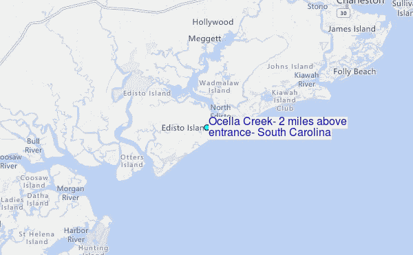
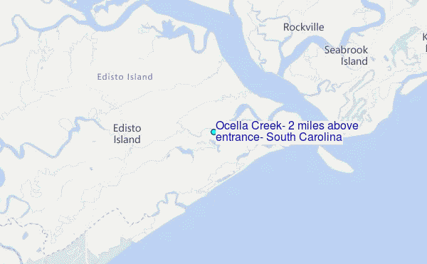
Choose Ocella Creek, 2 miles above entrance, South Carolina Location Map Zoom:
| Contours: | Roads & Rivers: | Select a
tide station / surf break / city |
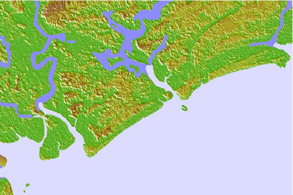

Use this relief map to navigate to tide stations, surf breaks and cities that are in the area of Ocella Creek, 2 miles above entrance, South Carolina.
Other Nearby Locations' tide tables and tide charts to Ocella Creek, 2 miles above entrance, South Carolina:
click location name for more details
 Surf breaks close to Ocella Creek, 2 miles above entrance, South Carolina:
|
||
|---|---|---|
| Closest surf break | Edisto Beach | 5 mi |
| Second closest surf break | Folly Beach Pier | 19 mi |
| Third closest surf break | Folly Beach | 19 mi |
| Fourth closest surf break | Hunting Island | 20 mi |
| Fifth closest surf break | The Washout | 21 mi |


 Nearest
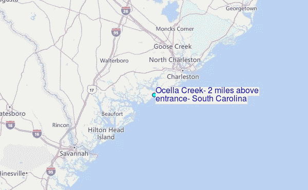