
| Distance / Altitude | Location | Report Date / Time | Live Weather | Wind | Gusts | Temp. | Visibility | Cloud |
|---|---|---|---|---|---|---|---|---|
| 19 km W / 15 m | SHIP7970 (Marine) | 2025-12-23 08:00 local (2025/12/22 23:00 GMT) | moderate winds from the SSE (21.6 km/h at 150) | 11°C | - km | |||
| 19 km W / 3 m | BUOY-22108 South Korea (Marine) | 2025-12-23 09:00 local (2025/12/23 00:00 GMT) | moderate winds from the SE (25 km/h at 140) | 8°C | - | |||
| 63 km ESE / 124 m | Kunsan Air Base Airport (Korea) | 2025-12-23 08:55 local (2025/12/22 23:55 GMT) | Dry and partly cloudy | light winds from the E (9 km/h at 80) | 3°C | 11 | broken | |
| 117 km ENE / 22 m | Gongju Rws Airport (South Korea) | 2025-12-23 09:40 local (2025/12/23 00:40 GMT) | Dry and partly cloudy | calm (2 km/h at 90) | 0°C | 10.0 | broken | |
| 120 km N / 3 m | West of Deokjeokdo Island- South Korea (Marine) | 2025-12-23 09:00 local (2025/12/23 00:00 GMT) | fresh winds from the SE (29 km/h at 130) | 7°C | - | |||
| 19 km W / 3 m | BUOY-22108 South Korea (Marine) | 2025-12-23 09:00 local (2025/12/23 00:00 GMT) | moderate winds from the SE (25 km/h at 140) | 8°C | - | |||
| 19 km W / 15 m | SHIP2353 (Marine) | 2025-12-23 09:00 local (2025/12/23 00:00 GMT) | moderate winds from the SE (25.2 km/h at 140) | 11°C | - km | |||
| 57 km ESE / 15 m | SHIP2733 (Marine) | 2025-12-23 09:00 local (2025/12/23 00:00 GMT) | moderate winds from the E (22.32 km/h at 80) | — | - km | |||
| 57 km ESE / 15 m | SHIP7262 (Marine) | 2025-12-23 09:00 local (2025/12/23 00:00 GMT) | moderate winds from the E (22.32 km/h at 80) | — | - km | |||
| 63 km ESE / 124 m | Kunsan Air Base Airport (Korea) | 2025-12-23 08:55 local (2025/12/22 23:55 GMT) | Dry and partly cloudy | light winds from the E (9 km/h at 80) | 3°C | 11 | broken |
| Contours: | Roads & Rivers: | Select a
tide station / surf break / city |
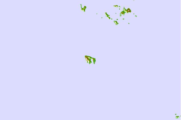
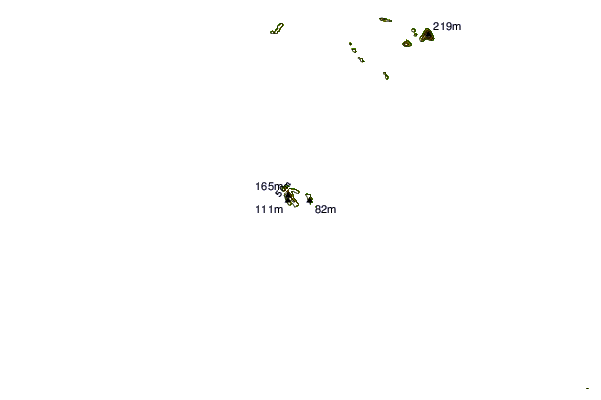
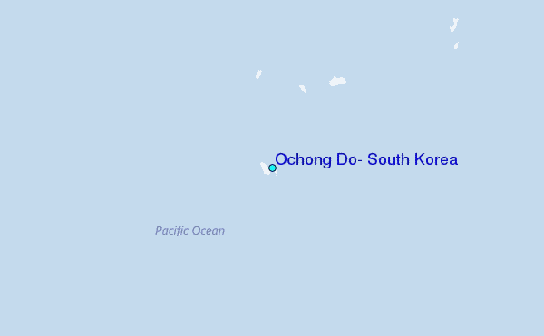
Use this relief map to navigate to tide stations, surf breaks and cities that are in the area of Ochong Do, South Korea.
Other Nearby Locations' tide tables and tide charts to Ochong Do, South Korea:
click location name for more details
 Surf breaks close to Ochong Do, South Korea:
|
||
|---|---|---|
| Closest surf break | Busan (Haeundae Beach) | 190 mi |
| Second closest surf break | Jumunjin | 199 mi |
| Third closest surf break | Gyongpo Beach | 200 mi |
| Fourth closest surf break | Ingu Beach | 200 mi |
| Fifth closest surf break | Jungmun Beach (Jeju Island) | 200 mi |


 Nearest
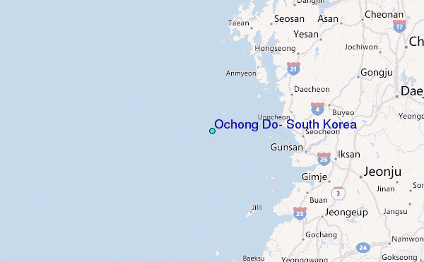