
| Distance / Altitude | Location | Report Date / Time | Live Weather | Wind | Gusts | Temp. | Visibility | Cloud |
|---|---|---|---|---|---|---|---|---|
| 11 km NE / 217 m | Marthas Vineyard Airport (Massachusetts) | 2026-04-15 13:53 local (2026/04/15 17:53 GMT) | Clear | light winds from the SSW (15 km/h at 200) | 22°C | 16 | ||
| 21 km N / 3 m | BUOY-BZBM3 (Marine) | 2026-04-15 14:48 local (2026/04/15 18:48 GMT) | - (- km/h at -) | — | - | |||
| 22 km N / 3 m | Woods Hole (Massachusetts) | 2026-04-15 14:36 local (2026/04/15 18:36 GMT) | dry | light winds from the SW (11 km/h at 220) | 17°C | - | - - 0 | |
| 26 km NNE / 6 m | Falmouth wx (United States) | 2026-04-15 14:25 local (2026/04/15 18:25 GMT) | dry | calm (0 km/h at 261) | 19°C | - | - - 0 | |
| 27 km W / 3 m | BUOY-BUZM3 (Marine) | 2026-04-15 15:00 local (2026/04/15 19:00 GMT) | fresh winds from the SSW (37 km/h at 210) | — | - | |||
| 27 km W / 3 m | BUOY-44085 (Marine) | 2026-04-15 14:30 local (2026/04/15 18:30 GMT) | - (- km/h at -) | 11°C | - | |||
| 31 km NW / 23.8 m | West Island (Massachusetts) | 2026-04-15 14:33 local (2026/04/15 18:33 GMT) | dry | wind obs. (8 kph from 124 degs) was rejected (- km/h at -) | 16°C | - | - - 0 | |
| 32 km NNE / 3 m | BUOY-WAXM3 (Marine) | 2026-04-15 13:45 local (2026/04/15 17:45 GMT) | calm (5 km/h at 170) | 23°C | - | |||
| 34 km NE / 30 m | Mashpee (Massachusetts) | 2026-04-15 15:18 local (2026/04/15 19:18 GMT) | dry | light winds from the ESE (10 km/h at 119) | 13°C | - | - - 0 | |
| 36 km NW / 3 m | BUOY-NBGM3 (Marine) | 2026-04-15 14:48 local (2026/04/15 18:48 GMT) | moderate winds from the S (22 km/h at 190) | — | - |
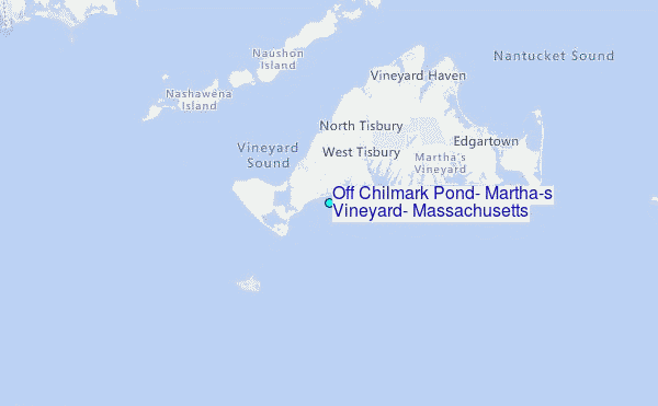
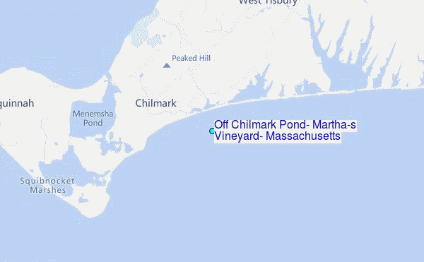
Choose Off Chilmark Pond, Martha's Vineyard, Massachusetts Location Map Zoom:
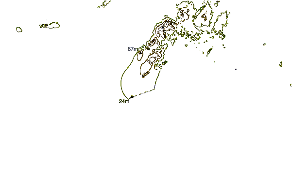
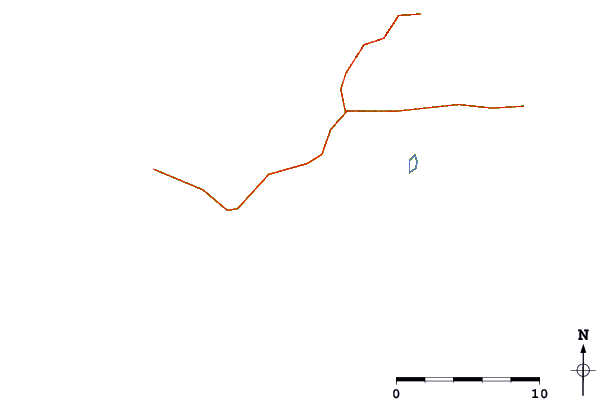
| Contours: | Roads & Rivers: | Select a
tide station / surf break / city |
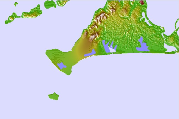
Use this relief map to navigate to tide stations, surf breaks and cities that are in the area of Off Chilmark Pond, Martha's Vineyard, Massachusetts.
Other Nearby Locations' tide tables and tide charts to Off Chilmark Pond, Martha's Vineyard, Massachusetts:
click location name for more details
 Surf breaks close to Off Chilmark Pond, Martha's Vineyard, Massachusetts:
|
||
|---|---|---|
| Closest surf break | Horseneck Beach | 21 mi |
| Second closest surf break | Baker s Beach | 22 mi |
| Third closest surf break | Goosewing Beach | 23 mi |
| Fourth closest surf break | Cutty Wow Reef | 24 mi |
| Fifth closest surf break | Madaket | 26 mi |


 Nearest
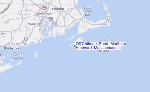