
| Distance / Altitude | Location | Report Date / Time | Live Weather | Wind | Gusts | Temp. | Visibility | Cloud |
|---|---|---|---|---|---|---|---|---|
| 13 km WNW / 306 m | Port Harcourt Airport (Nigeria) | 2025-12-25 08:00 local (2025/12/25 07:00 GMT) | Dry and partly cloudy | calm (0 km/h at 0) | 25°C | 7.0 | broken mostly cloudy - | |
| 78 km N / 114 m | Sam Mbakwe International Cargo Airport (Nigeria) | 2025-12-25 08:00 local (2025/12/25 07:00 GMT) | Dry and partly cloudy | calm (0 km/h at 0) | 26°C | 7.0 | broken | |
| 141 km E / 122 m | Calabar Airport (Nigeria) | 2025-12-25 09:00 local (2025/12/25 08:00 GMT) | Dry and partly cloudy | calm (0 km/h at 0) | 26°C | 6.0 | broken | |
| 142 km E / 67 m | Calabar (Nigeria) | 2025-12-25 07:00 local (2025/12/25 06:00 GMT) | Mist | wind obs. (6 kph from 50 degs) was rejected (- km/h at -) | 22°C | 5.0 km | mostly cloudy | |
| 197 km NNE / 134 m | Enugu (Nigeria) | 2025-12-25 08:00 local (2025/12/25 07:00 GMT) | - | calm (4 km/h at 140) | 26°C | 8.0 | few mostly cloudy - | |
| 217 km ESE / 611 m | Malabo/Fernando Poo Airport (Equatorial Guinea) | 2025-12-25 09:00 local (2025/12/25 08:00 GMT) | state of sky unchanged | light winds from the SW (11 km/h at 220) | 30°C | 10 | few few - | |
| 303 km ESE / 209 m | Douala Airport (Cameroon) | 2025-12-25 08:00 local (2025/12/25 07:00 GMT) | Mist - | calm (0 km/h at 0) | 28°C | 1.8 | scattered few | |
| 303 km ESE / 209 m | Douala Airport (Cameroon) | 2025-12-25 08:00 local (2025/12/25 07:00 GMT) | Mist - | calm (0 km/h at 0) | 28°C | 1.8 | scattered few | |
| 341 km WNW / 336 m | Akure Airport (Nigeria) | 2025-12-25 08:00 local (2025/12/25 07:00 GMT) | Dry and partly cloudy | light winds from the WSW (9 km/h at 250) | 25°C | 7.0 | scattered | |
| 344 km WNW / 375 m | Akure (Nigeria) | 2025-12-25 07:00 local (2025/12/25 06:00 GMT) | Haze | calm (0 km/h at 0) | 25°C | 26 km | mostly cloudy |
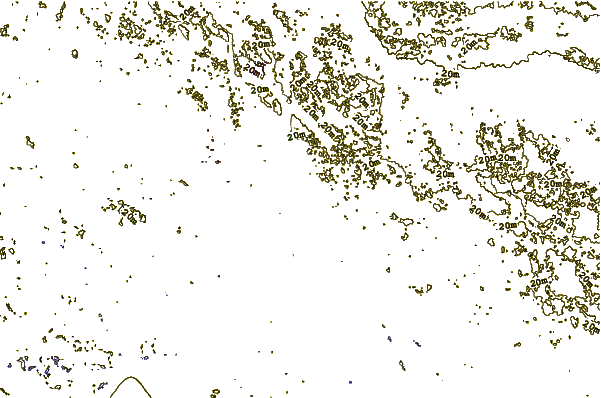
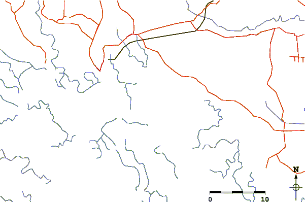
| Contours: | Roads & Rivers: | Select a
tide station / surf break / city |
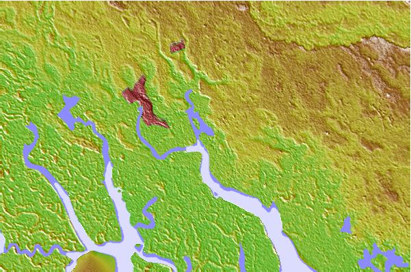
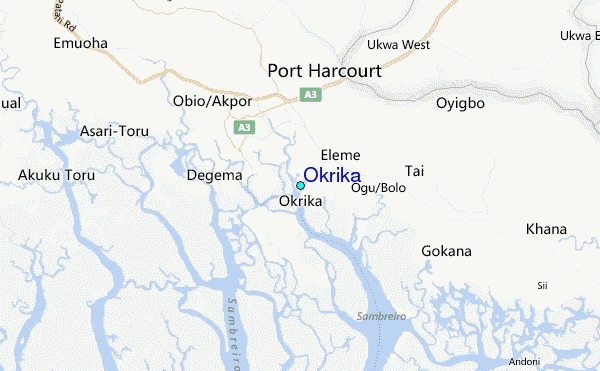
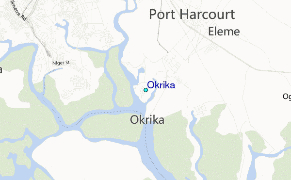
Use this relief map to navigate to tide stations, surf breaks and cities that are in the area of Okrika.
Other Nearby Locations' tide tables and tide charts to Okrika:
click location name for more details
 Surf breaks close to Okrika:
|
||
|---|---|---|
| Closest surf break | Seme Beach Limbe | 150 mi |
| Second closest surf break | Kribi | 231 mi |
| Third closest surf break | Lighthouse Beach | 278 mi |
| Fourth closest surf break | Tarqua Bay | 278 mi |
| Fifth closest surf break | Shipwreck | 295 mi |


 Nearest
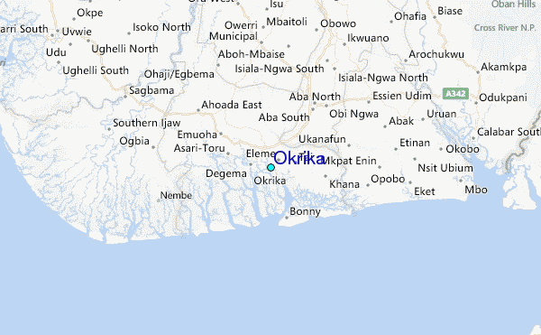