
| Distance / Altitude | Location | Report Date / Time | Live Weather | Wind | Gusts | Temp. | Visibility | Cloud |
|---|---|---|---|---|---|---|---|---|
| 218 km NE / 1587 m | Goroka Highlands Airport (Papua-New Guinea) | 2026-05-25 04:00 local (2026/05/24 18:00 GMT) | visibility reduced by smoke | - (- km/h at -) | 22°C | 30 | - | |
| 307 km S / 4 m | Coconut Island (Australia) | 2026-05-25 04:00 local (2026/05/24 18:00 GMT) | no report | - (- km/h at -) | 26°C | - | - | |
| 318 km ENE / 70 m | Nadzab (Papua New Guinea) | 2026-05-25 04:00 local (2026/05/24 18:00 GMT) | rain | - (- km/h at -) | 25°C | 30 | - - - | |
| 394 km S / 15 m | SHIP2687 (Marine) | 2026-05-25 04:00 local (2026/05/24 18:00 GMT) | moderate winds from the ESE (25.2 km/h at 120) | 27°C | - km | |||
| 395 km S / 13 m | Horn Island Airport (Australia) | 2026-05-25 03:30 local (2026/05/24 17:30 GMT) | Dry and partly cloudy | light winds from the SE (9 km/h at 130) | 25°C | 10.0 | no cloud | |
| 394 km S / 5 m | Horn Island Automatic Weather Station (Australia) | 2026-05-25 04:00 local (2026/05/24 18:00 GMT) | no report | light winds from the SE (9 km/h at 140) | 25°C | - | - no observation - | |
| 396 km S / 15 m | SHIP6334 (Marine) | 2026-05-25 03:00 local (2026/05/24 17:00 GMT) | moderate winds from the SE (25.2 km/h at 130) | 27°C | - km | |||
| 396 km S / 15 m | SHIP3000 (Marine) | 2026-05-25 03:00 local (2026/05/24 17:00 GMT) | moderate winds from the SE (25.2 km/h at 130) | 27°C | - km | |||
| 396 km S / 15 m | SHIP3210 (Marine) | 2026-05-25 03:00 local (2026/05/24 17:00 GMT) | moderate winds from the SE (25.2 km/h at 130) | 27°C | - km | |||
| 400 km S / 15 m | SHIP7078 (Marine) | 2026-05-25 02:00 local (2026/05/24 16:00 GMT) | - (- km/h at -) | 27°C | - km |
| Contours: | Roads & Rivers: | Select a
tide station / surf break / city |
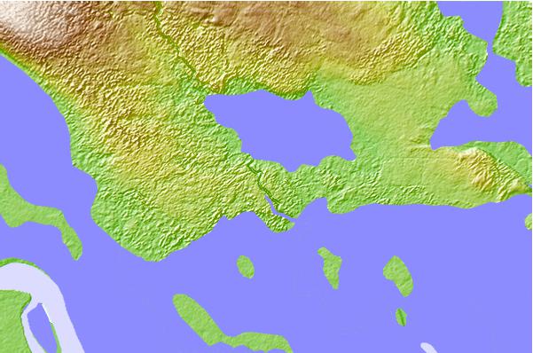
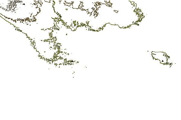
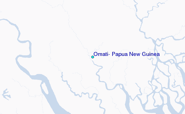
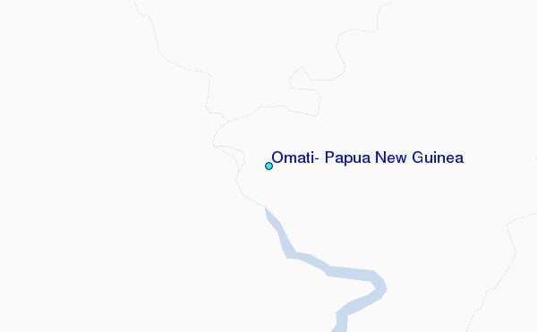
Use this relief map to navigate to tide stations, surf breaks and cities that are in the area of Omati, Papua New Guinea.
Other Nearby Locations' tide tables and tide charts to Omati, Papua New Guinea:
click location name for more details
 Surf breaks close to Omati, Papua New Guinea:
|
||
|---|---|---|
| Closest surf break | Tupira Right | 229 mi |
| Second closest surf break | Forok Point | 264 mi |
| Third closest surf break | The Wharf (Mission Point) | 268 mi |
| Fourth closest surf break | Moem Point | 269 mi |
| Fifth closest surf break | Wewak Point | 270 mi |


 Nearest
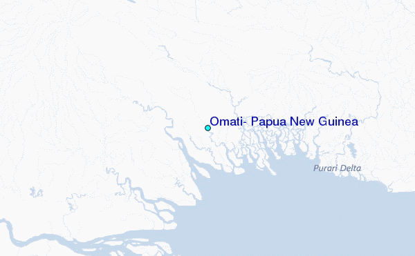