
| Distance / Altitude | Location | Report Date / Time | Live Weather | Wind | Gusts | Temp. | Visibility | Cloud |
|---|---|---|---|---|---|---|---|---|
| 9 km S / 217 m | Melfa/Accomack County Airport (Virginia) | 2026-07-22 17:35 local (2026/07/22 21:35 GMT) | Dry and partly cloudy | light winds from the SW (15 km/h at 220) | 26°C | 16 | scattered scattered | |
| 13 km SSE / 3 m | BUOY-WAHV2 (Marine) | 2026-07-22 17:48 local (2026/07/22 21:48 GMT) | light winds from the WSW (9 km/h at 250) | 28°C | - | |||
| 29 km SSW / 3 m | BUOY-RPLV2 (Marine) | 2026-07-22 17:48 local (2026/07/22 21:48 GMT) | fresh winds from the SSW (30 km/h at 210) | — | - | |||
| 35 km NE / 217 m | Wallops Island Airport (Virginia) | 2026-07-22 16:54 local (2026/07/22 20:54 GMT) | Haze - | light winds from the SW (19 km/h at 230) | 29°C | 10 | ||
| 43 km SW / 0 m | lightning 20km ESE of Kilmarnock (United States) | 2026-07-22 15:36 local (2026/07/22 19:36 GMT) | Thunderstorm | (- km/h at -) | — | |||
| 47 km SW / 3 m | Stingray Point Buoy (Marine) | 2026-07-22 17:54 local (2026/07/22 21:54 GMT) | moderate winds from the SW (22 km/h at 230) | 27°C | - | |||
| 47 km SSW / 0 m | lightning 25km NW of Cape Charles (United States) | 2026-07-22 15:34 local (2026/07/22 19:34 GMT) | Thunderstorm | (- km/h at -) | — | |||
| 57 km SSW / 1 m | lightning 22km ENE of Gloucester Courthouse (United States) | 2026-07-22 15:31 local (2026/07/22 19:31 GMT) | Thunderstorm | (- km/h at -) | — | |||
| 62 km NW / 3 m | BUOY-BISM2 (Marine) | 2026-07-22 17:48 local (2026/07/22 21:48 GMT) | light winds from the WNW (8 km/h at 290) | 29°C | - | |||
| 62 km SW / 10 m | Hummel Field Airport - Saluda (Virginia) (Virginia) | 2026-07-22 17:35 local (2026/07/22 21:35 GMT) | Dry and partly cloudy | light winds from the SW (13 km/h at 220) | 29°C | 16 | scattered scattered broken |
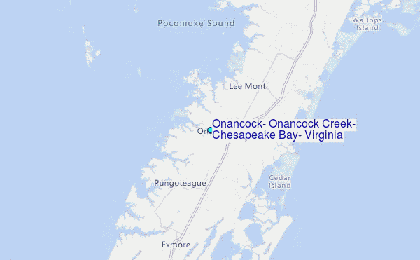
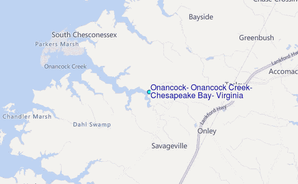
Choose Onancock, Onancock Creek, Chesapeake Bay, Virginia Location Map Zoom:
| Contours: | Roads & Rivers: | Select a
tide station / surf break / city |
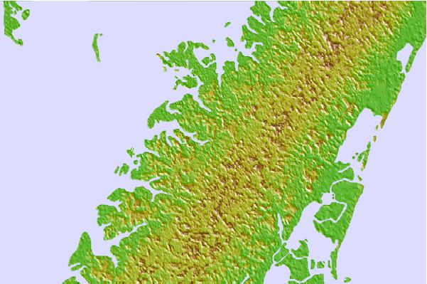

Use this relief map to navigate to tide stations, surf breaks and cities that are in the area of Onancock, Onancock Creek, Chesapeake Bay, Virginia.
Other Nearby Locations' tide tables and tide charts to Onancock, Onancock Creek, Chesapeake Bay, Virginia:
click location name for more details
 Surf breaks close to Onancock, Onancock Creek, Chesapeake Bay, Virginia:
|
||
|---|---|---|
| Closest surf break | Out Front | 26 mi |
| Second closest surf break | Chincoteague | 27 mi |
| Third closest surf break | Fishermans Island | 45 mi |
| Fourth closest surf break | Assateague | 48 mi |
| Fifth closest surf break | Grandview | 52 mi |


 Nearest
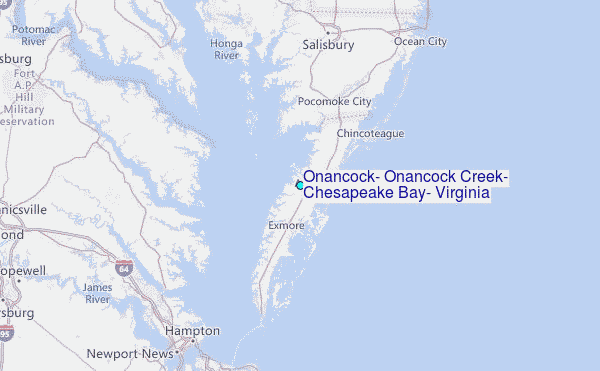