
| Distance / Altitude | Location | Report Date / Time | Live Weather | Wind | Gusts | Temp. | Visibility | Cloud |
|---|---|---|---|---|---|---|---|---|
| 37 km WNW / 1 m | Everglades City wx (United States) | 2026-07-26 23:01 local (2026/07/27 03:01 GMT) | dry | calm (0 km/h at 353) | 24°C | - | - - 0 | |
| 68 km WNW / 2 m | Marco Island Airport (Florida) (Florida) | 2026-07-26 21:56 local (2026/07/27 01:56 GMT) | Clear | calm (0 km/h at 0) | 26°C | 16 | ||
| 70 km ENE / 3 m | Kendall West wx (United States) | 2026-07-26 22:09 local (2026/07/27 02:09 GMT) | dry | calm (0 km/h at 220) | 24°C | - | - - 0 | |
| 70 km E / 218 m | Miami/Tamiami Airport (Florida) | 2026-07-26 21:53 local (2026/07/27 01:53 GMT) | Clear | light winds from the W (7 km/h at 260) | 24°C | 16 | ||
| 71 km E / 4 m | Richmond West wx (United States) | 2026-07-26 23:04 local (2026/07/27 03:04 GMT) | dry | calm (2 km/h at 296) | 26°C | - | - - 0 | |
| 72 km WNW / 1 m | Marco Shores Estates Mobile Home Park wx (United States) | 2026-07-26 22:47 local (2026/07/27 02:47 GMT) | dry | calm (3 km/h at 224) | 27°C | - | - - 0 | |
| 72 km ESE / 1 m | lightning 19km SSW of Florida City (United States) | 2026-07-26 21:04 local (2026/07/27 01:04 GMT) | Thunderstorm | (- km/h at -) | — | |||
| 74 km WNW / 3 m | BUOY-RKXF1 (Marine) | 2026-07-26 22:00 local (2026/07/27 02:00 GMT) | calm (4 km/h at 270) | 25°C | - | |||
| 77 km SE / 0 m | lightning 13km NW of Key Largo (United States) | 2026-07-26 21:05 local (2026/07/27 01:05 GMT) | Thunderstorm | (- km/h at -) | — | |||
| 79 km ESE / 216 m | Homestead Air Force Base Airport (Florida) | 2026-07-26 21:55 local (2026/07/27 01:55 GMT) | Clear | light winds from the SW (11 km/h at 230) | 26°C | 16 |
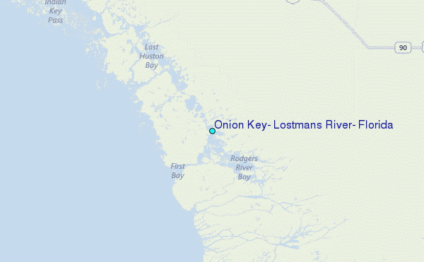
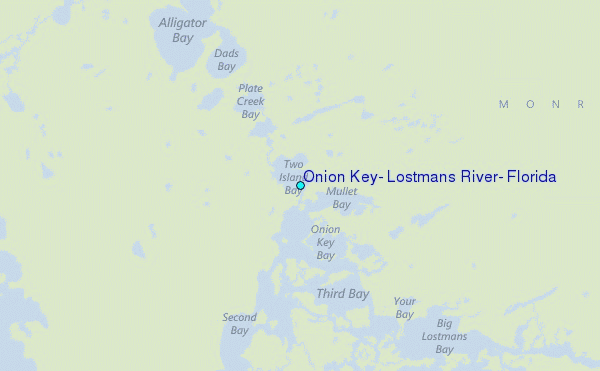
Choose Onion Key, Lostmans River, Florida Location Map Zoom:
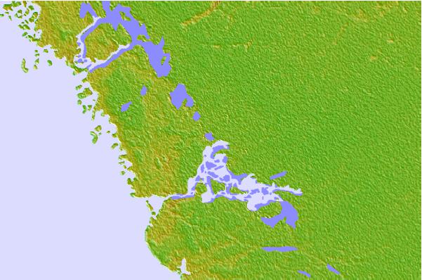
| Contours: | Roads & Rivers: | Select a
tide station / surf break / city |

Use this relief map to navigate to tide stations, surf breaks and cities that are in the area of Onion Key, Lostmans River, Florida.
Other Nearby Locations' tide tables and tide charts to Onion Key, Lostmans River, Florida:
click location name for more details
 Surf breaks close to Onion Key, Lostmans River, Florida:
|
||
|---|---|---|
| Closest surf break | Naples Pier | 52 mi |
| Second closest surf break | Fifth Street (Miami) | 63 mi |
| Third closest surf break | South Beach (Miami) | 63 mi |
| Fourth closest surf break | Wiggins Pass | 63 mi |
| Fifth closest surf break | 21st Street (Miami) | 64 mi |


 Nearest
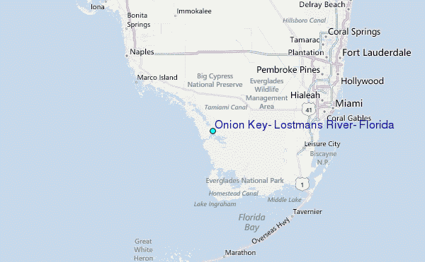