
| Distance / Altitude | Location | Report Date / Time | Live Weather | Wind | Gusts | Temp. | Visibility | Cloud |
|---|---|---|---|---|---|---|---|---|
| 49 km ENE / 15 m | ASCATB149E9S (Marine) | 2026-06-08 08:26 local (2026/06/07 22:26 GMT) | moderate winds from the SSE (25 km/h at 164) | — | - km | |||
| 53 km NE / 15 m | ASCATB149E8S (Marine) | 2026-06-08 08:26 local (2026/06/07 22:26 GMT) | moderate winds from the SSE (25 km/h at 150) | — | - km | |||
| 113 km ENE / 15 m | ASCATC149E8S (Marine) | 2026-06-08 08:54 local (2026/06/07 22:54 GMT) | fresh winds from the SSE (31 km/h at 151) | — | - km | |||
| 115 km N / 15 m | ASCATB148E8S (Marine) | 2026-06-08 08:26 local (2026/06/07 22:26 GMT) | moderate winds from the SE (28 km/h at 134) | — | - km | |||
| 131 km ENE / 15 m | ASCATB150E8S (Marine) | 2026-06-08 08:26 local (2026/06/07 22:26 GMT) | moderate winds from the SSE (27 km/h at 166) | — | - km | |||
| 134 km E / 15 m | ASCATB150E9S (Marine) | 2026-06-08 08:26 local (2026/06/07 22:26 GMT) | strong winds from the SSE (42 km/h at 150) | — | - km | |||
| 148 km ENE / 15 m | ASCATC150E8S (Marine) | 2026-06-08 08:54 local (2026/06/07 22:54 GMT) | moderate winds from the SE (27 km/h at 139) | — | - km | |||
| 150 km SW / 48 m | Port Moresby (Papua New Guinea) | 2026-06-08 10:00 local (2026/06/08 00:00 GMT) | haze | fresh winds from the SSE (30 km/h at 160) | 26°C | 20 | - - - | |
| 164 km N / 15 m | ASCATB149E7S (Marine) | 2026-06-08 08:26 local (2026/06/07 22:26 GMT) | fresh winds from the SE (30 km/h at 130) | — | - km | |||
| 189 km S / 15 m | ASCATB148E10S (Marine) | 2026-06-08 08:27 local (2026/06/07 22:27 GMT) | fresh winds from the SE (33 km/h at 124) | — | - km |
| Contours: | Roads & Rivers: | Select a
tide station / surf break / city |
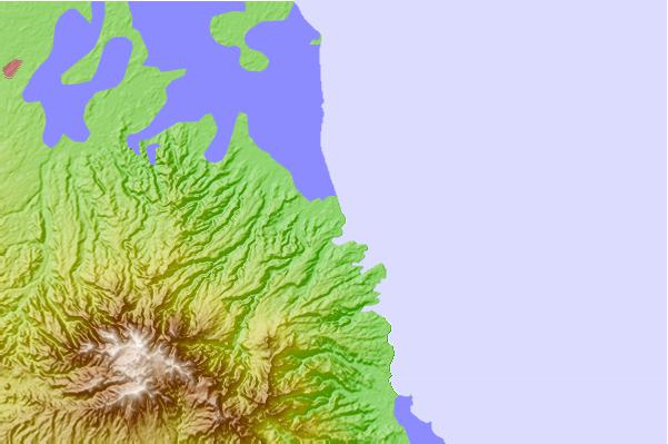
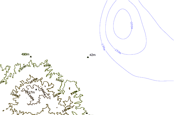
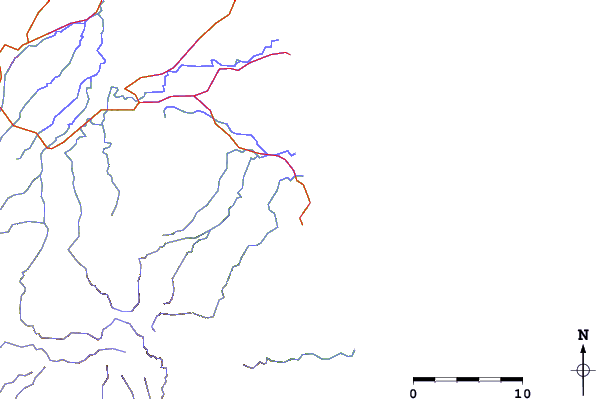
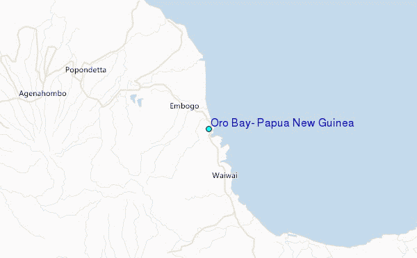
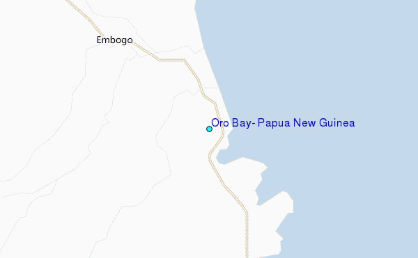
Use this relief map to navigate to tide stations, surf breaks and cities that are in the area of Oro Bay, Papua New Guinea.
Other Nearby Locations' tide tables and tide charts to Oro Bay, Papua New Guinea:
click location name for more details
 Surf breaks close to Oro Bay, Papua New Guinea:
|
||
|---|---|---|
| Closest surf break | Tupira Right | 372 mi |
| Second closest surf break | Raiven | 409 mi |
| Third closest surf break | Duke of York | 421 mi |
| Fourth closest surf break | Rubio | 454 mi |
| Fifth closest surf break | Edmago | 457 mi |


 Nearest
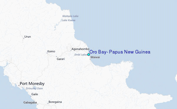