
| Distance / Altitude | Location | Report Date / Time | Live Weather | Wind | Gusts | Temp. | Visibility | Cloud |
|---|---|---|---|---|---|---|---|---|
| 45 km SW / 2 m | DunedinAeroAws (New Zealand) | 2026-04-05 17:00 local (2026/04/05 05:00 GMT) | Clear skies | moderate winds from the ENE (22 km/h at 60) | 13°C | 20 km | no observation | |
| 45 km SW / 2 m | Dunedin Airport (New zealand) | 2026-04-05 16:30 local (2026/04/05 04:30 GMT) | - | moderate winds from the NE (22 km/h at 50) | 13°C | 10.0 | ||
| 76 km NNE / 62 m | Oamaru (New Zealand) | 2026-04-05 17:48 local (2026/04/05 05:48 GMT) | dry | calm (3 km/h at 50) | 12°C | - | - - 0 | |
| 94 km NNE / 30 m | Oamaru Aero Automatic Weather Station (New Zealand) | 2026-04-05 17:00 local (2026/04/05 05:00 GMT) | Clear skies | light winds from the ENE (17 km/h at 70) | 13°C | 10 km | - no observation - | |
| 96 km NW / 581 m | Naseby (New Zealand) | 2026-04-05 17:17 local (2026/04/05 05:17 GMT) | dry | calm (3 km/h at 69) | 9°C | - | - - 0 | |
| 103 km SSW / 131 m | Nugget Point Automatic Weather Station (New Zealand) | 2026-04-05 17:00 local (2026/04/05 05:00 GMT) | - | strong winds from the NE (46 km/h at 50) | 11°C | - | - no observation - | |
| 155 km NW / 485 m | Tara Hills Automatic Weather Station (New Zealand) | 2026-04-05 17:00 local (2026/04/05 05:00 GMT) | Continuous light rain | light winds from the SE (13 km/h at 140) | 11°C | - | - no observation - | |
| 161 km NNE / 27 m | Marchwiel wx (New Zealand) | 2026-04-05 17:02 local (2026/04/05 05:02 GMT) | dry | light winds from the NE (8 km/h at 56) | 13°C | - | - - 0 | |
| 169 km NNE / 27 m | TimaruAeroAws (New Zealand) | 2026-04-05 17:00 local (2026/04/05 05:00 GMT) | Clear skies | light winds from the NE (13 km/h at 50) | 13°C | 20 km | - no observation - | |
| 172 km W / 629 m | Terrace SouthernClub (New Zealand) | 2026-04-05 17:00 local (2026/04/05 05:00 GMT) | - | strong winds from the ESE (50 km/h at 113) | 11°C | - | - - 0 |
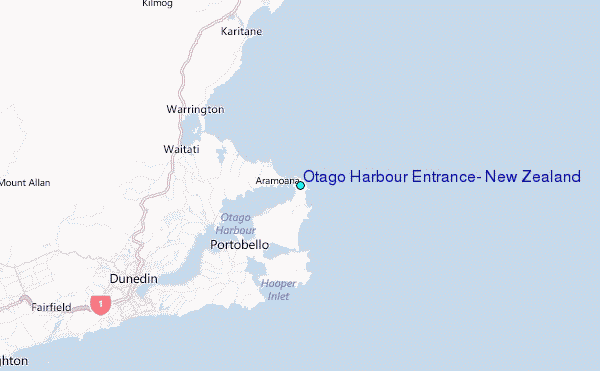
Choose Otago Harbour Entrance, New Zealand Location Map Zoom:
| Contours: | Roads & Rivers: | Select a
tide station / surf break / city |
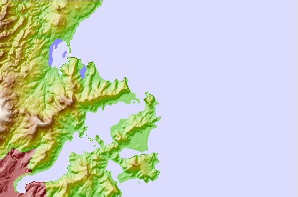
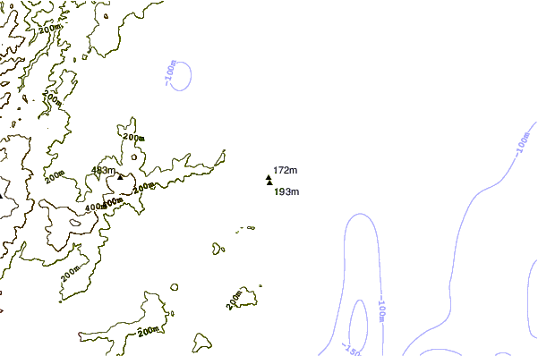
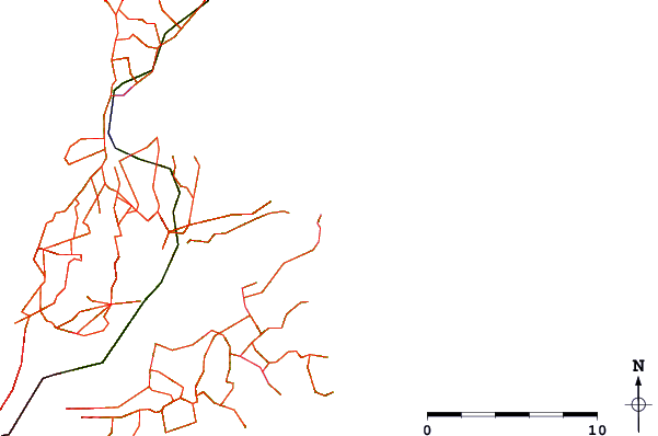
Use this relief map to navigate to tide stations, surf breaks and cities that are in the area of Otago Harbour Entrance, New Zealand.
Other Nearby Locations' tide tables and tide charts to Otago Harbour Entrance, New Zealand:
click location name for more details
 Surf breaks close to Otago Harbour Entrance, New Zealand:
|
||
|---|---|---|
| Closest surf break | Aramoana Spit | 1 mi |
| Second closest surf break | Otago Peninsula - Penguin Beach | 1 mi |
| Third closest surf break | Otago Peninsula - Pipikaretu | 2 mi |
| Fourth closest surf break | Murdering Bay | 2 mi |
| Fifth closest surf break | Otago Peninsula - Long Beach | 5 mi |


 Nearest
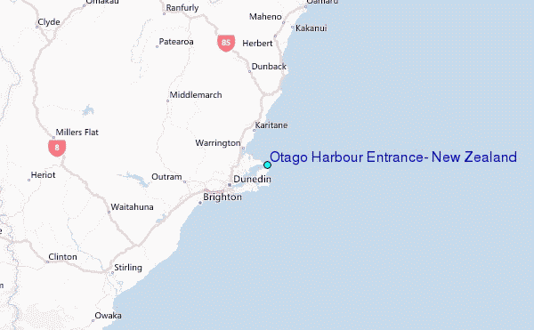