
| Distance / Altitude | Location | Report Date / Time | Live Weather | Wind | Gusts | Temp. | Visibility | Cloud |
|---|---|---|---|---|---|---|---|---|
| 4 km ENE / 217 m | Oxnard Airport (California) | 2026-07-22 12:51 local (2026/07/22 19:51 GMT) | Dry and cloudy | moderate winds from the W (22 km/h at 260) | 23°C | 16 | overcast | |
| 14 km SE / 217 m | Point Mugu Naval Air Station Airport (California) | 2026-07-22 12:28 local (2026/07/22 19:28 GMT) | Dry and partly cloudy | moderate winds from the W (22 km/h at 270) | 23°C | 14 | scattered scattered | |
| 16 km E / 216 m | Camarillo Airport (California) | 2026-07-22 11:55 local (2026/07/22 18:55 GMT) | Clear | light winds from the SW (11 km/h at 230) | 24°C | 16 | ||
| 48 km W / 3 m | BUOY-NTBC1 (Marine) | 2026-07-22 12:36 local (2026/07/22 19:36 GMT) | calm (5 km/h at 180) | 21°C | - | |||
| 49 km SSE / 3 m | Santa Monica Basin Buoy (Marine) | 2026-07-22 12:40 local (2026/07/22 19:40 GMT) | light winds from the WSW (14 km/h at 250) | 20°C | - | |||
| 56 km NW / 1410 m | Reedley Airport (California) (California) | 2026-07-22 12:35 local (2026/07/22 19:35 GMT) | Clear | calm (0 km/h at 0) | 33°C | 16 | ||
| 56 km WSW / 3 m | East Santa Barbara Buoy (Marine) | 2026-07-22 12:40 local (2026/07/22 19:40 GMT) | fresh winds from the W (29 km/h at 270) | 19°C | - | |||
| 56 km S / 3 m | Santa Cruz Basin- CA (Marine) | 2026-07-22 12:56 local (2026/07/22 19:56 GMT) | - (- km/h at -) | 20°C | - | |||
| 62 km W / 218 m | Santa Barbara Airport (California) | 2026-07-22 11:53 local (2026/07/22 18:53 GMT) | Clear | wind obs. (15 kph from 150 degs) was rejected (- km/h at -) | 23°C | 16 | ||
| 64 km ESE / 3 m | BUOY-46268 (Marine) | 2026-07-22 12:00 local (2026/07/22 19:00 GMT) | - (- km/h at -) | — | - |
| Contours: | Roads & Rivers: | Select a
tide station / surf break / city |
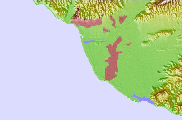
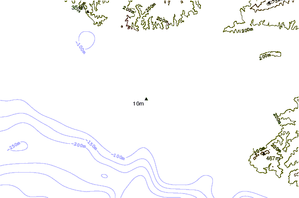
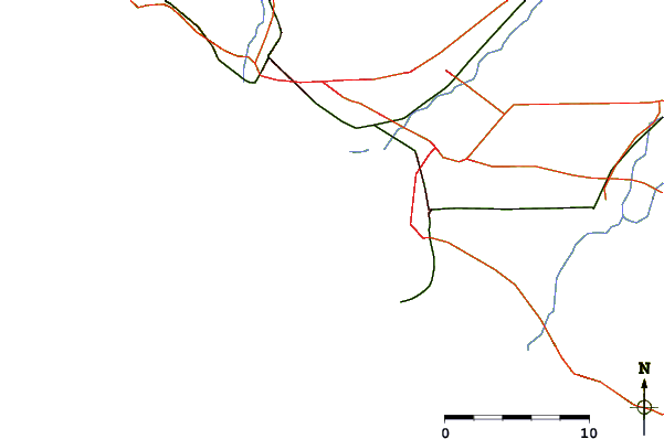
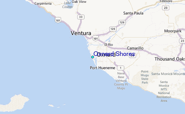
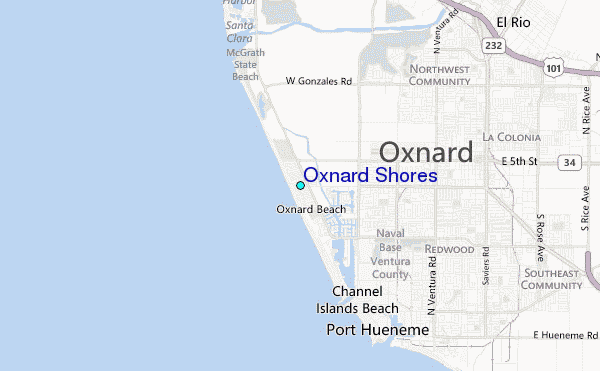
Use this relief map to navigate to tide stations, surf breaks and cities that are in the area of Oxnard Shores.
Other Nearby Locations' tide tables and tide charts to Oxnard Shores:
click location name for more details
 Surf breaks close to Oxnard Shores:
|
||
|---|---|---|
| Closest surf break | Hollywood Beach | 1 mi |
| Second closest surf break | Oxnard Shores | 2 mi |
| Third closest surf break | Port Hueneme Beach Park | 3 mi |
| Fourth closest surf break | Santa Clara Rivermouth | 3 mi |
| Fifth closest surf break | Silver Strand | 3 mi |


 Nearest
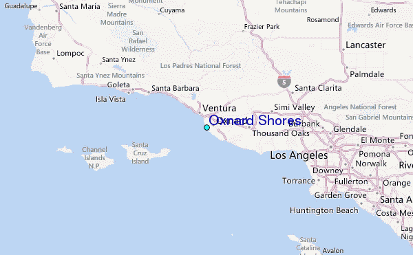