
| Distance / Altitude | Location | Report Date / Time | Live Weather | Wind | Gusts | Temp. | Visibility | Cloud |
|---|---|---|---|---|---|---|---|---|
| 54 km SE / 3 m | SurabayaPerakI (Indonesia) | 2025-12-25 13:00 local (2025/12/25 06:00 GMT) | - | wind obs. (19 kph from 310 degs) was rejected (- km/h at -) | 34°C | 30 km | - mostly cloudy - | |
| 71 km SE / 2 m | Juanda Airport (Indonesia) | 2025-12-25 14:44 local (2025/12/25 07:44 GMT) | Heavy rain | wind obs. (17 kph from 70 degs) was rejected (- km/h at -) | 31°C | 2.5 | scattered | |
| 129 km SE / 3 m | SHIP7146 (Marine) | 2025-12-25 14:00 local (2025/12/25 07:00 GMT) | - (- km/h at -) | 31°C | - | |||
| 216 km WSW / 152 m | Bukitsari wx (Indonesia) | 2025-12-25 14:06 local (2025/12/25 07:06 GMT) | - | - (- km/h at ) | 27°C | - | - - 0 | |
| 216 km WSW / 152 m | Bukitsari wx (Indonesia) | 2025-12-25 15:11 local (2025/12/25 08:11 GMT) | - | - (- km/h at ) | 34°C | - | - - 0 | |
| 129 km SE / 15 m | SHIP4052 (Marine) | 2025-12-25 14:00 local (2025/12/25 07:00 GMT) | - (- km/h at -) | — | - km | |||
| 129 km SE / 15 m | SHIP3696 (Marine) | 2025-12-25 15:00 local (2025/12/25 08:00 GMT) | - (- km/h at -) | — | - km | |||
| 217 km WSW / 152 m | Bukitsari wx (Indonesia) | 2025-12-25 14:06 local (2025/12/25 07:06 GMT) | - | - (- km/h at ) | 27°C | - | - - 0 | |
| 217 km WSW / 152 m | Bukitsari wx (Indonesia) | 2025-12-25 15:11 local (2025/12/25 08:11 GMT) | - | - (- km/h at ) | 34°C | - | - - 0 | |
| 221 km WSW / 5 m | Ahmad Yani International Airport (Indonesia) | 2025-12-25 14:30 local (2025/12/25 07:30 GMT) | Thunderstorm - | light winds from the S.(Wind varies from 160 to 230 degs) (9 km/h at 190) | 29°C | 7.0 | few broken |
| Contours: | Roads & Rivers: | Select a
tide station / surf break / city |
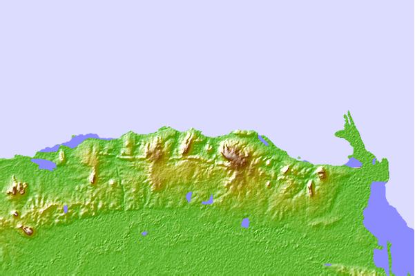
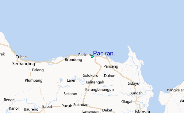
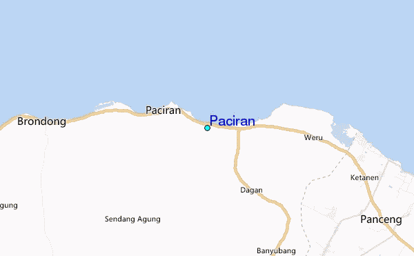
Use this relief map to navigate to tide stations, surf breaks and cities that are in the area of Paciran.
Other Nearby Locations' tide tables and tide charts to Paciran:
click location name for more details
 Surf breaks close to Paciran:
|
||
|---|---|---|
| Closest surf break | Grajagan Bay/G-Land | 186 mi |
| Second closest surf break | Tanjung Kucur | 189 mi |
| Third closest surf break | Medewi | 199 mi |
| Fourth closest surf break | Balian | 210 mi |
| Fifth closest surf break | Pererenan | 226 mi |


 Nearest
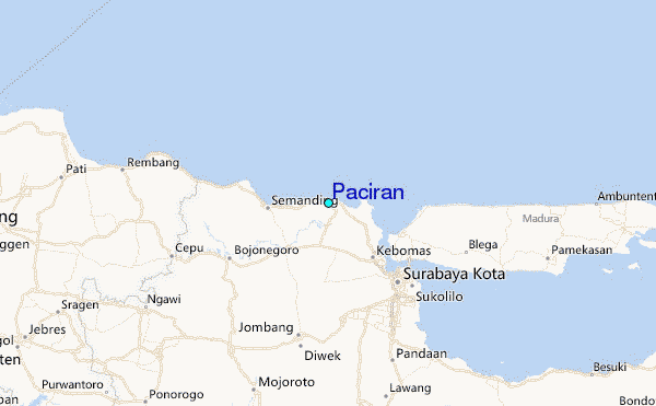