
| Distance / Altitude | Location | Report Date / Time | Live Weather | Wind | Gusts | Temp. | Visibility | Cloud |
|---|---|---|---|---|---|---|---|---|
| 670 km SE / 3 m | Kiritimati Airport (Christmas Island) (Kiribati) | 2026-03-22 14:00 local (2026/03/23 00:00 GMT) | - | light winds from the E (11 km/h at 90) | 32°C | |||
| 1172 km NNE / 15 m | SHIP2358 (Marine) | 2026-03-22 15:00 local (2026/03/23 01:00 GMT) | moderate winds from the ESE (27.720000000000002 km/h at 110) | 27°C | 17.7 km | |||
| 1330 km NNE / 3 m | SW Hawaii Buoy (Marine) | 2026-03-22 15:20 local (2026/03/23 01:20 GMT) | light winds from the E (7 km/h at 100) | 25°C | - | |||
| 1324 km NNE / 3 m | SW Hawaii Buoy (Marine) | 2026-03-22 15:20 local (2026/03/23 01:20 GMT) | light winds from the E (7 km/h at 100) | 25°C | - | |||
| 1326 km NNE / - m | SHIP844 (ocean) | 2026-03-22 13:00 local (2026/03/22 23:00 GMT) | - | light winds from the SE (18 km/h at 130) | 25°C | - | no observation | |
| 1326 km NNE / - m | SHIP290 (ocean) | 2026-03-22 15:00 local (2026/03/23 01:00 GMT) | - | calm (4 km/h at 340) | 25°C | - | no observation | |
| 1326 km NNE / - m | SHIP1186 (ocean) | 2026-03-22 13:00 local (2026/03/22 23:00 GMT) | - | light winds from the SE (18 km/h at 140) | 25°C | - | no observation | |
| 1326 km NNE / - m | SHIP802 (ocean) | 2026-03-22 13:00 local (2026/03/22 23:00 GMT) | - | light winds from the SE (18 km/h at 130) | 25°C | - | no observation | |
| 1326 km NNE / - m | SHIP72 (ocean) | 2026-03-22 15:00 local (2026/03/23 01:00 GMT) | - | calm (4 km/h at 60) | 25°C | - | no observation | |
| 1326 km NNE / - m | SHIP1407 (ocean) | 2026-03-22 13:00 local (2026/03/22 23:00 GMT) | - | light winds from the SE (18 km/h at 130) | 25°C | - | no observation |
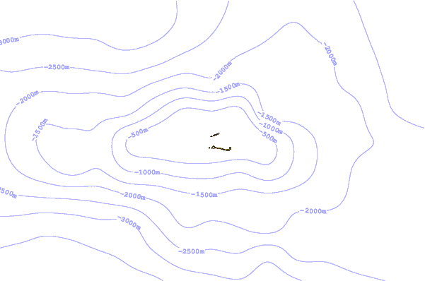
| Contours: | Roads & Rivers: | Select a
tide station / surf break / city |
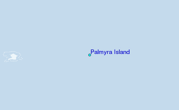
Use this relief map to navigate to tide stations, surf breaks and cities that are in the area of Palmyra Island.
Other Nearby Locations' tide tables and tide charts to Palmyra Island:
click location name for more details
 Surf breaks close to Palmyra Island:
|
||
|---|---|---|
| Closest surf break | English Channel Left (Fanning Island) | 233 mi |
| Second closest surf break | Kahuku Ranch | 1000 mi |
| Third closest surf break | Kaalualu Point | 1001 mi |
| Fourth closest surf break | The Point_Punaluu | 1006 mi |
| Fifth closest surf break | Punaluu | 1006 mi |


 Nearest
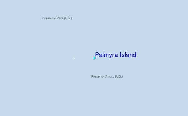