
| Distance / Altitude | Location | Report Date / Time | Live Weather | Wind | Gusts | Temp. | Visibility | Cloud |
|---|---|---|---|---|---|---|---|---|
| 21 km S / 293 m | Davao/Francisco Bangoy International Airport (Philippines) | 2026-04-26 22:00 local (2026/04/26 14:00 GMT) | Dry and partly cloudy | calm (4 km/h at 20) | 27°C | 10.0 | few broken | |
| 21 km S / 293 m | Davao/Francisco Bangoy International Airport (Philippines) | 2026-04-26 21:00 local (2026/04/26 13:00 GMT) | Dry and partly cloudy | calm (2 km/h at 1) | 27°C | 10.0 | scattered broken | |
| 179 km WNW / 10 m | Opol (PI) | 2026-04-26 23:18 local (2026/04/26 15:18 GMT) | dry | calm (0 km/h at 90) | 27°C | - | - - 0 | |
| 205 km N / 36 m | Del Pilar wx (Philippines) | 2026-04-26 23:07 local (2026/04/26 15:07 GMT) | dry | calm (0 km/h at 0) | 25°C | - | - - 0 | |
| 274 km SW / 0 m | lightning 69km WSW of Sangay (Philippines) | 2026-04-26 23:17 local (2026/04/26 15:17 GMT) | Thunderstorm | (- km/h at -) | — | |||
| 280 km N / 20 m | BRAVO SIARGAO (Philippines) | 2026-04-26 23:00 local (2026/04/26 15:00 GMT) | - | fresh winds from the E (35 km/h at 87) | 27°C | - | - - 0 | |
| 300 km E / 15 m | ASCATC128E7N (Marine) | 2026-04-26 21:05 local (2026/04/26 13:05 GMT) | light winds from the ENE (15 km/h at 63) | — | - km | |||
| 303 km E / 15 m | ASCATB128E7N (Marine) | 2026-04-26 20:33 local (2026/04/26 12:33 GMT) | light winds from the ENE (16 km/h at 63) | — | - km | |||
| 316 km E / 15 m | ASCATB129E7N (Marine) | 2026-04-26 20:33 local (2026/04/26 12:33 GMT) | light winds from the ENE (15 km/h at 58) | — | - km | |||
| 326 km ENE / 15 m | ASCATC128E8N (Marine) | 2026-04-26 21:05 local (2026/04/26 13:05 GMT) | light winds from the ENE (15 km/h at 74) | — | - km |
| Contours: | Roads & Rivers: | Select a
tide station / surf break / city |
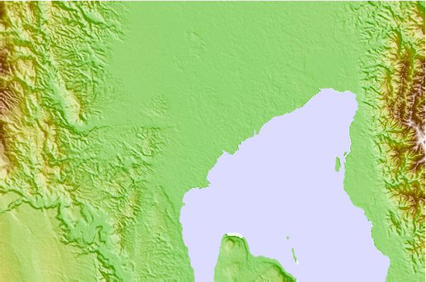
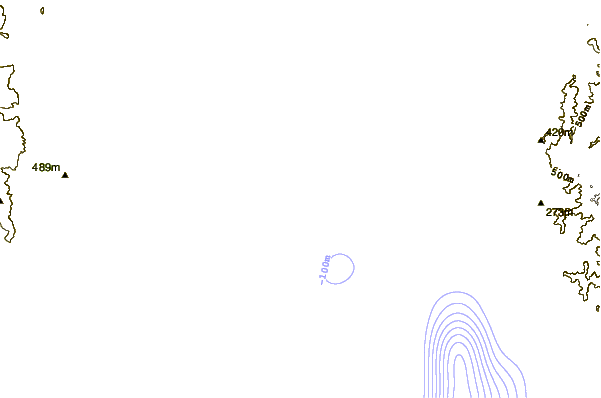
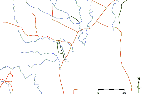
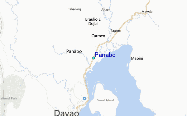
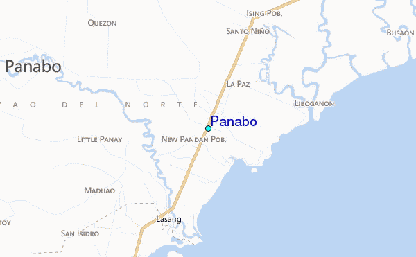
Use this relief map to navigate to tide stations, surf breaks and cities that are in the area of Panabo.
Other Nearby Locations' tide tables and tide charts to Panabo:
click location name for more details
 Surf breaks close to Panabo:
|
||
|---|---|---|
| Closest surf break | Tago River | 124 mi |
| Second closest surf break | Marami Beach | 128 mi |
| Third closest surf break | Lanuza Rivermouth | 135 mi |
| Fourth closest surf break | Big Star | 137 mi |
| Fifth closest surf break | Moshi-Moshi | 139 mi |


 Nearest
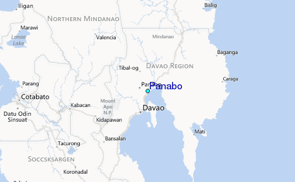