
| Distance / Altitude | Location | Report Date / Time | Live Weather | Wind | Gusts | Temp. | Visibility | Cloud |
|---|---|---|---|---|---|---|---|---|
| 3 km S / 1 m | Parker wx (United States) | 2026-07-27 22:32 local (2026/07/28 03:32 GMT) | dry | wind obs. (6 kph from 67 degs) was rejected (- km/h at -) | 27°C | - | - - 0 | |
| 6 km N / 13 m | lightning 4km ENE of Hiland Park (United States) | 2026-07-27 21:02 local (2026/07/28 02:02 GMT) | Thunderstorm | (- km/h at -) | — | |||
| 7 km WSW / 3 m | BUOY-PACF1 (Marine) | 2026-07-27 22:00 local (2026/07/28 03:00 GMT) | calm (4 km/h at 80) | — | - | |||
| 9 km S / 215 m | Tyndall Air Force Base Airport (Florida) | 2026-07-27 21:44 local (2026/07/28 02:44 GMT) | Thunderstorm - | light winds from the NNE (13 km/h at 20) | 27°C | 16 | scattered scattered broken | |
| 10 km W / 8 m | Pretty Bayou wx (United States) | 2026-07-27 22:20 local (2026/07/28 03:20 GMT) | dry | calm (5 km/h at 345) | 27°C | - | - - 0 | |
| 10 km WNW / 10 m | Dirego Park wx (United States) | 2026-07-27 22:11 local (2026/07/28 03:11 GMT) | dry | calm (3 km/h at 67) | 26°C | - | - - 0 | |
| 11 km NNE / 4 m | Bayou George wx (United States) | 2026-07-27 22:08 local (2026/07/28 03:08 GMT) | dry | light winds from the ENE (10 km/h at 78) | 24°C | - | - - 0 | |
| 12 km SSE / 5 m | Tyndall Drone Airport (Florida) | 2026-07-27 21:44 local (2026/07/28 02:44 GMT) | Thunderstorm - | moderate winds from the N (20 km/h at 10) | — | 14 | few scattered broken | |
| 14 km WSW / 1 m | Magnolia Beach wx (United States) | 2026-07-27 22:33 local (2026/07/28 03:33 GMT) | dry | calm (0 km/h at 0) | 26°C | - | - - 0 | |
| 18 km SE / 0 m | lightning 11km N of Mexico Beach (United States) | 2026-07-27 23:00 local (2026/07/28 04:00 GMT) | Thunderstorm | (- km/h at -) | — |
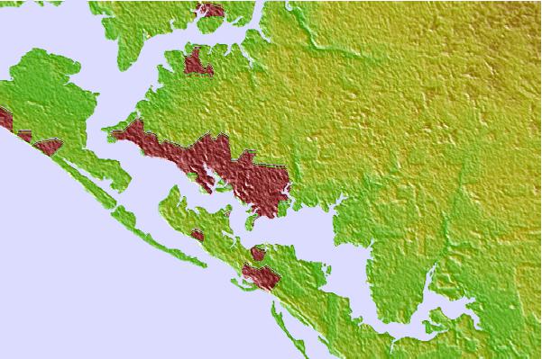
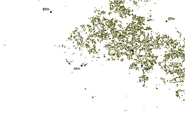
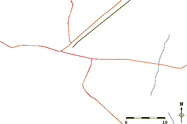
| Contours: | Roads & Rivers: | Select a
tide station / surf break / city |
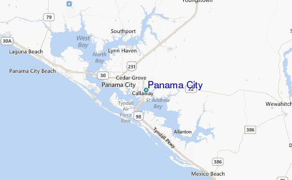
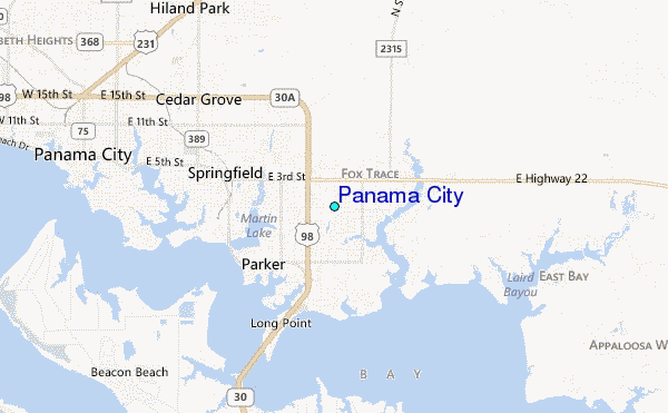
Use this relief map to navigate to tide stations, surf breaks and cities that are in the area of Panama City.
Other Nearby Locations' tide tables and tide charts to Panama City:
click location name for more details
 Surf breaks close to Panama City:
|
||
|---|---|---|
| Closest surf break | Shell Island | 8 mi |
| Second closest surf break | The Pass | 9 mi |
| Third closest surf break | St Andrews State Park | 10 mi |
| Fourth closest surf break | Panama City Beach | 12 mi |
| Fifth closest surf break | Panama City Pier | 13 mi |


 Nearest
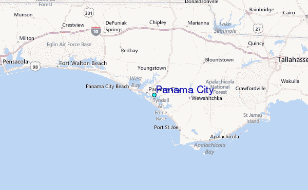