
| Distance / Altitude | Location | Report Date / Time | Live Weather | Wind | Gusts | Temp. | Visibility | Cloud |
|---|---|---|---|---|---|---|---|---|
| 47 km NW / 15 m | General Santos International Airport (Paliparang Pandaigdig ng Heneral Santos) (Philippines) | 2025-12-18 20:00 local (2025/12/18 12:00 GMT) | no report | wind obs. (7 kph from 120 degs) was rejected (- km/h at -) | 27°C | 18 | - | |
| 47 km NW / 15 m | General Santos City (Philippines) | 2025-12-18 20:00 local (2025/12/18 12:00 GMT) | no report | wind obs. (7 kph from 120 degs) was rejected (- km/h at -) | 27°C | 18 | - | |
| 88 km S / 15 m | ASCATC125E5N (Marine) | 2025-12-18 20:35 local (2025/12/18 12:35 GMT) | moderate winds from the NE (22 km/h at 54) | — | - km | |||
| 93 km SW / 0 m | lightning 54km SSW of Kiamba (Philippines) | 2025-12-18 20:44 local (2025/12/18 12:44 GMT) | Thunderstorm | (- km/h at -) | — | |||
| 108 km ESE / 15 m | ASCATC126E5N (Marine) | 2025-12-18 20:35 local (2025/12/18 12:35 GMT) | light winds from the NNE (17 km/h at 14) | — | - km | |||
| 135 km ENE / 15 m | ASCATC126E6N (Marine) | 2025-12-18 20:35 local (2025/12/18 12:35 GMT) | light winds from the NNE (19 km/h at 29) | — | - km | |||
| 162 km NNE / 15 m | SHIP4367 (Marine) | 2025-12-18 20:00 local (2025/12/18 12:00 GMT) | light winds from the NNW (12.96 km/h at 340) | 29°C | - km | |||
| 162 km NNE / 3 m | SHIP8678 (Marine) | 2025-12-18 20:00 local (2025/12/18 12:00 GMT) | light winds from the NNW (13 km/h at 340) | 28°C | - | |||
| 162 km NNE / 3 m | SHIP8374 (Marine) | 2025-12-18 21:00 local (2025/12/18 13:00 GMT) | light winds from the NNW (15 km/h at 330) | 28°C | - | |||
| 162 km NNE / 293 m | Davao/Francisco Bangoy International Airport (Philippines) | 2025-12-18 21:00 local (2025/12/18 13:00 GMT) | - | light winds from the NNE (6 km/h at 20) | 26°C | 10.0 | few |
| Contours: | Roads & Rivers: | Select a
tide station / surf break / city |
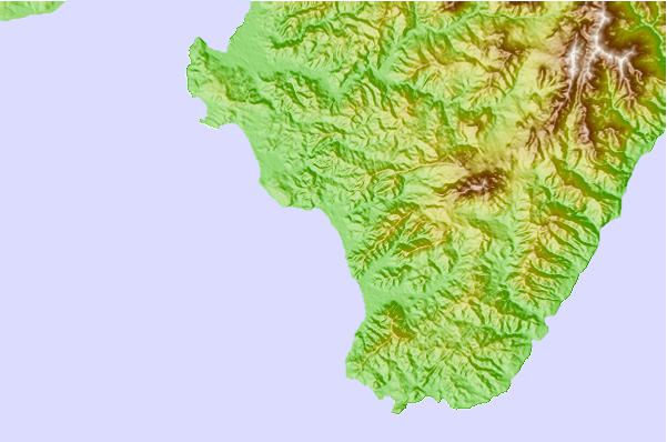
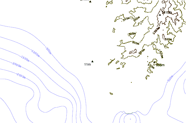
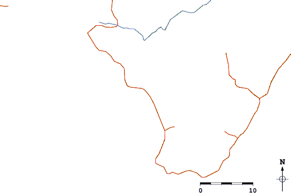
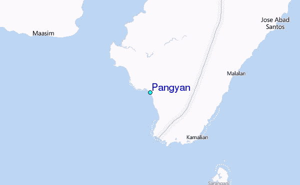
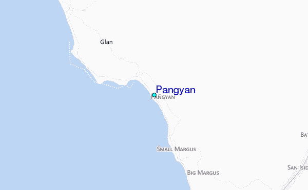
Use this relief map to navigate to tide stations, surf breaks and cities that are in the area of Pangyan.
Other Nearby Locations' tide tables and tide charts to Pangyan:
click location name for more details
 Surf breaks close to Pangyan:
|
||
|---|---|---|
| Closest surf break | Tago River | 238 mi |
| Second closest surf break | Marami Beach | 242 mi |
| Third closest surf break | Lanuza Rivermouth | 250 mi |
| Fourth closest surf break | Big Star | 252 mi |
| Fifth closest surf break | Moshi-Moshi | 253 mi |


 Nearest
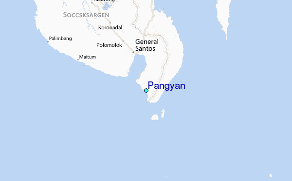