
| Distance / Altitude | Location | Report Date / Time | Live Weather | Wind | Gusts | Temp. | Visibility | Cloud |
|---|---|---|---|---|---|---|---|---|
| 4 km WSW / 10 m | Paramaribo Airport (Suriname) | 2026-03-31 13:00 local (2026/03/31 16:00 GMT) | Shower - in the vicinity | light winds from the ENE (19 km/h at 60) | 30°C | 10.0 | scattered few scattered | |
| 41 km S / 469 m | Johan A. Pengel Airport (Suriname) | 2026-03-31 13:00 local (2026/03/31 16:00 GMT) | Shower - in the vicinity | moderate winds from the NE (26 km/h at 40) | 27°C | 10.0 | scattered few | |
| 41 km S / 15 m | Zanderij (Suriname) | 2026-03-31 12:00 local (2026/03/31 15:00 GMT) | Light rain showers | moderate winds from the N (20 km/h at 10) | 29°C | 28 km | mostly cloudy | |
| 129 km ESE / 5 m | Saint -Laurent (France) | 2026-03-31 12:00 local (2026/03/31 15:00 GMT) | no report | - (- km/h at -) | 24°C | - | - | |
| 209 km WSW / 66 m | Nickerie (Surinam) | 2026-03-31 12:00 local (2026/03/31 15:00 GMT) | - | light winds from the ENE (17 km/h at 70) | 29°C | 40 km | scattered | |
| 272 km SSE / 3 m | Maripasoula (French Guiana) | 2026-03-31 12:00 local (2026/03/31 15:00 GMT) | no report | - (- km/h at -) | 23°C | - | - | |
| 282 km ESE / 9 m | Cayenne (French Guiana) | 2026-03-31 12:00 local (2026/03/31 15:00 GMT) | no report | calm (0 km/h at 270) | 26°C | - | - | |
| 328 km ESE / 9 m | Cayenne Matoury (France) | 2026-03-31 12:00 local (2026/03/31 15:00 GMT) | no report | calm (4 km/h at 360) | 24°C | 30 | - - - | |
| 328 km ESE / 211 m | Cayenne/Rochambeau Airport (Guiana) | 2026-03-31 13:30 local (2026/03/31 16:30 GMT) | Light rain | light winds from the N (6 km/h at 1) | — | 6.0 | few scattered broken | |
| 337 km ESE / 90 m | St Hilaire du Rorota (French Guiana) | 2026-03-31 14:00 local (2026/03/31 17:00 GMT) | - | moderate winds from the NE (20 km/h at 43) | 25°C | - | - - 0 |
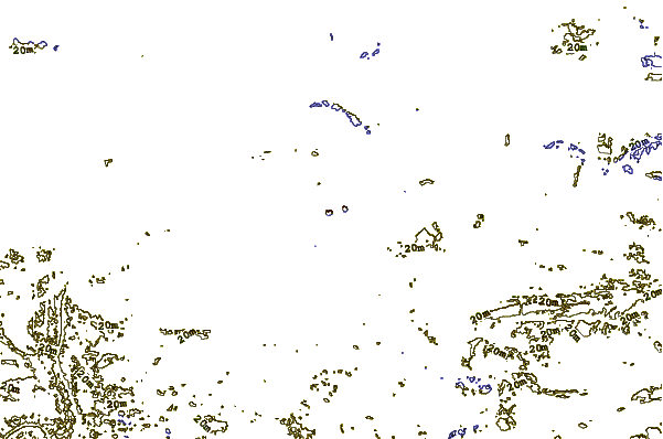
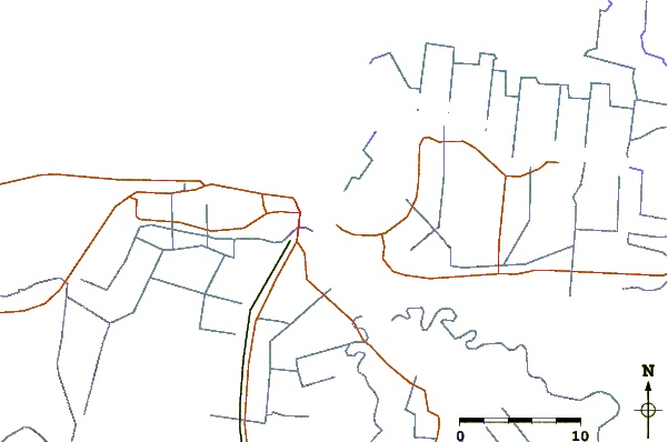
| Contours: | Roads & Rivers: | Select a
tide station / surf break / city |
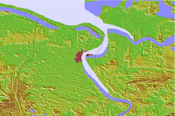
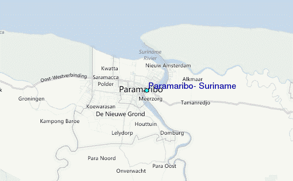
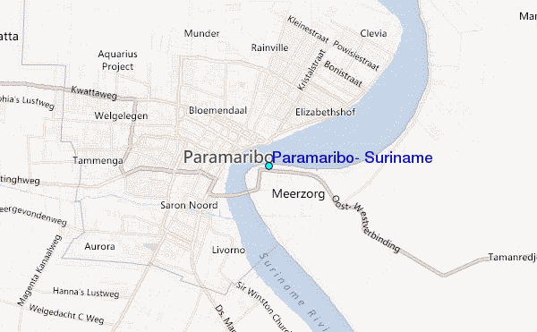
Use this relief map to navigate to tide stations, surf breaks and cities that are in the area of Paramaribo, Suriname.
Other Nearby Locations' tide tables and tide charts to Paramaribo, Suriname:
click location name for more details
 Surf breaks close to Paramaribo, Suriname:
|
||
|---|---|---|
| Closest surf break | Saint Joseph (Iles du Salut) | 180 mi |
| Second closest surf break | Ilet du Novotel | 205 mi |
| Third closest surf break | Anse de Rémire (L'apcat) | 209 mi |
| Fourth closest surf break | Mahury | 210 mi |
| Fifth closest surf break | La Mère | 214 mi |


 Nearest
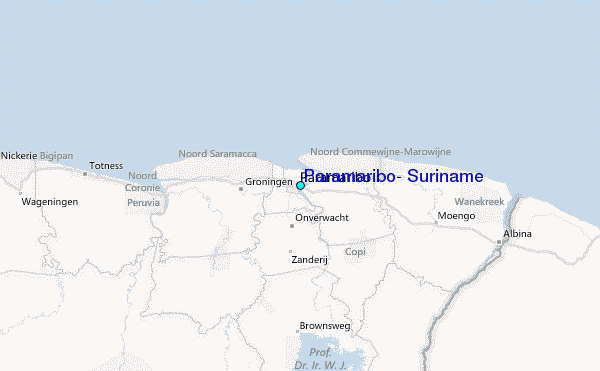