
| Distance / Altitude | Location | Report Date / Time | Live Weather | Wind | Gusts | Temp. | Visibility | Cloud |
|---|---|---|---|---|---|---|---|---|
| 26 km SE / 5 m | Minangkabau Airport (Indonesia) | 2024-04-26 11:30 local (2024/04/26 04:30 GMT) | - | light winds from the WSW.(Wind varies from 170 to 320 degs) (7 km/h at 240) | 32°C | 10.0 | few | |
| 191 km NE / 90 m | Pakanbaru/Simpan Airport (Indonesia) | 2024-04-26 11:30 local (2024/04/26 04:30 GMT) | Dry and partly cloudy | calm (0 km/h at 0) | 31°C | 9.0 | scattered | |
| 398 km NE / 216 m | Malacca (Malaysia) | 2024-04-26 11:00 local (2024/04/26 04:00 GMT) | Dry and partly cloudy | wind obs. (7 kph from 1 degs) was rejected (- km/h at -) | 32°C | 10.0 | scattered | |
| 432 km NNE / 59 m | Puchong New Village wx (Malaysia) | 2024-04-26 11:00 local (2024/04/26 04:00 GMT) | - | - (- km/h at ) | 34°C | - | - - 0 | |
| 442 km NNE / 218 m | Kuala Lumpur/sub Airport (Malaysia) | 2024-04-26 11:30 local (2024/04/26 04:30 GMT) | - | wind obs. (6 kph from 1 degs) was rejected (- km/h at -) | 34°C | 9.0 | few |
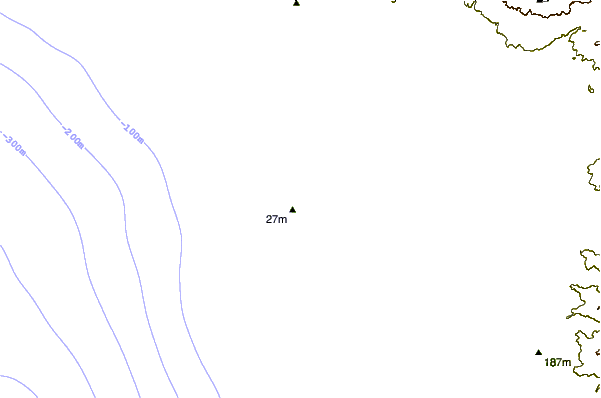
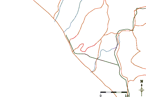
| Contours: | Roads & Rivers: | Select a
tide station / surf break / city |
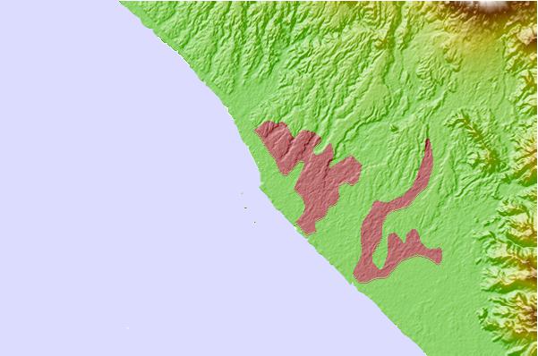
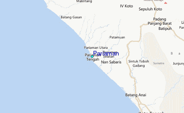
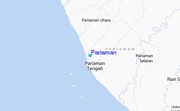
Use this relief map to navigate to tide stations, surf breaks and cities that are in the area of Pariaman.
Other Nearby Locations' tide tables and tide charts to Pariaman:
click location name for more details
 Surf breaks close to Pariaman:
|
||
|---|---|---|
| Closest surf break | Pantai Air Manis | 31 mi |
| Second closest surf break | Beng Beng | 101 mi |
| Third closest surf break | Hideaways (Mentawi Islands) | 102 mi |
| Fourth closest surf break | E-Bay | 103 mi |
| Fifth closest surf break | Pitstops | 103 mi |

 Nearest
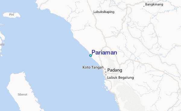