
| Distance / Altitude | Location | Report Date / Time | Live Weather | Wind | Gusts | Temp. | Visibility | Cloud |
|---|---|---|---|---|---|---|---|---|
| 4 km E / 15 m | SHIP2733 (Marine) | 2026-03-04 16:00 local (2026/03/04 05:00 GMT) | - (- km/h at -) | — | - km | |||
| 22 km N / 13 m | Dunalley (Stroud Point) (Australia) | 2026-03-04 17:00 local (2026/03/04 06:00 GMT) | no report | moderate winds from the SW (20 km/h at 220) | 10°C | - | - | |
| 32 km WSW / 6 m | Dennes Point (Australia) | 2026-03-04 17:00 local (2026/03/04 06:00 GMT) | no report | light winds from the SSW (9 km/h at 210) | 9°C | - | - no observation - | |
| 32 km W / 25 m | Mary Ann Bay (Australia) | 2026-03-04 16:00 local (2026/03/04 05:00 GMT) | - | moderate winds from the S (28 km/h at 190) | 19°C | - | - - 0 | |
| 32 km WSW / 46 m | BullBay(Lauriston) (Australia) | 2026-03-04 16:00 local (2026/03/04 05:00 GMT) | Rain | calm (4 km/h at 50) | 21°C | - | - no observation - | |
| 4 km E / 15 m | SHIP3680 (Marine) | 2026-03-04 16:00 local (2026/03/04 05:00 GMT) | - (- km/h at -) | — | - km | |||
| 4 km E / 3 m | SHIP7642 (Marine) | 2026-03-04 17:00 local (2026/03/04 06:00 GMT) | - (- km/h at -) | 24°C | - | |||
| 4 km E / 3 m | SHIP7340 (Marine) | 2026-03-04 16:00 local (2026/03/04 05:00 GMT) | - (- km/h at -) | 25°C | - | |||
| 22 km N / 13 m | Dunalley (Stroud Point) (Australia) | 2026-03-04 17:00 local (2026/03/04 06:00 GMT) | no report | moderate winds from the SW (20 km/h at 220) | 10°C | - | - | |
| 32 km WSW / 6 m | Dennes Point (Australia) | 2026-03-04 17:00 local (2026/03/04 06:00 GMT) | no report | light winds from the SSW (9 km/h at 210) | 9°C | - | - no observation - |
| Contours: | Roads & Rivers: | Select a
tide station / surf break / city |
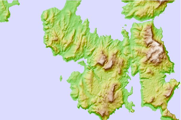
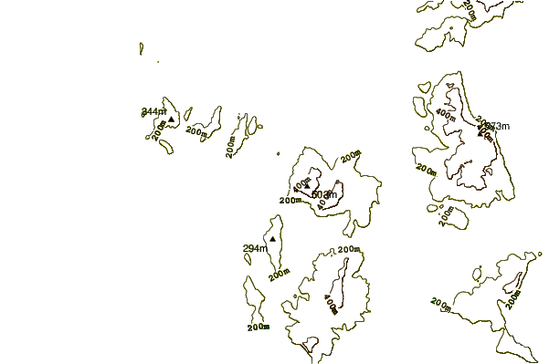
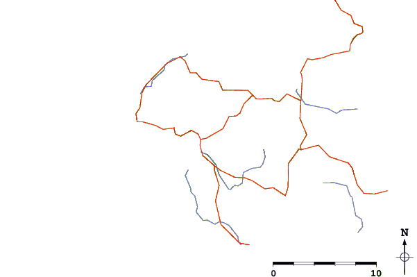
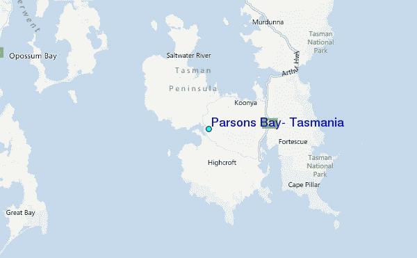
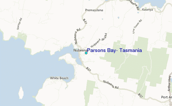
Use this relief map to navigate to tide stations, surf breaks and cities that are in the area of Parsons Bay, Tasmania.
Other Nearby Locations' tide tables and tide charts to Parsons Bay, Tasmania:
click location name for more details
 Surf breaks close to Parsons Bay, Tasmania:
|
||
|---|---|---|
| Closest surf break | Kelpies | 4 mi |
| Second closest surf break | Roaring Beach | 4 mi |
| Third closest surf break | Shipstern Bluff | 7 mi |
| Fourth closest surf break | Remarkable Caves | 7 mi |
| Fifth closest surf break | Safety Cove Reef | 7 mi |


 Nearest
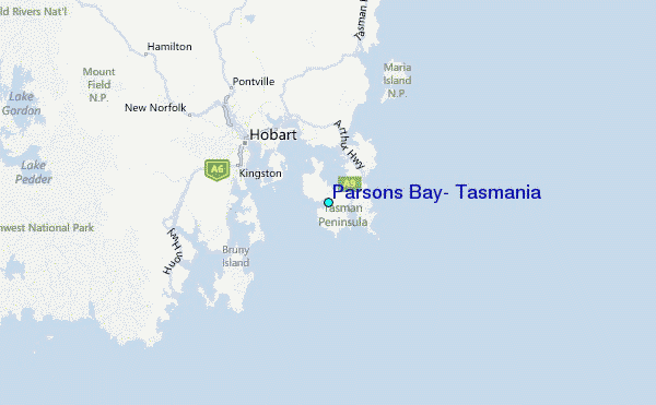