
| Distance / Altitude | Location | Report Date / Time | Live Weather | Wind | Gusts | Temp. | Visibility | Cloud |
|---|---|---|---|---|---|---|---|---|
| 5 km SW / 216 m | Saturna Island Airport (British Columbia) | 2025-12-22 20:00 local (2025/12/23 04:00 GMT) | - | moderate winds from the S (26 km/h at 180) | 6°C | 0.0 | - - - | |
| 6 km WSW / 24 m | Saturna Island Cs- BC (Canada) | 2025-12-22 20:00 local (2025/12/23 04:00 GMT) | - | wind obs. (4 kph from 250 degs) was rejected (- km/h at -) | — | - | - | |
| 10 km SSE / 219 m | Eastsound/Orcas Island Airport (Washington) | 2025-12-22 20:35 local (2025/12/23 04:35 GMT) | - | light winds from the SSW (15 km/h at 200) | — | 16 | few | |
| 12 km WSW / 178 m | SaturnaCapmon-BC (Canada) | 2025-12-22 20:00 local (2025/12/23 04:00 GMT) | - | calm (4 km/h at 240) | — | - | - no observation - | |
| 12 km S / 140 m | Eastsound (Washington) | 2025-12-22 20:33 local (2025/12/23 04:33 GMT) | dry | wind obs. (10 kph from 176 degs) was rejected (- km/h at -) | 4°C | - | - - 0 | |
| 17 km ENE / 3 m | BUOY-CPNW1 (Marine) | 2025-12-22 20:48 local (2025/12/23 04:48 GMT) | moderate winds from the SSW (22 km/h at 210) | — | - | |||
| 17 km ENE / 3 m | BUOY-CHYW1 (Marine) | 2025-12-22 20:48 local (2025/12/23 04:48 GMT) | - (- km/h at -) | — | - | |||
| 17 km ENE / 3 m | BUOY-CPMW1 (Marine) | 2025-12-22 20:48 local (2025/12/23 04:48 GMT) | moderate winds from the SW (28 km/h at 220) | — | - | |||
| 19 km E / 3 m | Sandy Pt. Shores (Washington) | 2025-12-22 20:39 local (2025/12/23 04:39 GMT) | dry | light winds from the S (6 km/h at 185) | 3°C | - | - - 0 | |
| 26 km S / 3 m | BUOY-FRDW1 (Marine) | 2025-12-22 20:36 local (2025/12/23 04:36 GMT) | moderate winds from the WSW (24 km/h at 240) | 6°C | - |
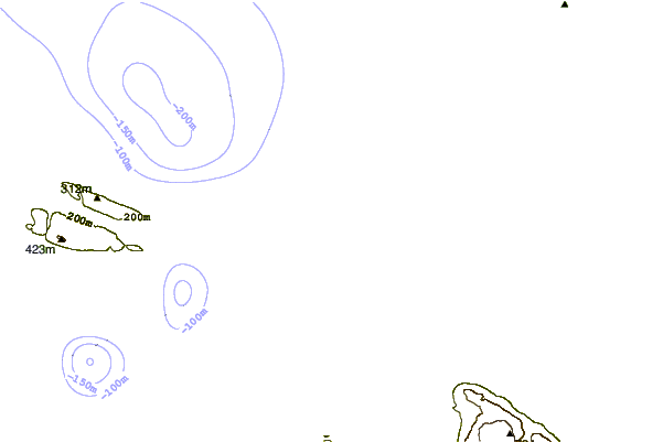
| Contours: | Roads & Rivers: | Select a
tide station / surf break / city |
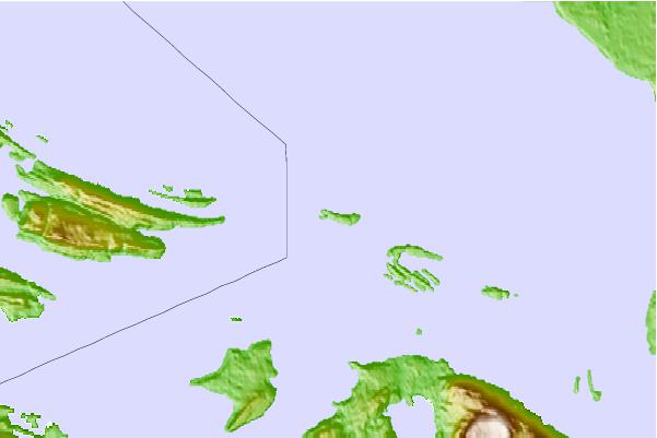
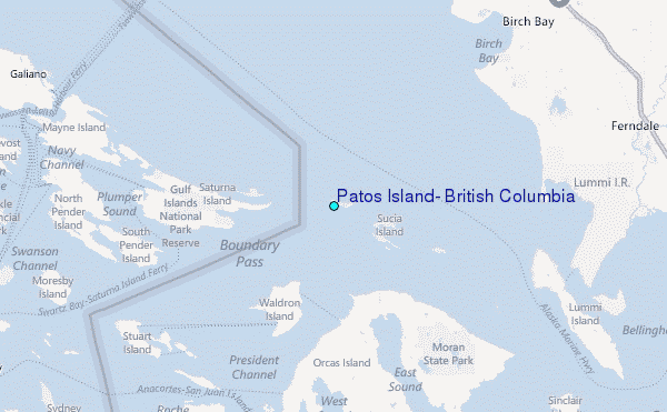
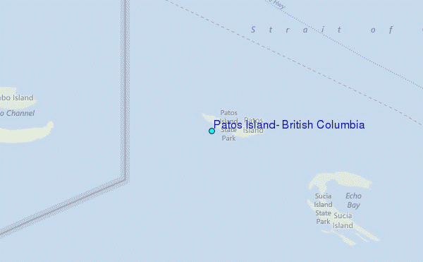
Use this relief map to navigate to tide stations, surf breaks and cities that are in the area of Patos Island, British Columbia.
Other Nearby Locations' tide tables and tide charts to Patos Island, British Columbia:
click location name for more details
 Surf breaks close to Patos Island, British Columbia:
|
||
|---|---|---|
| Closest surf break | Ambleside Park | 38 mi |
| Second closest surf break | Fort. Ebey | 40 mi |
| Third closest surf break | Super green | 48 mi |
| Fourth closest surf break | Elwha | 52 mi |
| Fifth closest surf break | Jordan River | 52 mi |


 Nearest
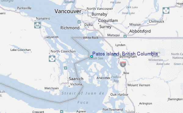