
| Distance / Altitude | Location | Report Date / Time | Live Weather | Wind | Gusts | Temp. | Visibility | Cloud |
|---|---|---|---|---|---|---|---|---|
| 4 km N / 218 m | Philadelphia Airport (Pennsylvania) | 2026-06-01 17:54 local (2026/06/01 21:54 GMT) | Dry and partly cloudy | moderate winds from the E (24 km/h at 100) | 22°C | 16 | few scattered scattered | |
| 5 km S / 21 m | Mickleton (New Jersey) | 2026-06-01 19:17 local (2026/06/01 23:17 GMT) | - | light winds from the ESE (6 km/h at 121) | 17°C | - | - - 0 | |
| 8 km ESE / 14 m | Woodbury Heights wx (United States) | 2026-06-01 19:32 local (2026/06/01 23:32 GMT) | dry | calm (0 km/h at 149) | 18°C | - | - - 0 | |
| 12 km W / 30 m | Wallingford (Pennsylvania) | 2026-06-01 19:44 local (2026/06/01 23:44 GMT) | dry | - (- km/h at ) | — | - | - - 0 | |
| 12 km WNW / 45 m | Swarthmore (Pennsylvania) | 2026-06-01 19:02 local (2026/06/01 23:02 GMT) | dry | calm (0 km/h at 114) | 17°C | - | - - 0 | |
| 13 km NE / 3 m | BUOY-PHBP1 (Marine) | 2026-06-01 19:00 local (2026/06/01 23:00 GMT) | - (- km/h at -) | 20°C | - | |||
| 14 km SSW / 6 m | Logan Township (New Jersey) | 2026-06-01 19:02 local (2026/06/01 23:02 GMT) | dry | calm (3 km/h at 83) | 18°C | - | - - 0 | |
| 14 km NW / 70 m | Beverly Hills wx (United States) | 2026-06-01 18:47 local (2026/06/01 22:47 GMT) | dry | wind obs. (6 kph from 140 degs) was rejected (- km/h at -) | 20°C | - | - - 0 | |
| 14 km NNE / 5 m | Philadelphia (Pennsylvania) | 2026-06-01 19:36 local (2026/06/01 23:36 GMT) | dry | calm (5 km/h at 82) | 18°C | - | - - 0 | |
| 16 km WSW / 3 m | BUOY-MRCP1 (Marine) | 2026-06-01 19:00 local (2026/06/01 23:00 GMT) | - (- km/h at -) | 20°C | - |
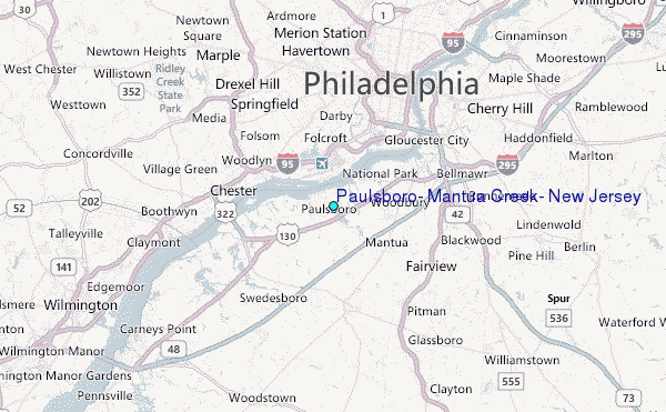
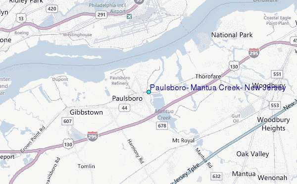
Choose Paulsboro, Mantua Creek, New Jersey Location Map Zoom:
| Contours: | Roads & Rivers: | Select a
tide station / surf break / city |
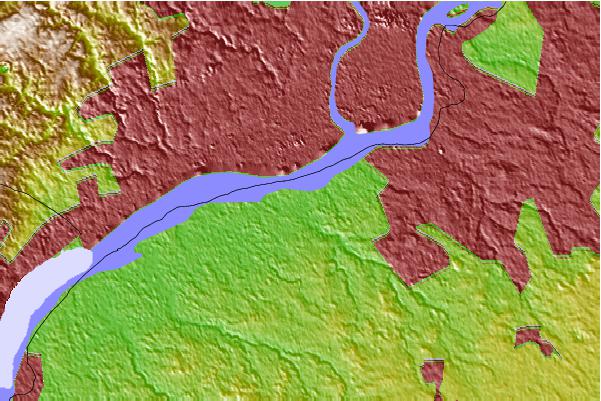
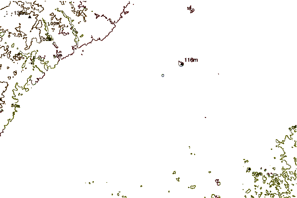
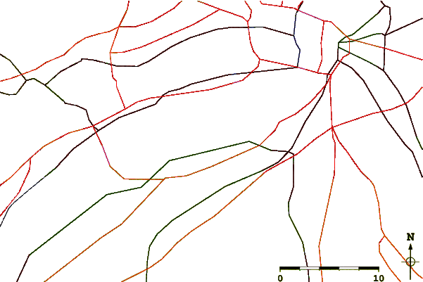
Use this relief map to navigate to tide stations, surf breaks and cities that are in the area of Paulsboro, Mantua Creek, New Jersey.
Other Nearby Locations' tide tables and tide charts to Paulsboro, Mantua Creek, New Jersey:
click location name for more details
 Surf breaks close to Paulsboro, Mantua Creek, New Jersey:
|
||
|---|---|---|
| Closest surf break | 8th Street Jetty | 52 mi |
| Second closest surf break | Great Egg Harbor Inlet Longport | 52 mi |
| Third closest surf break | Ocean City - 14th 15th St | 52 mi |
| Fourth closest surf break | Waverly | 52 mi |
| Fifth closest surf break | 5th Street | 53 mi |


 Nearest
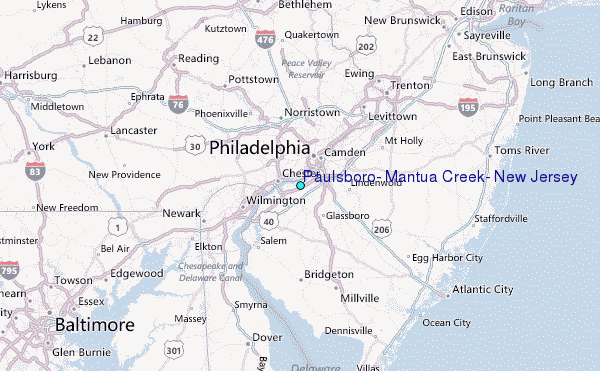