
| Distance / Altitude | Location | Report Date / Time | Live Weather | Wind | Gusts | Temp. | Visibility | Cloud |
|---|---|---|---|---|---|---|---|---|
| 46 km WNW / 2 m | Marco Island Airport (Florida) (Florida) | 2026-04-22 19:56 local (2026/04/22 23:56 GMT) | Dry and cloudy | light winds from the ENE (7 km/h at 70) | 25°C | 16 | overcast | |
| 52 km WNW / 3 m | BUOY-RKXF1 (Marine) | 2026-04-22 20:45 local (2026/04/23 00:45 GMT) | light winds from the SE (9 km/h at 130) | 24°C | - | |||
| 64 km WNW / 217 m | Naples Municipal Airport (Florida) | 2026-04-22 19:53 local (2026/04/22 23:53 GMT) | Dry and partly cloudy | calm (0 km/h at 0) | 24°C | 14 | broken | |
| 92 km E / 218 m | Miami/Tamiami Airport (Florida) | 2026-04-22 19:53 local (2026/04/22 23:53 GMT) | Clear | light winds from the E (19 km/h at 90) | 22°C | 16 | ||
| 101 km NW / 218 m | Fort Myers Airport (Florida) | 2026-04-22 19:53 local (2026/04/22 23:53 GMT) | Dry and cloudy | light winds from the E (17 km/h at 90) | 25°C | 16 | broken overcast | |
| 102 km ESE / 216 m | Homestead Air Force Base Airport (Florida) | 2026-04-22 19:55 local (2026/04/22 23:55 GMT) | Clear | light winds from the ENE (17 km/h at 60) | 23°C | 16 | ||
| 104 km E / 219 m | Miami Airport (Florida) | 2026-04-22 19:53 local (2026/04/22 23:53 GMT) | - | light winds from the E (19 km/h at 80) | 23°C | 16 | few few scattered | |
| 107 km SSE / 3 m | BUOY-LONF1 (Marine) | 2026-04-22 21:20 local (2026/04/23 01:20 GMT) | fresh winds from the E (30 km/h at 90) | 24°C | - | |||
| 110 km ENE / 218 m | Miami/Opa-locka Airport (Florida) | 2026-04-22 19:53 local (2026/04/22 23:53 GMT) | Clear | light winds from the E (17 km/h at 90) | 23°C | 16 | ||
| 111 km SSE / 217 m | Marathon Airport (Florida) | 2026-04-22 19:53 local (2026/04/22 23:53 GMT) | Dry and cloudy | moderate winds from the E (26 km/h at 90) | 24°C | 16 | scattered broken overcast |
| Contours: | Roads & Rivers: | Select a
tide station / surf break / city |
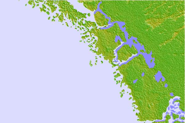

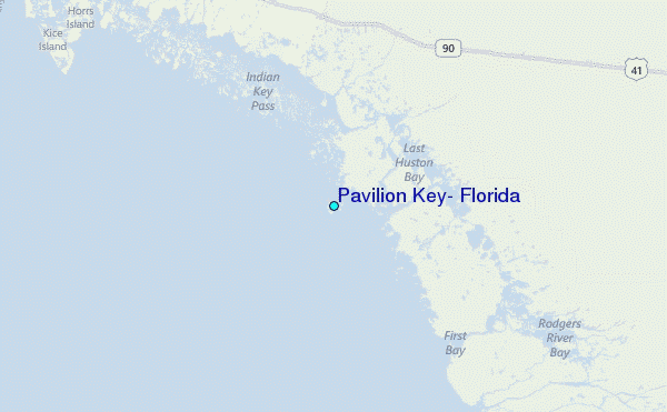
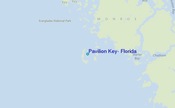
Use this relief map to navigate to tide stations, surf breaks and cities that are in the area of Pavilion Key, Florida.
Other Nearby Locations' tide tables and tide charts to Pavilion Key, Florida:
click location name for more details
 Surf breaks close to Pavilion Key, Florida:
|
||
|---|---|---|
| Closest surf break | Naples Pier | 38 mi |
| Second closest surf break | Wiggins Pass | 50 mi |
| Third closest surf break | South Beach (Miami) | 76 mi |
| Fourth closest surf break | Fifth Street (Miami) | 76 mi |
| Fifth closest surf break | 21st Street (Miami) | 76 mi |


 Nearest
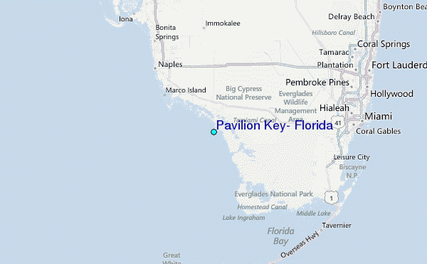