
| Distance / Altitude | Location | Report Date / Time | Live Weather | Wind | Gusts | Temp. | Visibility | Cloud |
|---|---|---|---|---|---|---|---|---|
| 11 km SSW / 3 m | BUOY-NIWS1 (Marine) | 2026-04-02 04:45 local (2026/04/02 08:45 GMT) | calm (4 km/h at 170) | 18°C | - | |||
| 23 km SSW / 12 m | Georgetown County Airport (South Carolina) (South Carolina) | 2026-04-02 04:35 local (2026/04/02 08:35 GMT) | Clear | calm (0 km/h at 0) | 15°C | 16 | ||
| 31 km NE / 3 m | BUOY-MROS1 (Marine) | 2026-04-02 05:18 local (2026/04/02 09:18 GMT) | - (0 km/h at -) | — | - | |||
| 32 km NE / 205 m | Myrtle Beach Airport (South Carolina) | 2026-04-02 03:53 local (2026/04/02 07:53 GMT) | Clear | light winds from the SSE (13 km/h at 160) | 17°C | 16 | ||
| 39 km SSW / 6 m | McClellanville (South Carolina) | 2026-04-02 05:30 local (2026/04/02 09:30 GMT) | dry | calm (0 km/h at 0) | 16°C | - | - - 0 | |
| 45 km N / 11 m | Conway - Horry County Airport (South Carolina) (South Carolina) | 2026-04-02 04:35 local (2026/04/02 08:35 GMT) | Clear | calm (0 km/h at 0) | 13°C | 16 | ||
| 57 km NE / 219 m | North Myrtle Bea Airport (South Carolina) | 2026-04-02 03:53 local (2026/04/02 07:53 GMT) | Clear | light winds from the S (11 km/h at 180) | 17°C | 16 | ||
| 74 km NE / 3 m | Sunset Beach Nearshore Buoy (Marine) | 2026-04-02 05:12 local (2026/04/02 09:12 GMT) | - (- km/h at -) | — | - | |||
| 74 km NE / 3 m | BUOY-41024 (Marine) | 2026-04-02 05:08 local (2026/04/02 09:08 GMT) | light winds from the SSE (7 km/h at 150) | 17°C | - | |||
| 75 km W / 21 m | Kingstree Williamsburg Regional Airport (South Carolina) (South Carolina) | 2026-04-02 04:35 local (2026/04/02 08:35 GMT) | Clear | calm (0 km/h at 0) | 14°C | 11 |
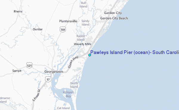
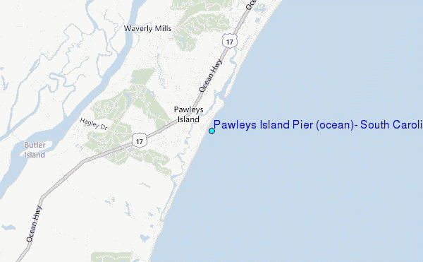
Choose Pawleys Island Pier (ocean), South Carolina Location Map Zoom:
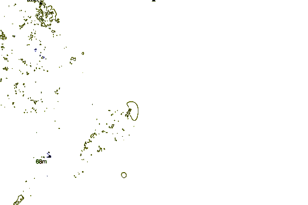
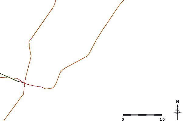
| Contours: | Roads & Rivers: | Select a
tide station / surf break / city |
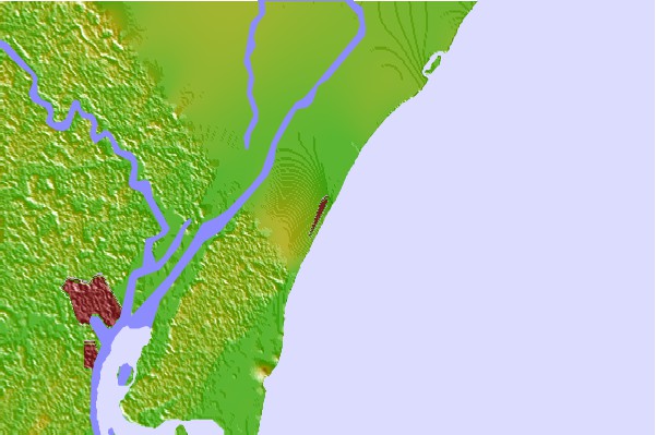
Use this relief map to navigate to tide stations, surf breaks and cities that are in the area of Pawleys Island Pier (ocean), South Carolina.
Other Nearby Locations' tide tables and tide charts to Pawleys Island Pier (ocean), South Carolina:
click location name for more details
 Surf breaks close to Pawleys Island Pier (ocean), South Carolina:
|
||
|---|---|---|
| Closest surf break | The Pier | 6 mi |
| Second closest surf break | Pelican Poles | 6 mi |
| Third closest surf break | South End | 8 mi |
| Fourth closest surf break | Murrells Inlet | 9 mi |
| Fifth closest surf break | Garden City Pier | 12 mi |


 Nearest
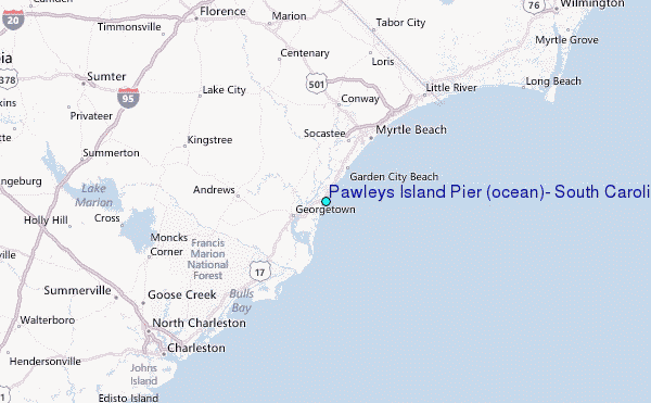