
| Distance / Altitude | Location | Report Date / Time | Live Weather | Wind | Gusts | Temp. | Visibility | Cloud |
|---|---|---|---|---|---|---|---|---|
| 26 km WSW / 10 m | Playa Punta Salinas (Dominican Republic) | 2024-04-26 11:00 local (2024/04/26 15:00 GMT) | - | strong winds from the ENE (50 km/h at 77) | 31°C | - | - - 0 | |
| 44 km ENE / 50 m | Bella Vista wx (Dominican Republic) | 2024-04-26 11:25 local (2024/04/26 15:25 GMT) | dry | calm (2 km/h at 72) | 29°C | - | - - 0 | |
| 48 km ENE / 14 m | SantoDomingo(78486 -0) (Dominican Republic) | 2024-04-26 11:00 local (2024/04/26 15:00 GMT) | - | light winds from the ENE (7 km/h at 70) | 30°C | 36 km | mostly cloudy | |
| 49 km NE / 30 m | La Isabela International Airport (Dominican republic) | 2024-04-26 10:00 local (2024/04/26 14:00 GMT) | Dry and partly cloudy | light winds from the NNE (9 km/h at 30) | 25°C | 10.0 | scattered broken | |
| 56 km ENE / 41 m | Ensanche Savica de Mendoza wx (Dominican Republic) | 2024-04-26 11:41 local (2024/04/26 15:41 GMT) | dry | light winds from the NNE (6 km/h at 27) | 30°C | - | - - 0 |
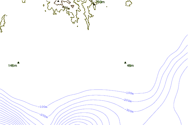
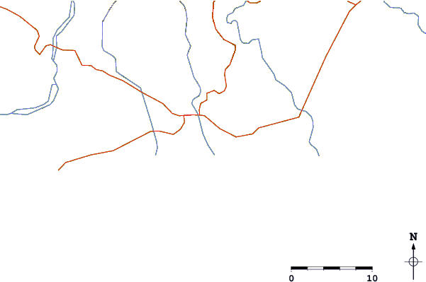
| Contours: | Roads & Rivers: | Select a
tide station / surf break / city |
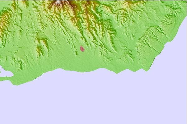
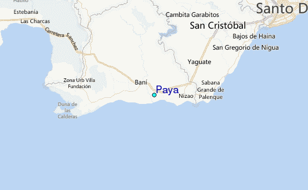
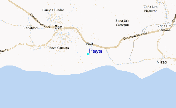
Use this relief map to navigate to tide stations, surf breaks and cities that are in the area of Paya.
Other Nearby Locations' tide tables and tide charts to Paya:
click location name for more details
 Surf breaks close to Paya:
|
||
|---|---|---|
| Closest surf break | Los Patos | 4 mi |
| Second closest surf break | Najayo | 11 mi |
| Third closest surf break | Red Beach | 19 mi |
| Fourth closest surf break | El Chinchorro (Red Beach) | 22 mi |
| Fifth closest surf break | Guibia | 27 mi |

 Nearest
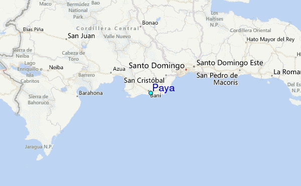