
| Distance / Altitude | Location | Report Date / Time | Live Weather | Wind | Gusts | Temp. | Visibility | Cloud |
|---|---|---|---|---|---|---|---|---|
| 4 km W / 26 m | West Peabody wx (United States) | 2025-12-25 02:49 local (2025/12/25 07:49 GMT) | - | calm (0 km/h at 274) | -4°C | - | - - 0 | |
| 4 km ENE / 7 m | Salem Neck wx (United States) | 2025-12-25 03:05 local (2025/12/25 08:05 GMT) | - | calm (5 km/h at 270) | -2°C | - | - - 0 | |
| 6 km N / 218 m | Beverly Airport (Massachusetts) | 2025-12-25 01:53 local (2025/12/25 06:53 GMT) | Clear | light winds from the W (6 km/h at 280) | -4°C | 16 | ||
| 7 km SSE / 25 m | Swampscott (Massachusetts) | 2025-12-25 03:37 local (2025/12/25 08:37 GMT) | - | light winds from the SSW (11 km/h at 205) | -1°C | - | - - 0 | |
| 8 km ENE / 15 m | Beverly (Massachusetts) | 2025-12-25 03:27 local (2025/12/25 08:27 GMT) | - | calm (2 km/h at 203) | -3°C | - | - - 0 | |
| 8 km ENE / 25 m | Beverly (Massachusetts) | 2025-12-25 03:04 local (2025/12/25 08:04 GMT) | - | calm (0 km/h at 286) | -4°C | - | - - 0 | |
| 8 km S / 12 m | Raddin Station wx (United States) | 2025-12-25 02:48 local (2025/12/25 07:48 GMT) | - | calm (5 km/h at 201) | -3°C | - | - - 0 | |
| 8 km SSW / 34 m | Merrimac Terrace wx (United States) | 2025-12-25 03:39 local (2025/12/25 08:39 GMT) | - | calm (0 km/h at 281) | -4°C | - | - - 0 | |
| 12 km WNW / 25 m | Middleton wx (United States) | 2025-12-25 03:23 local (2025/12/25 08:23 GMT) | - | calm (0 km/h at 0) | -5°C | - | - - 0 | |
| 13 km WSW / 25 m | Reading (Massachusetts) | 2025-12-25 02:49 local (2025/12/25 07:49 GMT) | - | calm (0 km/h at 336) | -4°C | - | - - 0 |
| Contours: | Roads & Rivers: | Select a
tide station / surf break / city |
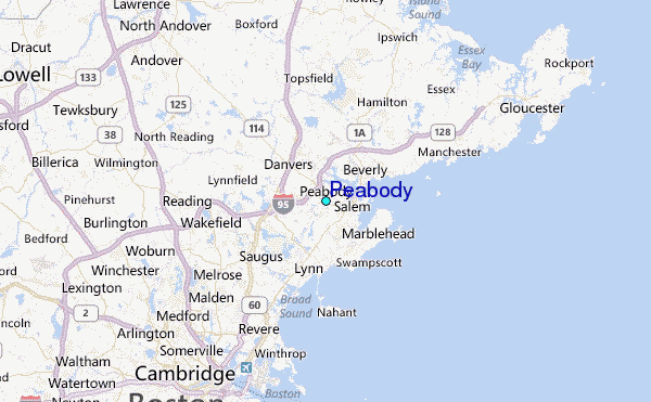
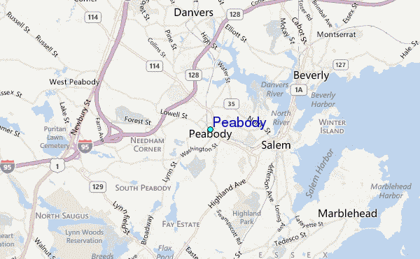
Use this relief map to navigate to tide stations, surf breaks and cities that are in the area of Peabody.
Other Nearby Locations' tide tables and tide charts to Peabody:
click location name for more details
 Surf breaks close to Peabody:
|
||
|---|---|---|
| Closest surf break | Prestons | 4 mi |
| Second closest surf break | Lynne Beach | 4 mi |
| Third closest surf break | Deveraux Beach | 6 mi |
| Fourth closest surf break | Nahant Beach | 8 mi |
| Fifth closest surf break | Winthrop Jetty | 12 mi |


 Nearest
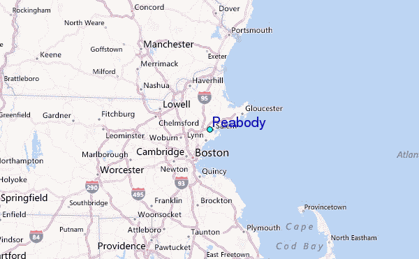