
| Distance / Altitude | Location | Report Date / Time | Live Weather | Wind | Gusts | Temp. | Visibility | Cloud |
|---|---|---|---|---|---|---|---|---|
| 2 km WSW / 3 m | BUOY-PRHH1 (Marine) | 2026-07-06 14:18 local (2026/07/07 00:18 GMT) | fresh winds from the N (30 km/h at 10) | — | - | |||
| 4 km S / 218 m | Honolulu Airport (Hawaii) | 2026-07-06 12:53 local (2026/07/06 22:53 GMT) | - | moderate winds from the NE (20 km/h at 50) | 30°C | 16 | few few scattered | |
| 6 km NW / 132 m | Pacific Palisades wx (United States) | 2026-07-06 14:16 local (2026/07/07 00:16 GMT) | dry | light winds from the NE (14 km/h at 56) | 28°C | - | - - 0 | |
| 8 km S / 3 m | Pearl Harbor Entrance- HI (Marine) | 2026-07-06 14:00 local (2026/07/07 00:00 GMT) | - (- km/h at -) | 27°C | - | |||
| 11 km SE / 3 m | BUOY-OOUH1 (Marine) | 2026-07-06 14:18 local (2026/07/07 00:18 GMT) | light winds from the ENE (18 km/h at 70) | — | - | |||
| 14 km SW / 218 m | Kalaeloa Airport (Hawaii) | 2026-07-06 12:53 local (2026/07/06 22:53 GMT) | - | light winds from the NE (17 km/h at 50) | 30°C | 16 | few | |
| 14 km WNW / 717 m | Wheeler Air Force Base/oahu Airport (Hawaii) | 2026-07-06 13:55 local (2026/07/06 23:55 GMT) | Dry and partly cloudy | moderate winds from the ENE (28 km/h at 60) | 27°C | 16 | few broken | |
| 14 km ENE / 3 m | BUOY-HRRH1 (Marine) | 2026-07-06 13:30 local (2026/07/06 23:30 GMT) | light winds from the NNE (11 km/h at 20) | 27°C | - | |||
| 16 km ESE / 15 m | SHIP7655 (Marine) | 2026-07-06 12:00 local (2026/07/06 22:00 GMT) | - (- km/h at -) | — | - km | |||
| 16 km ESE / 15 m | SHIP4470 (Marine) | 2026-07-06 12:00 local (2026/07/06 22:00 GMT) | - (- km/h at -) | — | - km |
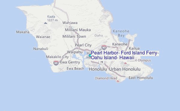
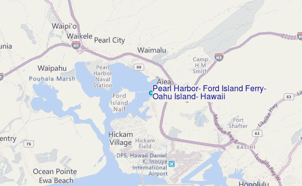
Choose Pearl Harbor, Ford Island Ferry, Oahu Island, Hawaii Location Map Zoom:
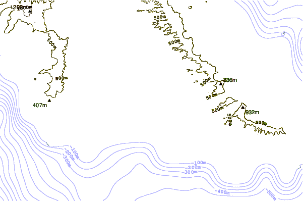
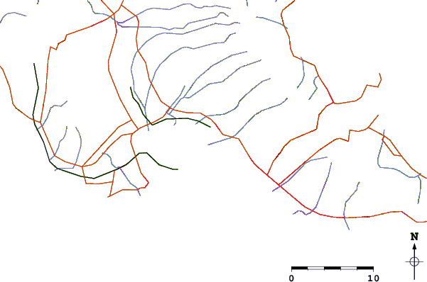
| Contours: | Roads & Rivers: | Select a
tide station / surf break / city |
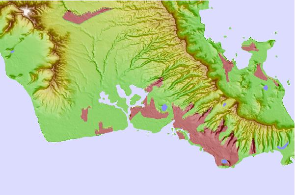
Use this relief map to navigate to tide stations, surf breaks and cities that are in the area of Pearl Harbor, Ford Island Ferry, Oahu Island, Hawaii.
Other Nearby Locations' tide tables and tide charts to Pearl Harbor, Ford Island Ferry, Oahu Island, Hawaii:
click location name for more details
 Surf breaks close to Pearl Harbor, Ford Island Ferry, Oahu Island, Hawaii:
|
||
|---|---|---|
| Closest surf break | Reef Runway (Hickam Harbor) | 4 mi |
| Second closest surf break | Ewa Beach Park | 5 mi |
| Third closest surf break | Abalolo Reef | 6 mi |
| Fourth closest surf break | Empty Lots | 6 mi |
| Fifth closest surf break | Duds Reef | 6 mi |


 Nearest
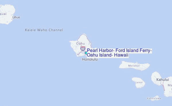