
| Distance / Altitude | Location | Report Date / Time | Live Weather | Wind | Gusts | Temp. | Visibility | Cloud |
|---|---|---|---|---|---|---|---|---|
| 133 km S / 190 m | Manta/Eloy Alfaro International Airport (Ecuador) | 2024-04-26 01:00 local (2024/04/26 06:00 GMT) | Dry and partly cloudy | calm (4 km/h at 220) | 24°C | 10.0 | few scattered - | |
| 180 km ESE / 3200 m | Latacunga (Ecuador) | 2024-04-26 01:54 local (2024/04/26 06:54 GMT) | dry | calm (0 km/h at 330) | 10°C | - | - - 0 | |
| 191 km E / 2400 m | Quito New International Airport (Ecuador) | 2024-04-26 01:00 local (2024/04/26 06:00 GMT) | Fog patches - | light winds from the ESE (9 km/h at 120) | 13°C | 10.0 | few broken | |
| 246 km S / 211 m | Guayaquil/José Joaquín de Olmedo International Airport (Ecuador) | 2024-04-26 01:00 local (2024/04/26 06:00 GMT) | Dry and partly cloudy | light winds from the SSW (7 km/h at 210) | 26°C | 10.0 | few scattered | |
| 371 km S / 12 m | Puerto Pito wx (Ecuador) | 2024-04-26 02:00 local (2024/04/26 07:00 GMT) | dry | calm (2 km/h at 192) | 24°C | - | - - 0 |
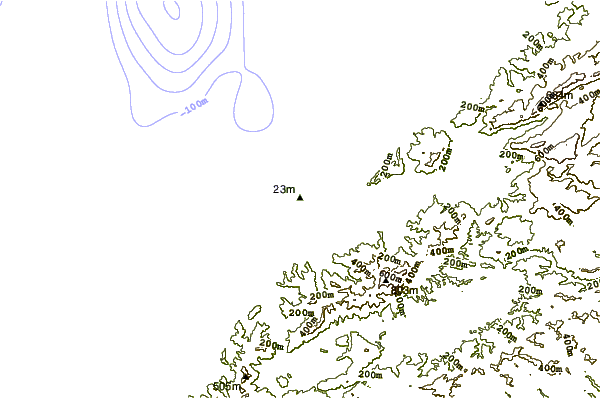
| Contours: | Roads & Rivers: | Select a
tide station / surf break / city |
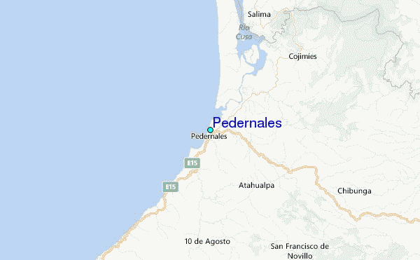
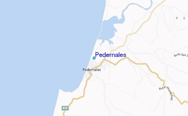
Use this relief map to navigate to tide stations, surf breaks and cities that are in the area of Pedernales.
Other Nearby Locations' tide tables and tide charts to Pedernales:
click location name for more details
 Surf breaks close to Pedernales:
|
||
|---|---|---|
| Closest surf break | Perdernales | 4 mi |
| Second closest surf break | Bocana del Cojimies | 18 mi |
| Third closest surf break | Punta Ballena | 27 mi |
| Fourth closest surf break | Portete | 27 mi |
| Fifth closest surf break | Punta Suspiro | 29 mi |

 Nearest
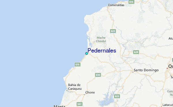