
| Distance / Altitude | Location | Report Date / Time | Live Weather | Wind | Gusts | Temp. | Visibility | Cloud |
|---|---|---|---|---|---|---|---|---|
| 155 km WSW / 0 m | lightning 156km S of Kupang (Indonesia) | 2025-12-25 13:33 local (2025/12/25 05:33 GMT) | Thunderstorm | (- km/h at -) | — | |||
| 219 km WNW / 108 m | KupangEltari (Indonesia) | 2025-12-25 15:30 local (2025/12/25 07:30 GMT) | Dry and partly cloudy | light winds from the NNW (11 km/h at 330) | 30°C | 10.0 | broken mostly cloudy - | |
| 262 km SSE / 415 m | Troughton Island (Australia) | 2025-12-25 16:00 local (2025/12/25 08:00 GMT) | no report | light winds from the SW (15 km/h at 220) | 26°C | - | - no observation - | |
| 291 km ESE / 15 m | SHIP4527 (Marine) | 2025-12-25 14:00 local (2025/12/25 06:00 GMT) | fresh winds from the NW (37.080000000000005 km/h at 320) | 32°C | 17.7 km | |||
| 308 km SSE / 52 m | Truscott (Australia) | 2025-12-25 15:00 local (2025/12/25 07:00 GMT) | Clear skies | light winds from the W (19 km/h at 280) | 32°C | - | - no observation - | |
| 291 km ESE / 15 m | SHIP9130 (Marine) | 2025-12-25 14:00 local (2025/12/25 06:00 GMT) | fresh winds from the NW (37.080000000000005 km/h at 320) | 32°C | 17.7 km | |||
| 307 km SSE / 52 m | Truscott (Australia) | 2025-12-25 15:00 local (2025/12/25 07:00 GMT) | Clear skies | light winds from the W (19 km/h at 280) | 32°C | - | - no observation - | |
| 341 km SE / 155 m | Kalumburu (Australia) | 2025-12-25 15:00 local (2025/12/25 07:00 GMT) | Rain | calm (4 km/h at 220) | 27°C | - | - no observation - | |
| 355 km S / 0 m | lightning (Australia) | 2025-12-25 14:16 local (2025/12/25 06:16 GMT) | Thunderstorm | (- km/h at -) | — | |||
| 448 km WNW / 3 m | MaumereWaiOti (Indonesia) | 2025-12-25 14:00 local (2025/12/25 06:00 GMT) | - | wind obs. (7 kph from 350 degs) was rejected (- km/h at -) | 31°C | 30 km | - mostly cloudy - |
| Contours: | Roads & Rivers: | Select a
tide station / surf break / city |


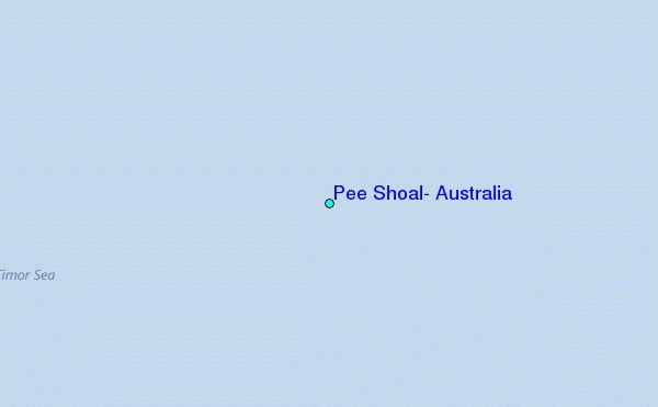
Use this relief map to navigate to tide stations, surf breaks and cities that are in the area of Pee Shoal, Australia.
Other Nearby Locations' tide tables and tide charts to Pee Shoal, Australia:
click location name for more details
 Surf breaks close to Pee Shoal, Australia:
|
||
|---|---|---|
| Closest surf break | Nembrala | 116 mi |
| Second closest surf break | Boa | 146 mi |
| Third closest surf break | Ndana | 146 mi |
| Fourth closest surf break | Peanuts | 148 mi |
| Fifth closest surf break | T-Land | 149 mi |


 Nearest