
| Distance / Altitude | Location | Report Date / Time | Live Weather | Wind | Gusts | Temp. | Visibility | Cloud |
|---|---|---|---|---|---|---|---|---|
| 21 km NE / 218 m | Kuala Lumpur/sub Airport (Malaysia) | 2026-05-18 17:30 local (2026/05/18 09:30 GMT) | - | wind obs. (6 kph from 1 degs) was rejected (- km/h at -) | 32°C | 10.0 | few | |
| 23 km NE / 22 m | Sultan Abdul Aziz Shah Airport (Malaysia) | 2026-05-18 17:00 local (2026/05/18 09:00 GMT) | Haze | wind obs. (9 kph from 250 degs) was rejected (- km/h at -) | 35°C | 31 km | - mostly cloudy - | |
| 24 km NE / 217 m | Kuala Lumpur Sultan Abdul Aziz Shah Airport (Malaysia) | 2026-05-18 17:00 local (2026/05/18 09:00 GMT) | - | light winds from the WSW.(Wind varies from 170 to 300 degs) (9 km/h at 250) | 35°C | 10.0 | few | |
| 47 km SE / 17 m | Kuala Lumpur International Airport (Klia) (Malaysia) | 2026-05-18 17:00 local (2026/05/18 09:00 GMT) | Haze | wind obs. (6 kph from 190 degs) was rejected (- km/h at -) | 32°C | 30 km | - mostly cloudy - | |
| 126 km SE / 129 m | Malacca (Malaysia) | 2026-05-18 17:00 local (2026/05/18 09:00 GMT) | haze | wind obs. (7 kph from 190 degs) was rejected (- km/h at -) | 31°C | 10.0 | few - - | |
| 154 km NW / 129 m | Sitiawan Airport (Malaysia) | 2026-05-18 17:00 local (2026/05/18 09:00 GMT) | distant precipitation but not falling at station | light winds from the WNW (7 km/h at 290) | 31°C | 12 | - | |
| 155 km NW / 217 m | Sitiawan (Malaysia) | 2026-05-18 17:00 local (2026/05/18 09:00 GMT) | - | light winds from the NW.(Wind varies from 260 to 350 degs) (15 km/h at 310) | 32°C | 10.0 | few | |
| 176 km N / 216 m | Ipoh Airport (Malaysia) | 2026-05-18 17:00 local (2026/05/18 09:00 GMT) | Dry and partly cloudy | wind obs. (9 kph from 220 degs) was rejected (- km/h at -) | 34°C | 10.0 | scattered | |
| 221 km ENE / 16 m | Kuantan Air Force Base (Malaysia) | 2026-05-18 17:00 local (2026/05/18 09:00 GMT) | distant precipitation but not falling at station | wind obs. (7 kph from 200 degs) was rejected (- km/h at -) | 31°C | 16 | - | |
| 221 km ENE / 217 m | Kuantan Air Force Base Airport (Malaysia) | 2026-05-18 17:00 local (2026/05/18 09:00 GMT) | - | wind obs. (11 kph from 100 degs) was rejected (- km/h at -) | 31°C | 10.0 | few |
| Contours: | Roads & Rivers: | Select a
tide station / surf break / city |
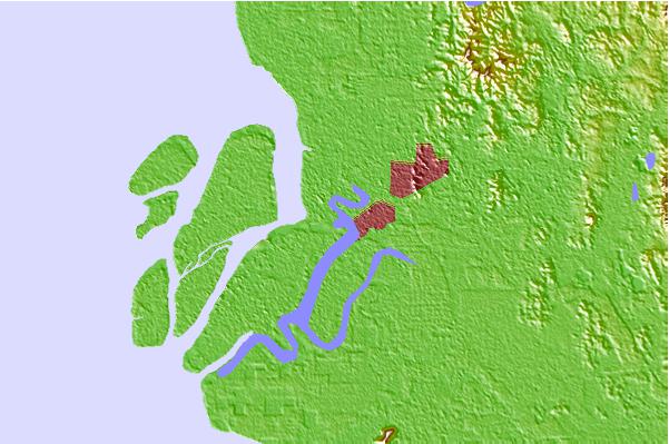
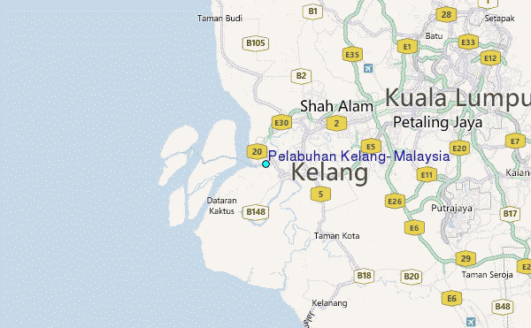
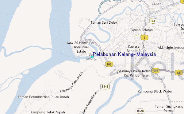
Use this relief map to navigate to tide stations, surf breaks and cities that are in the area of Pelabuhan Kelang, Malaysia.
Other Nearby Locations' tide tables and tide charts to Pelabuhan Kelang, Malaysia:
click location name for more details
 Surf breaks close to Pelabuhan Kelang, Malaysia:
|
||
|---|---|---|
| Closest surf break | Cherating | 159 mi |
| Second closest surf break | Kijal | 172 mi |
| Third closest surf break | Tioman Island | 196 mi |
| Fourth closest surf break | Kelulut (Marang) | 197 mi |
| Fifth closest surf break | Batu Buruk | 202 mi |


 Nearest
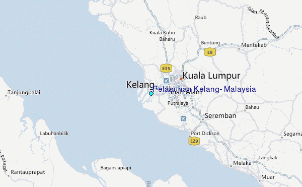