
| Distance / Altitude | Location | Report Date / Time | Live Weather | Wind | Gusts | Temp. | Visibility | Cloud |
|---|---|---|---|---|---|---|---|---|
| 43 km E / 481 m | Genteng wx (Indonesia) | 2025-12-24 19:14 local (2025/12/24 12:14 GMT) | - | calm (0 km/h at 0) | 33°C | - | - - 0 | |
| 50 km NE / 264 m | Babakanasem wx (Indonesia) | 2025-12-24 19:01 local (2025/12/24 12:01 GMT) | - | calm (0 km/h at 0) | 30°C | - | - - 0 | |
| 55 km NNE / 185 m | Ceheuleut wx (Indonesia) | 2025-12-24 16:29 local (2025/12/24 09:29 GMT) | - | calm (0 km/h at 0) | 33°C | - | - - 0 | |
| 70 km NNE / 64 m | Mampang-agung wx (Indonesia) | 2025-12-24 18:21 local (2025/12/24 11:21 GMT) | - | calm (0 km/h at 0) | 36°C | - | - - 0 | |
| 85 km NNE / 15 m | Pisangan Timur wx (Indonesia) | 2025-12-24 19:02 local (2025/12/24 12:02 GMT) | dry | calm (0 km/h at ) | 29°C | - | - - 0 | |
| 89 km NNE / 25 m | Halim Perdanakus Airport (Indonesia) | 2025-12-24 18:30 local (2025/12/24 11:30 GMT) | - | light winds from the WNW (9 km/h at 290) | 30°C | 8.0 | few | |
| 96 km N / 11 m | Pinggirrawa Barat wx (Indonesia) | 2025-12-24 18:03 local (2025/12/24 11:03 GMT) | - | calm (0 km/h at 0) | 34°C | - | - - 0 | |
| 97 km N / 176 m | Soekarno-Hatta International Airport (Indonesia) | 2025-12-24 18:30 local (2025/12/24 11:30 GMT) | - | light winds from the WNW (7 km/h at 300) | 29°C | 28 km | few scattered - | |
| 111 km E / 820 m | Kalidam wx (Indonesia) | 2025-12-24 18:07 local (2025/12/24 11:07 GMT) | - | calm (0 km/h at 0) | — | - | - - 0 | |
| 114 km E / 796 m | Srigunting wx (Indonesia) | 2025-12-24 19:03 local (2025/12/24 12:03 GMT) | - | calm (5 km/h at 168) | 23°C | - | - - 0 |
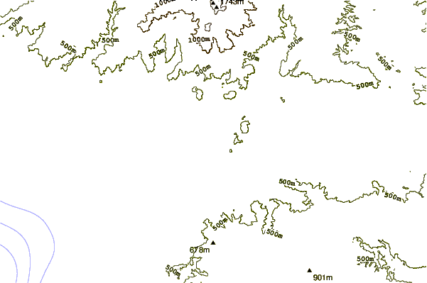
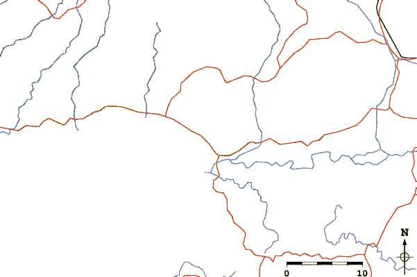
| Contours: | Roads & Rivers: | Select a
tide station / surf break / city |
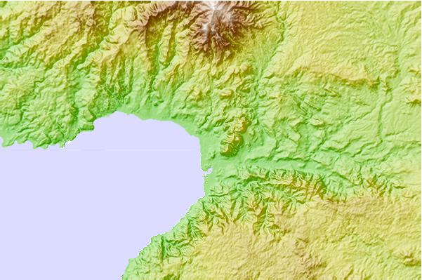
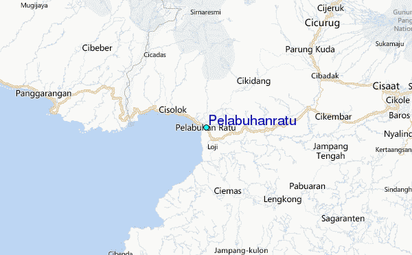
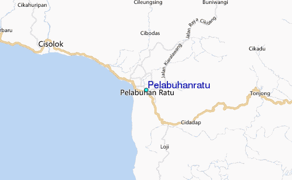
Use this relief map to navigate to tide stations, surf breaks and cities that are in the area of Pelabuhanratu.
Other Nearby Locations' tide tables and tide charts to Pelabuhanratu:
click location name for more details
 Surf breaks close to Pelabuhanratu:
|
||
|---|---|---|
| Closest surf break | Samudra | 1 mi |
| Second closest surf break | Loji | 3 mi |
| Third closest surf break | Cimaja | 4 mi |
| Fourth closest surf break | Indicators point | 5 mi |
| Fifth closest surf break | Karang Haji - Ocean Queen Hotel | 7 mi |


 Nearest
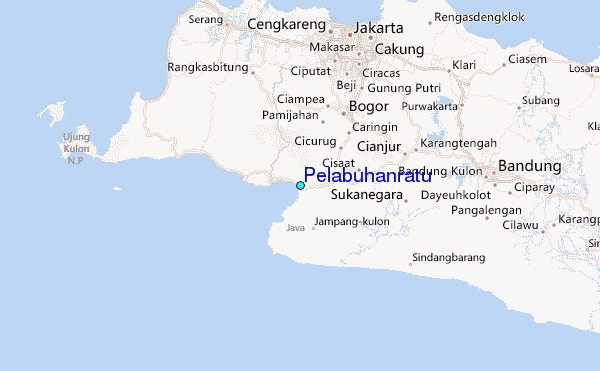