
| Distance / Altitude | Location | Report Date / Time | Live Weather | Wind | Gusts | Temp. | Visibility | Cloud |
|---|---|---|---|---|---|---|---|---|
| 149 km ENE / 15 m | Kampong Sungai Tengah wx (Malaysia) | 2026-02-20 07:20 local (2026/02/20 00:20 GMT) | - | - (- km/h at ) | — | - | - - 0 | |
| 153 km SSE / 77 m | Pontianak/Supadio Airport (Indonesia) | 2026-02-20 07:30 local (2026/02/20 00:30 GMT) | Mist | calm (0 km/h at 0) | 24°C | 5.0 km | scattered mostly cloudy - | |
| 154 km ENE / 218 m | Kuching Airport (Malaysia) | 2026-02-20 07:30 local (2026/02/20 00:30 GMT) | Dry and partly cloudy | calm (2 km/h at 1) | 24°C | 10.0 | few scattered | |
| 156 km ENE / 27 m | Kuching (Malaysia) | 2026-02-20 07:00 local (2026/02/20 00:00 GMT) | Continuous light rain | calm (4 km/h at 230) | 24°C | 35 km | mostly cloudy | |
| 157 km NE / 0 m | lightning 89km NNW of Kuching (Malaysia) | 2026-02-20 07:49 local (2026/02/20 00:49 GMT) | Thunderstorm | (- km/h at -) | — | |||
| 166 km E / 34 m | Kampong Kangka wx (Malaysia) | 2026-02-20 08:18 local (2026/02/20 01:18 GMT) | - | - (- km/h at ) | 27°C | - | - - 0 | |
| 275 km E / 214 m | Simanggang Airport (Malaysia) | 2026-02-20 07:00 local (2026/02/20 00:00 GMT) | - | calm (0 km/h at 0) | 24°C | |||
| 310 km NW / 2 m | Ranai (Indonesia) | 2026-02-20 07:00 local (2026/02/20 00:00 GMT) | Rain | moderate winds from the NNE (28 km/h at 20) | 26°C | 27 km | overcast | |
| 342 km ENE / 215 m | Sibu Airport (Malaysia) | 2026-02-20 07:00 local (2026/02/20 00:00 GMT) | Dry and partly cloudy | wind obs. (6 kph from 130 degs) was rejected (- km/h at -) | 25°C | 10.0 | few scattered | |
| 344 km ENE / 130 m | Sibu Airport (Malaysia) | 2026-02-20 07:00 local (2026/02/20 00:00 GMT) | - | wind obs. (6 kph from 130 degs) was rejected (- km/h at -) | 25°C | 50 km | mostly cloudy |
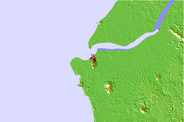
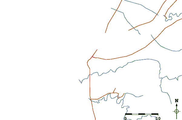
| Contours: | Roads & Rivers: | Select a
tide station / surf break / city |
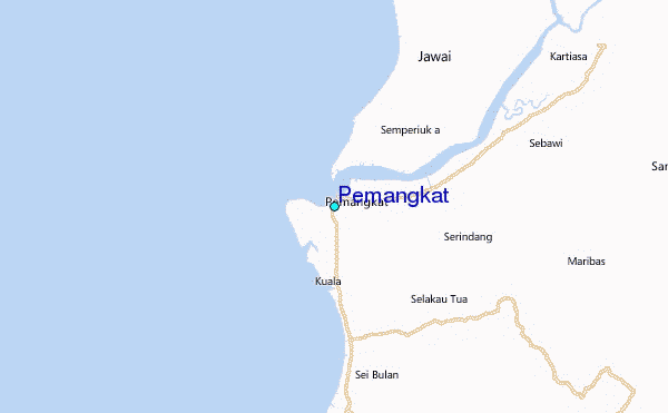
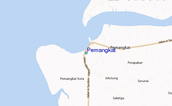
Use this relief map to navigate to tide stations, surf breaks and cities that are in the area of Pemangkat.
Other Nearby Locations' tide tables and tide charts to Pemangkat:
click location name for more details
 Surf breaks close to Pemangkat:
|
||
|---|---|---|
| Closest surf break | Tioman Island | 347 mi |
| Second closest surf break | Cherating | 436 mi |
| Third closest surf break | Kijal | 438 mi |
| Fourth closest surf break | Kelulut (Marang) | 483 mi |
| Fifth closest surf break | Tungku Beach or KM26 | 485 mi |


 Nearest
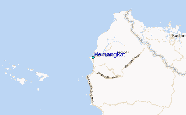