
| Distance / Altitude | Location | Report Date / Time | Live Weather | Wind | Gusts | Temp. | Visibility | Cloud |
|---|---|---|---|---|---|---|---|---|
| 8 km SW / 1 m | Penrhyn Automatic Weather Station (Cook Islands) | 2026-06-17 14:00 local (2026/06/18 00:00 GMT) | no report | moderate winds from the E (28 km/h at 80) | 29°C | - | - | |
| 360 km SW / 5 m | Rakahanga Atoll Airport (Samoa/polynesia) | 2026-06-17 14:00 local (2026/06/18 00:00 GMT) | - | light winds from the ENE (9 km/h at 60) | 31°C | |||
| 365 km SW / 0 m | Manihiki Island Airport (Samoa/polynesia) | 2026-06-17 14:00 local (2026/06/18 00:00 GMT) | - | light winds from the SSE (9 km/h at 150) | 31°C | |||
| 368 km SW / 2 m | Manihiki (Cook Islands) | 2026-06-17 14:00 local (2026/06/18 00:00 GMT) | no report | wind obs. (9 kph from 120 degs) was rejected (- km/h at -) | 27°C | - | - - - | |
| 862 km SW / 9 m | Nassau Airport (Cook Islands) | 2026-06-17 14:00 local (2026/06/18 00:00 GMT) | - | light winds from the E (13 km/h at 90) | 30°C | |||
| 886 km SW / 7 m | Pukapuka IS (Samoa) | 2026-06-17 14:00 local (2026/06/18 00:00 GMT) | - | calm (4 km/h at 110) | 31°C | |||
| 1065 km SE / 3 m | Bora-bora/motu-m (Samoa/polynesia) | 2026-06-17 14:30 local (2026/06/18 00:30 GMT) | - | moderate winds from the E (28 km/h at 100) | 28°C | 10.0 | few | |
| 1066 km SE / 3 m | Bora Bora (French Polynesia) | 2026-06-17 14:00 local (2026/06/18 00:00 GMT) | no report | light winds from the E (14 km/h at 100) | 25°C | 45 | - - - | |
| 1104 km S / 98 m | Aitutaki Automatic Weather Station (Cook Islands) | 2026-06-17 14:00 local (2026/06/18 00:00 GMT) | no report | light winds from the E (17 km/h at 90) | 25°C | - | - no observation - | |
| 1201 km S / 8 m | Mitiaro/Nukuroa Airport (Samoa) | 2026-06-17 14:00 local (2026/06/18 00:00 GMT) | - | light winds from the NE (17 km/h at 50) | 27°C |
| Contours: | Roads & Rivers: | Select a
tide station / surf break / city |

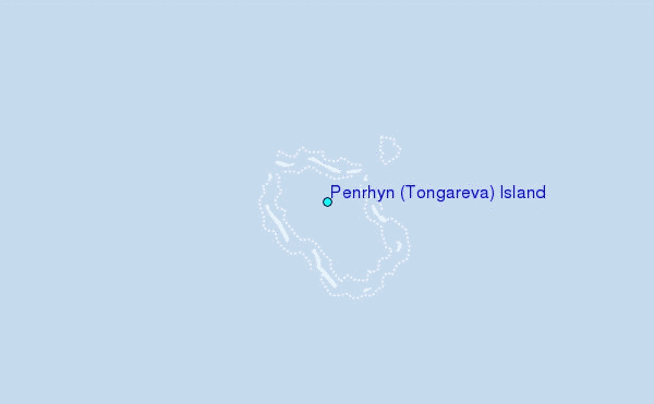
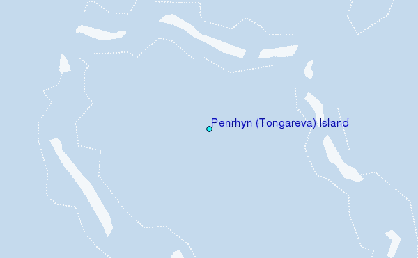
Use this relief map to navigate to tide stations, surf breaks and cities that are in the area of Penrhyn (Tongareva) Island.
Other Nearby Locations' tide tables and tide charts to Penrhyn (Tongareva) Island:
click location name for more details
 Surf breaks close to Penrhyn (Tongareva) Island:
|
||
|---|---|---|
| Closest surf break | Pai-Pai | 685 mi |
| Second closest surf break | Miri-Miri | 692 mi |
| Third closest surf break | Teavapiti | 694 mi |
| Fourth closest surf break | Turui | 695 mi |
| Fifth closest surf break | Vaiaau | 697 mi |


 Nearest