
| Distance / Altitude | Location | Report Date / Time | Live Weather | Wind | Gusts | Temp. | Visibility | Cloud |
|---|---|---|---|---|---|---|---|---|
| 9 km N / 217 m | Butterworth Airport (Malaysia) | 2026-06-01 00:00 local (2026/05/31 16:00 GMT) | - | light winds from the N (9 km/h at 10) | 29°C | 10.0 | few | |
| 16 km SSW / 4 m | Penang/Bayan Lepas Airport (Malaysia) | 2026-06-01 00:00 local (2026/05/31 16:00 GMT) | haze | wind obs. (9 kph from 270 degs) was rejected (- km/h at -) | 32°C | 10 | - | |
| 17 km SSW / 218 m | Penang International Airport/Bayan Lepas (Malaysia) | 2026-06-01 00:30 local (2026/05/31 16:30 GMT) | Thunderstorm - | wind obs. (6 kph from 30 degs) was rejected (- km/h at -) | 29°C | 9.0 | few scattered - | |
| 90 km N / 5 m | Sultan Abdul Halim Airport (Malaysia) | 2026-06-01 00:30 local (2026/05/31 16:30 GMT) | haze | calm (0 km/h at 0) | 28°C | 10.0 | few - - | |
| 119 km SE / 216 m | Ipoh Airport (Malaysia) | 2026-06-01 00:00 local (2026/05/31 16:00 GMT) | - | calm (2 km/h at 1) | 28°C | 8.0 | few | |
| 122 km N / 22 m | Chuping (Malaysia) | 2026-06-01 00:00 local (2026/05/31 16:00 GMT) | haze | light winds from the W (11 km/h at 270) | 31°C | 15 | - | |
| 127 km WNW / 217 m | Langkawi International Airport (Malaysia) | 2026-06-01 00:00 local (2026/05/31 16:00 GMT) | Light rain | wind obs. (7 kph from 1 degs) was rejected (- km/h at -) | 30°C | 10.0 | few scattered scattered | |
| 134 km SSE / 129 m | Sitiawan Airport (Malaysia) | 2026-06-01 00:00 local (2026/05/31 16:00 GMT) | distant precipitation but not falling at station | wind obs. (7 kph from 290 degs) was rejected (- km/h at -) | 31°C | 12 | - | |
| 134 km SSE / 217 m | Sitiawan (Malaysia) | 2026-06-01 00:00 local (2026/05/31 16:00 GMT) | - | calm (0 km/h at 0) | 29°C | 9.0 | few | |
| 144 km NW / 6 m | Satun Thai Air Force Base (Thailand) | 2026-06-01 00:00 local (2026/05/31 16:00 GMT) | no report | wind obs. (9 kph from 290 degs) was rejected (- km/h at -) | 31°C | - | - - - |
| Contours: | Roads & Rivers: | Select a
tide station / surf break / city |
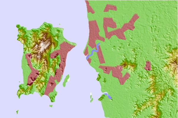
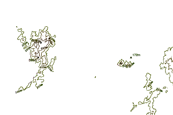
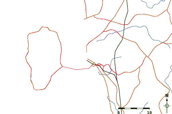
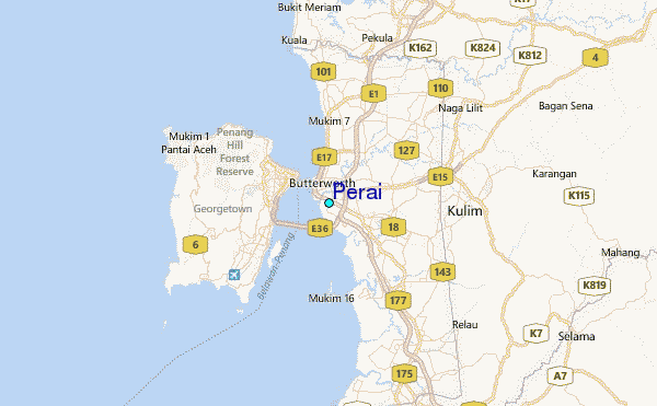
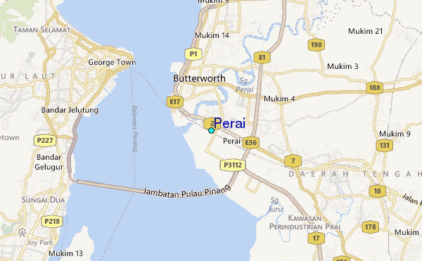
Use this relief map to navigate to tide stations, surf breaks and cities that are in the area of Perai.
Other Nearby Locations' tide tables and tide charts to Perai:
click location name for more details
 Surf breaks close to Perai:
|
||
|---|---|---|
| Closest surf break | Tengah Beach (Bank Negara) | 76 mi |
| Second closest surf break | Cenang Beach (The Cliff) | 77 mi |
| Third closest surf break | Songkhla - Fulerayem Point | 127 mi |
| Fourth closest surf break | Koh Lanta - Khlong Dao | 181 mi |
| Fifth closest surf break | Batu Buruk | 191 mi |


 Nearest
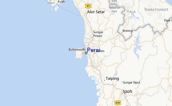