
| Distance / Altitude | Location | Report Date / Time | Live Weather | Wind | Gusts | Temp. | Visibility | Cloud |
|---|---|---|---|---|---|---|---|---|
| 2 km W / 217 m | Butterworth Airport (Malaysia) | 2025-12-24 17:00 local (2025/12/24 09:00 GMT) | - | light winds from the WNW.(Wind varies from 240 to 340 degs) (17 km/h at 290) | 30°C | 10.0 | few | |
| 22 km SSW / 4 m | Penang/Bayan Lepas Airport (Malaysia) | 2025-12-24 18:00 local (2025/12/24 10:00 GMT) | haze | light winds from the W (9 km/h at 270) | 32°C | 10 | - | |
| 24 km S / 218 m | Penang International Airport/Bayan Lepas (Malaysia) | 2025-12-24 17:30 local (2025/12/24 09:30 GMT) | Dry and partly cloudy | light winds from the N (6 km/h at 1) | 31°C | 10.0 | few scattered scattered | |
| 81 km N / 5 m | Sultan Abdul Halim Airport (Malaysia) | 2025-12-24 18:00 local (2025/12/24 10:00 GMT) | haze | light winds from the N (6 km/h at 1) | 33°C | 10.0 | few - - | |
| 114 km N / 22 m | Chuping (Malaysia) | 2025-12-24 18:00 local (2025/12/24 10:00 GMT) | haze | wind obs. (11 kph from 270 degs) was rejected (- km/h at -) | 31°C | 15 | - | |
| 120 km WNW / 217 m | Langkawi International Airport (Malaysia) | 2025-12-24 17:00 local (2025/12/24 09:00 GMT) | Dry and partly cloudy | light winds from the NNE.(Wind varies from 330 to 120 degs) (11 km/h at 30) | 32°C | 10.0 | few scattered scattered | |
| 126 km SE / 216 m | Ipoh Airport (Malaysia) | 2025-12-24 17:00 local (2025/12/24 09:00 GMT) | - | wind obs. (7 kph from 100 degs) was rejected (- km/h at -) | 29°C | 10.0 | few | |
| 136 km NW / 6 m | Satun Thai Air Force Base (Thailand) | 2025-12-24 18:00 local (2025/12/24 10:00 GMT) | no report | wind obs. (9 kph from 290 degs) was rejected (- km/h at -) | 31°C | - | - no observation - | |
| 142 km SSE / 217 m | Sitiawan (Malaysia) | 2025-12-24 17:00 local (2025/12/24 09:00 GMT) | - | light winds from the W.(Wind varies from 210 to 320 degs) (11 km/h at 260) | 32°C | 10.0 | few | |
| 143 km SSE / 129 m | Sitiawan Airport (Malaysia) | 2025-12-24 18:00 local (2025/12/24 10:00 GMT) | distant precipitation but not falling at station | wind obs. (7 kph from 290 degs) was rejected (- km/h at -) | 31°C | 12 | - |
| Contours: | Roads & Rivers: | Select a
tide station / surf break / city |
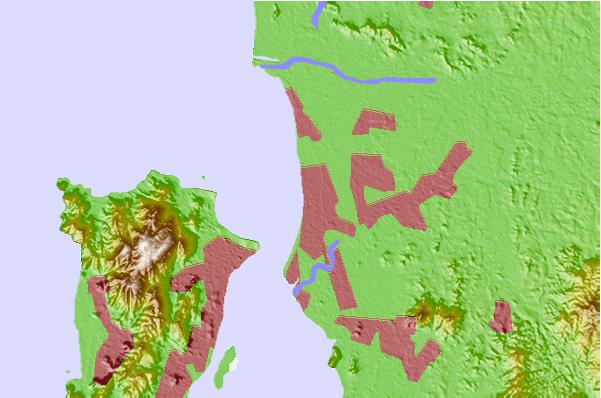
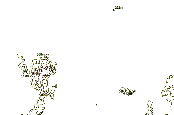
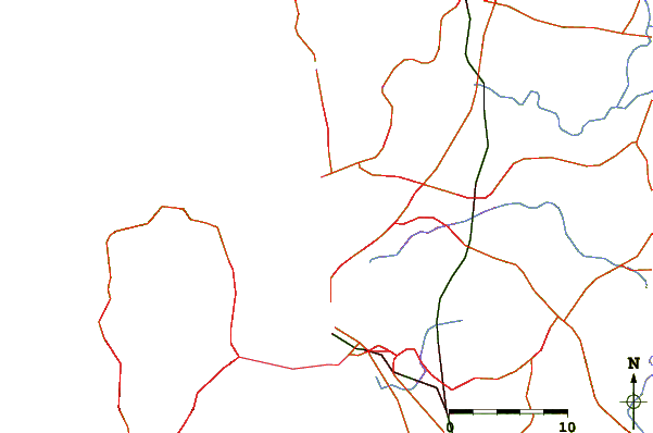
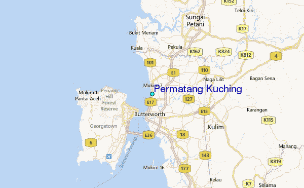
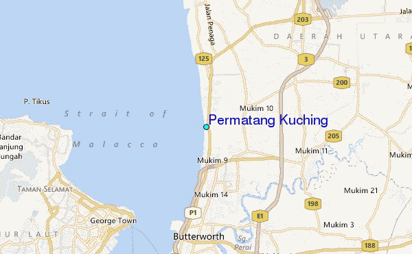
Use this relief map to navigate to tide stations, surf breaks and cities that are in the area of Permatang Kuching.
Other Nearby Locations' tide tables and tide charts to Permatang Kuching:
click location name for more details
 Surf breaks close to Permatang Kuching:
|
||
|---|---|---|
| Closest surf break | Tengah Beach (Bank Negara) | 72 mi |
| Second closest surf break | Cenang Beach (The Cliff) | 73 mi |
| Third closest surf break | Songkhla - Fulerayem Point | 122 mi |
| Fourth closest surf break | Koh Lanta - Khlong Dao | 177 mi |
| Fifth closest surf break | Batu Buruk | 191 mi |


 Nearest
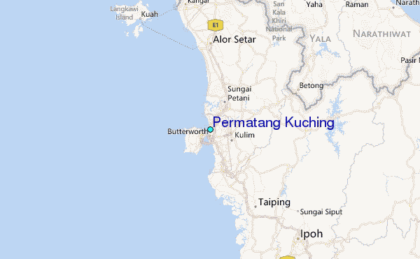