
| Distance / Altitude | Location | Report Date / Time | Live Weather | Wind | Gusts | Temp. | Visibility | Cloud |
|---|---|---|---|---|---|---|---|---|
| 0 km S / 219 m | Phan Thiet (Viet-nam) | 2026-06-16 07:00 local (2026/06/16 00:00 GMT) | - | light winds from the WNW (11 km/h at 290) | 27°C | 42 km | - mostly cloudy - | |
| 49 km SSE / 3 m | SHIP8274 (Marine) | 2026-06-16 06:00 local (2026/06/15 23:00 GMT) | - (- km/h at -) | — | - | |||
| 49 km SSE / 15 m | SHIP6727 (Marine) | 2026-06-16 06:00 local (2026/06/15 23:00 GMT) | - (- km/h at -) | — | - km | |||
| 49 km SSE / 3 m | SHIP4871 (Marine) | 2026-06-16 06:00 local (2026/06/15 23:00 GMT) | - (- km/h at -) | — | - | |||
| 49 km SSE / 15 m | SHIP7903 (Marine) | 2026-06-16 06:00 local (2026/06/15 23:00 GMT) | - (- km/h at -) | — | - km | |||
| 49 km SSE / 15 m | SHIP3953 (Marine) | 2026-06-16 06:00 local (2026/06/15 23:00 GMT) | - (- km/h at -) | — | - km | |||
| 49 km SSE / 15 m | SHIP3271 (Marine) | 2026-06-16 06:00 local (2026/06/15 23:00 GMT) | - (- km/h at -) | — | - km | |||
| 49 km SSE / 3 m | SHIP8359 (Marine) | 2026-06-16 06:00 local (2026/06/15 23:00 GMT) | - (- km/h at -) | — | - | |||
| 60 km S / 3 m | SHIP9092 (Marine) | 2026-06-16 07:00 local (2026/06/16 00:00 GMT) | - (- km/h at -) | — | - | |||
| 60 km S / 15 m | SHIP3198 (Marine) | 2026-06-16 07:00 local (2026/06/16 00:00 GMT) | - (- km/h at -) | — | - km |
| Contours: | Roads & Rivers: | Select a
tide station / surf break / city |
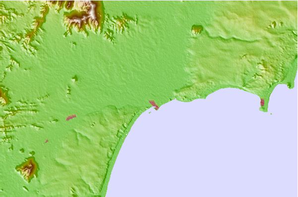
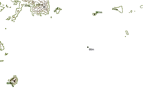
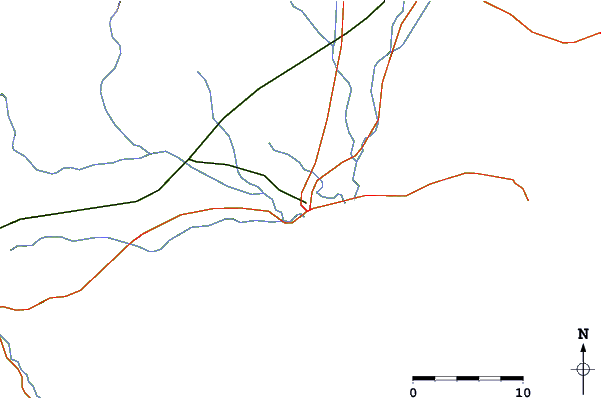
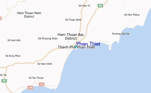
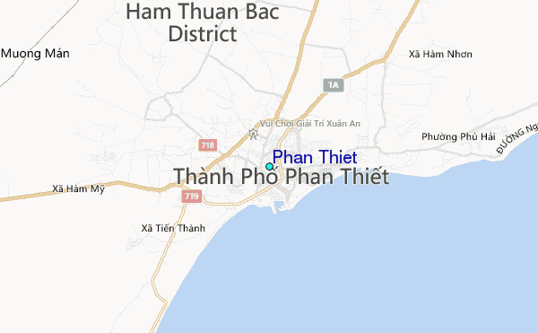
Use this relief map to navigate to tide stations, surf breaks and cities that are in the area of Phan Thiet.
Other Nearby Locations' tide tables and tide charts to Phan Thiet:
click location name for more details
 Surf breaks close to Phan Thiet:
|
||
|---|---|---|
| Closest surf break | Mui Ne | 13 mi |
| Second closest surf break | Vung Tau (Back Beach) | 80 mi |
| Third closest surf break | Bai Dai Nha Trang | 111 mi |
| Fourth closest surf break | Dark Reef | 113 mi |
| Fifth closest surf break | Hon Chong Beach Break | 119 mi |


 Nearest
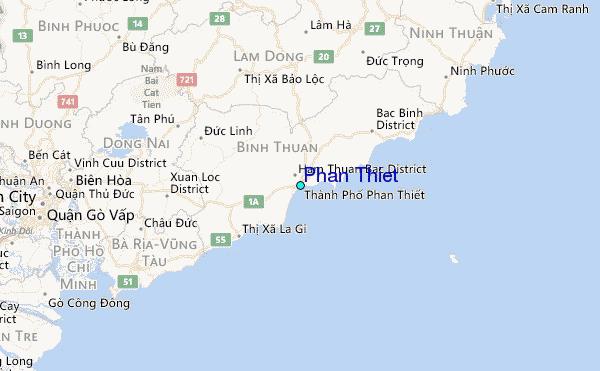