
| Distance / Altitude | Location | Report Date / Time | Live Weather | Wind | Gusts | Temp. | Visibility | Cloud |
|---|---|---|---|---|---|---|---|---|
| 1 km S / 5 m | Philadelphia (Pennsylvania) | 2026-03-03 04:40 local (2026/03/03 09:40 GMT) | - | calm (3 km/h at 78) | 0°C | - | - - 0 | |
| 3 km S / 3 m | BUOY-PHBP1 (Marine) | 2026-03-03 04:42 local (2026/03/03 09:42 GMT) | - (- km/h at -) | — | - | |||
| 6 km ENE / 3 m | BUOY-BDSP1 (Marine) | 2026-03-03 04:42 local (2026/03/03 09:42 GMT) | - (- km/h at -) | — | - | |||
| 9 km ESE / 12 m | Haddon Township (New Jersey) | 2026-03-03 04:35 local (2026/03/03 09:35 GMT) | - | calm (0 km/h at 89) | 1°C | - | - - 0 | |
| 11 km WNW / 75 m | Bala Cynwyd (Pennsylvania) | 2026-03-03 05:19 local (2026/03/03 10:19 GMT) | - | calm (0 km/h at 128) | 1°C | - | - - 0 | |
| 12 km ENE / 27 m | Parry wx (United States) | 2026-03-03 04:21 local (2026/03/03 09:21 GMT) | - | calm (0 km/h at 0) | 0°C | - | - - 0 | |
| 13 km WSW / 70 m | Beverly Hills wx (United States) | 2026-03-03 04:17 local (2026/03/03 09:17 GMT) | - | calm (2 km/h at 103) | 0°C | - | - - 0 | |
| 13 km ENE / 20 m | Cinnaminson (New Jersey) | 2026-03-03 04:48 local (2026/03/03 09:48 GMT) | - | calm (0 km/h at 51) | -1°C | - | - - 0 | |
| 13 km SSW / 218 m | Philadelphia Airport (Pennsylvania) | 2026-03-03 03:54 local (2026/03/03 08:54 GMT) | Dry and cloudy | light winds from the ENE (7 km/h at 60) | 1°C | 16 | overcast | |
| 14 km NE / 19 m | Philadelphia (Pennsylvania) | 2026-03-03 04:16 local (2026/03/03 09:16 GMT) | - | calm (5 km/h at 60) | 0°C | - | - - 0 |
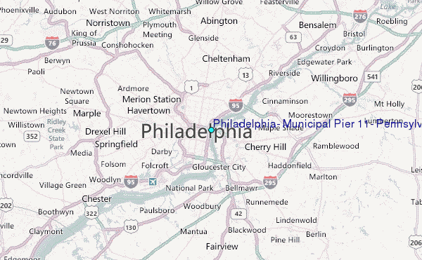
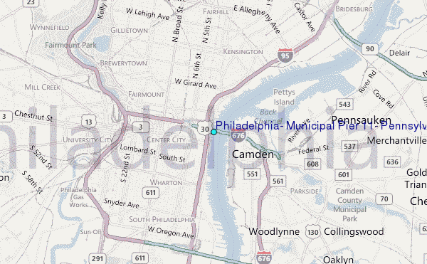
Choose Philadelphia, Municipal Pier 11, Pennsylvania Location Map Zoom:
| Contours: | Roads & Rivers: | Select a
tide station / surf break / city |
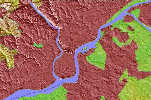
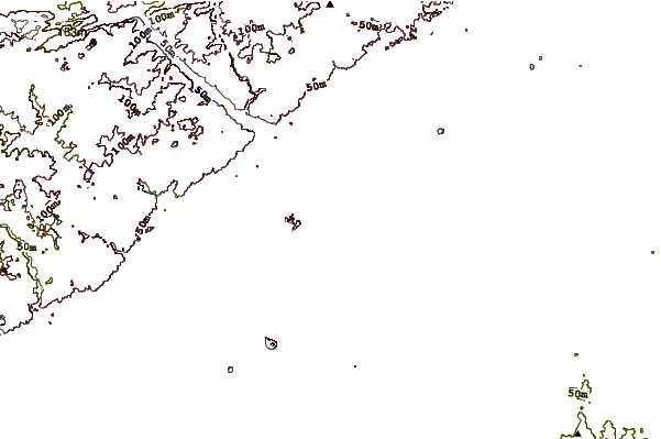
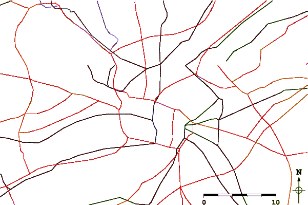
Use this relief map to navigate to tide stations, surf breaks and cities that are in the area of Philadelphia, Municipal Pier 11, Pennsylvania.
Other Nearby Locations' tide tables and tide charts to Philadelphia, Municipal Pier 11, Pennsylvania:
click location name for more details
 Surf breaks close to Philadelphia, Municipal Pier 11, Pennsylvania:
|
||
|---|---|---|
| Closest surf break | Hollyoake | 55 mi |
| Second closest surf break | Wooden Jetties | 55 mi |
| Third closest surf break | Great Egg Harbor Inlet Longport | 55 mi |
| Fourth closest surf break | Lbi 5th Street Beach Haven | 55 mi |
| Fifth closest surf break | Lbi 82st | 55 mi |


 Nearest
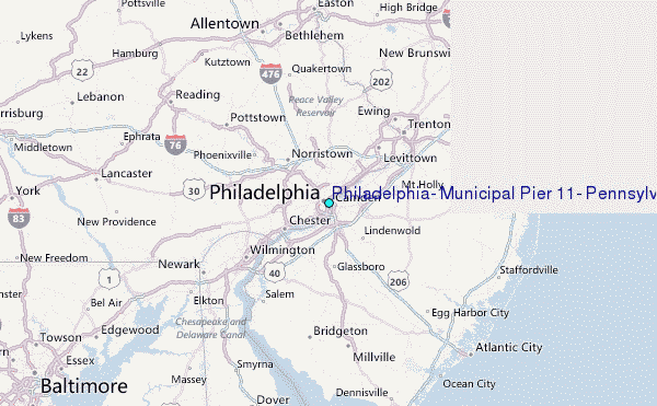