
| Distance / Altitude | Location | Report Date / Time | Live Weather | Wind | Gusts | Temp. | Visibility | Cloud |
|---|---|---|---|---|---|---|---|---|
| 7 km ENE / 240 m | Rhyll (Australia) | 2026-03-21 11:00 local (2026/03/21 00:00 GMT) | - | light winds from the ESE (7 km/h at 110) | — | - | - - - | |
| 7 km ENE / 240 m | Rhyll Automatic Weather Station (Australia) | 2026-03-21 12:00 local (2026/03/21 01:00 GMT) | - | light winds from the ESE (7 km/h at 110) | — | - | - | |
| 16 km NW / 240 m | Cerberus Automatic Weather Station (Australia) | 2026-03-21 12:00 local (2026/03/21 01:00 GMT) | - | calm (4 km/h at 160) | — | - | - no observation - | |
| 39 km NW / 239 m | Frankston (Australia) | 2026-03-21 12:00 local (2026/03/21 01:00 GMT) | no report | light winds from the WNW (15 km/h at 290) | — | - | - no observation - | |
| 50 km NW / 40 m | Chelsea (Australia) | 2026-03-21 12:24 local (2026/03/21 01:24 GMT) | dry | calm (2 km/h at 105) | 28°C | - | - - 0 | |
| 53 km ESE / 4 m | Pound Creek (Australia) | 2026-03-21 12:00 local (2026/03/21 01:00 GMT) | - | light winds from the SSE (6 km/h at 150) | — | - | - no observation - | |
| 57 km NW / 13 m | MoorabbinAirport (Australia) | 2026-03-21 12:00 local (2026/03/21 01:00 GMT) | no report | light winds from the SSE (9 km/h at 150) | 9°C | - | - mostly cloudy - | |
| 65 km NW / 214 m | Fawkner Beacon (Australia) | 2026-03-21 12:00 local (2026/03/21 01:00 GMT) | No report | light winds from the SSE (13 km/h at 160) | — | - | - no observation - | |
| 68 km N / 513 m | FernyCreek (Australia) | 2026-03-21 12:00 local (2026/03/21 01:00 GMT) | no report | wind obs. (9 kph from 100 degs) was rejected (- km/h at -) | 7°C | - | - no observation - | |
| 68 km N / 80 m | Scoresby Research Institute (Australia) | 2026-03-21 12:00 local (2026/03/21 01:00 GMT) | No report | light winds from the SSE (6 km/h at 150) | 20°C | - | - no observation - |
| Contours: | Roads & Rivers: | Select a
tide station / surf break / city |
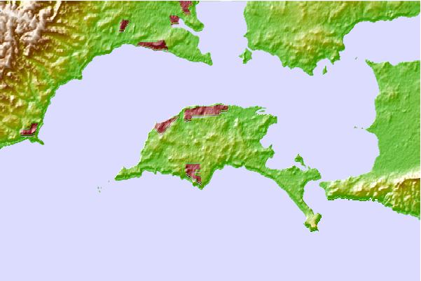
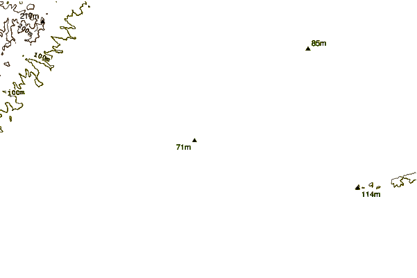
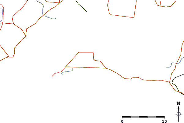
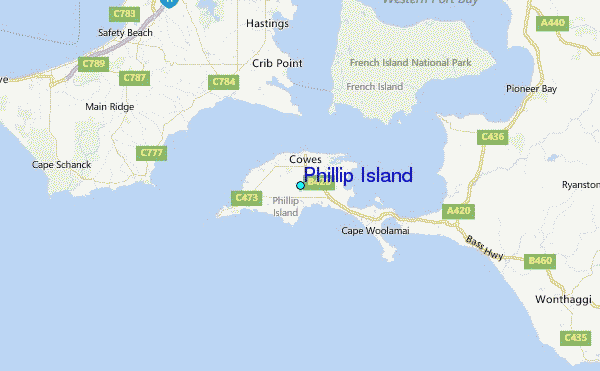
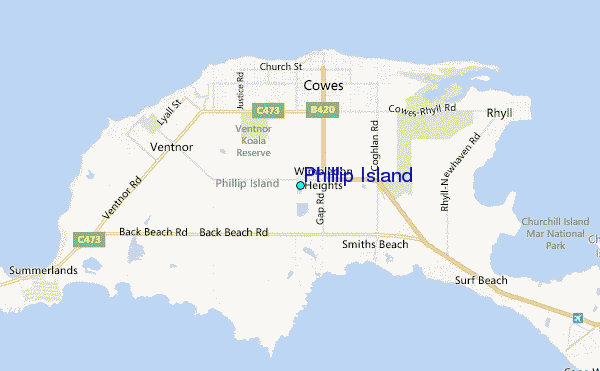
Use this relief map to navigate to tide stations, surf breaks and cities that are in the area of Phillip Island.
Other Nearby Locations' tide tables and tide charts to Phillip Island:
click location name for more details
 Surf breaks close to Phillip Island:
|
||
|---|---|---|
| Closest surf break | Smiths Beach | 2 mi |
| Second closest surf break | Express Point | 2 mi |
| Third closest surf break | Berrys Beach | 3 mi |
| Fourth closest surf break | Kitty Miller Bay | 3 mi |
| Fifth closest surf break | Pyramid Rock | 3 mi |


 Nearest