
| Distance / Altitude | Location | Report Date / Time | Live Weather | Wind | Gusts | Temp. | Visibility | Cloud |
|---|---|---|---|---|---|---|---|---|
| 11 km SW / 219 m | Dakar/Yoff-Léopold Sédar Senghor International Airport (Senegal) | 2025-12-25 07:00 local (2025/12/25 07:00 GMT) | - | light winds from the N (19 km/h at 360) | — | 0.0 | ||
| 37 km ESE / 89 m | Blaise Diagne International Airport (Senegal) | 2025-12-25 07:30 local (2025/12/25 07:30 GMT) | Dry and partly cloudy | light winds from the NNE (19 km/h at 30) | — | 0.0 | no significant cloud - - | |
| 128 km E / 9 m | Diourbel (Senegal) | 2025-12-25 07:00 local (2025/12/25 07:00 GMT) | - | light winds from the NNW (7 km/h at 340) | — | 0.0 | - - - | |
| 156 km S / 3 m | SHIP528 (Marine) | 2025-12-25 06:00 local (2025/12/25 06:00 GMT) | strong winds from the NNE (41 km/h at 30) | 20°C | 20.4 | |||
| 160 km ESE / 7 m | Kaolack Airport (Senegal) | 2025-12-25 07:00 local (2025/12/25 07:00 GMT) | - | light winds from the N (15 km/h at 360) | — | 0.0 | ||
| 155 km S / 15 m | SHIP3118 (Marine) | 2025-12-25 06:00 local (2025/12/25 06:00 GMT) | strong winds from the NNE (40.68000000000001 km/h at 30) | 22°C | 17.7 km | |||
| 155 km S / 15 m | SHIP6253 (Marine) | 2025-12-25 06:00 local (2025/12/25 06:00 GMT) | strong winds from the NNE (40.68000000000001 km/h at 30) | 22°C | 17.7 km | |||
| 155 km S / 15 m | SHIP9572 (Marine) | 2025-12-25 06:00 local (2025/12/25 06:00 GMT) | strong winds from the NNE (40.68000000000001 km/h at 30) | 22°C | 17.7 km | |||
| 155 km S / 3 m | SHIP1726 (Marine) | 2025-12-25 06:00 local (2025/12/25 06:00 GMT) | strong winds from the NNE (41 km/h at 30) | 20°C | 20.4 | |||
| 155 km S / 3 m | SHIP278 (Marine) | 2025-12-25 06:00 local (2025/12/25 06:00 GMT) | strong winds from the NNE (41 km/h at 30) | 20°C | 20.4 |
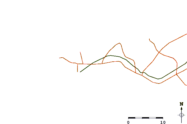
| Contours: | Roads & Rivers: | Select a
tide station / surf break / city |
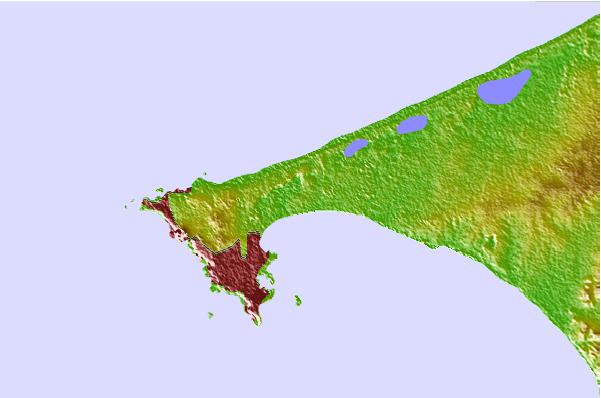
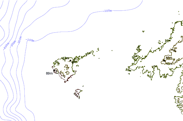
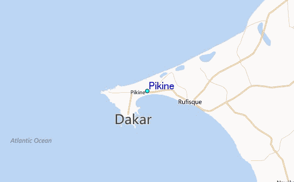
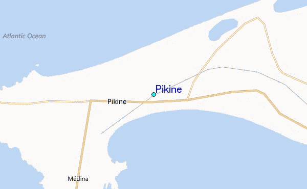
Use this relief map to navigate to tide stations, surf breaks and cities that are in the area of Pikine.
Other Nearby Locations' tide tables and tide charts to Pikine:
click location name for more details
 Surf breaks close to Pikine:
|
||
|---|---|---|
| Closest surf break | Malika Sur Mer | 2 mi |
| Second closest surf break | Yoff Beach | 4 mi |
| Third closest surf break | Yoff Island | 6 mi |
| Fourth closest surf break | Le Virage | 6 mi |
| Fifth closest surf break | Ouakam | 7 mi |


 Nearest
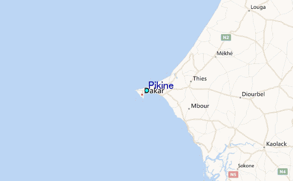