
| Distance / Altitude | Location | Report Date / Time | Live Weather | Wind | Gusts | Temp. | Visibility | Cloud |
|---|---|---|---|---|---|---|---|---|
| 0 km SW / 3 m | BUOY-PSTL1 (Marine) | 2026-06-24 00:00 local (2026/06/24 05:00 GMT) | moderate winds from the W (28 km/h at 260) | 29°C | - | |||
| 3 km SSW / 3 m | BUOY-BURL1 (Marine) | 2026-06-24 00:00 local (2026/06/24 05:00 GMT) | moderate winds from the W (26 km/h at 270) | 29°C | - | |||
| 4 km S / 3 m | SHIP6843 (Marine) | 2026-06-24 00:00 local (2026/06/24 05:00 GMT) | - (- km/h at -) | 28°C | - | |||
| 25 km W / 3 m | BUOY-42084 (Marine) | 2026-06-23 23:30 local (2026/06/24 04:30 GMT) | - (- km/h at -) | 29°C | - | |||
| 26 km S / 40 m | South Pass 89e (Louisiana) (Louisiana) | 2026-06-23 23:35 local (2026/06/24 04:35 GMT) | - | moderate winds from the WNW (22 km/h at 290) | 28°C | 16 | few | |
| 4 km S / 15 m | SHIP7094 (Marine) | 2026-06-24 00:00 local (2026/06/24 05:00 GMT) | - (- km/h at -) | — | - km | |||
| 4 km S / 15 m | SHIP4432 (Marine) | 2026-06-24 00:00 local (2026/06/24 05:00 GMT) | - (- km/h at -) | — | - km | |||
| 4 km S / 3 m | SHIP1332 (Marine) | 2026-06-24 00:00 local (2026/06/24 05:00 GMT) | - (- km/h at -) | 28°C | - | |||
| 4 km S / 3 m | SHIP3435 (Marine) | 2026-06-24 00:00 local (2026/06/24 05:00 GMT) | - (- km/h at -) | 28°C | - | |||
| 4 km S / 3 m | SHIP6963 (Marine) | 2026-06-24 00:00 local (2026/06/24 05:00 GMT) | - (- km/h at -) | 28°C | - |
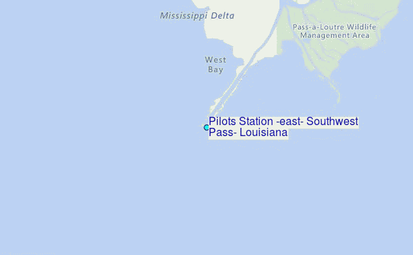
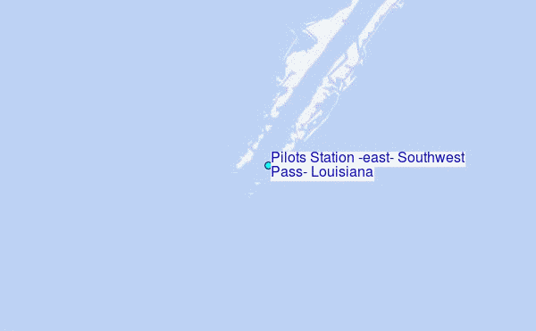
Choose Pilots Station (east), Southwest Pass, Louisiana Location Map Zoom:
| Contours: | Roads & Rivers: | Select a
tide station / surf break / city |
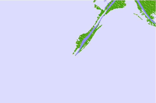
Use this relief map to navigate to tide stations, surf breaks and cities that are in the area of Pilots Station (east), Southwest Pass, Louisiana.
Other Nearby Locations' tide tables and tide charts to Pilots Station (east), Southwest Pass, Louisiana:
click location name for more details
 Surf breaks close to Pilots Station (east), Southwest Pass, Louisiana:
|
||
|---|---|---|
| Closest surf break | Chandeleur Islands | 72 mi |
| Second closest surf break | Dauphin Island Pier | 121 mi |
| Third closest surf break | West Pass | 135 mi |
| Fourth closest surf break | Terry s Cove | 144 mi |
| Fifth closest surf break | Alabama Point | 145 mi |


 Nearest
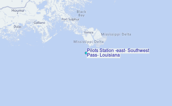