
| Distance / Altitude | Location | Report Date / Time | Live Weather | Wind | Gusts | Temp. | Visibility | Cloud |
|---|---|---|---|---|---|---|---|---|
| 21 km WNW / 13 m | Dunalley (Stroud Point) (Australia) | 2026-02-15 12:00 local (2026/02/15 01:00 GMT) | No report | light winds from the SSW (7 km/h at 200) | 20°C | - | - no observation - | |
| 41 km N / 28 m | Maria Island (Point Lesueur) (Australia) | 2026-02-15 12:00 local (2026/02/15 01:00 GMT) | No report | moderate winds from the N (22 km/h at 360) | 22°C | - | no observation | |
| 41 km N / 28 m | Maria Island (Point Lesueur) (Australia) | 2026-02-15 12:00 local (2026/02/15 01:00 GMT) | no report | wind obs. (33 kph from 200 degs) was rejected (- km/h at -) | 10°C | - | - | |
| 47 km W / 213 m | Hobart Airport (Australia) | 2026-02-15 11:30 local (2026/02/15 00:30 GMT) | Dry and partly cloudy | light winds from the SE (17 km/h at 140) | 21°C | 10.0 | no cloud | |
| 47 km WSW / 25 m | Mary Ann Bay (Australia) | 2026-02-15 12:00 local (2026/02/15 01:00 GMT) | - | moderate winds from the S (26 km/h at 186) | 18°C | - | - - 0 | |
| 50 km WSW / 46 m | BullBay(Lauriston) (Australia) | 2026-02-15 12:00 local (2026/02/15 01:00 GMT) | - | light winds from the NNE (7 km/h at 30) | 22°C | - | no observation | |
| 50 km WSW / 6 m | Dennes Point (Australia) | 2026-02-15 12:00 local (2026/02/15 01:00 GMT) | no report | light winds from the SSW (9 km/h at 210) | 9°C | - | - no observation - | |
| 52 km SSE / 15 m | ASCATB148E43S (Marine) | 2026-02-15 10:07 local (2026/02/14 23:07 GMT) | light winds from the WNW (12 km/h at 282) | — | - km | |||
| 54 km N / 1 m | Spring Bay Ntc Aws (Australia) | 2026-02-15 12:00 local (2026/02/15 01:00 GMT) | no report | - (- km/h at -) | 11°C | - | - | |
| 55 km W / 51 m | Hobart (Ellerslie Road) (Australia) | 2026-02-15 12:00 local (2026/02/15 01:00 GMT) | No report | light winds from the ESE (17 km/h at 120) | 22°C | - | - no observation - |
| Contours: | Roads & Rivers: | Select a
tide station / surf break / city |
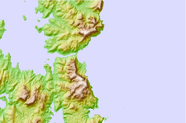
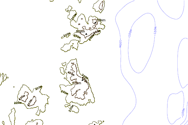
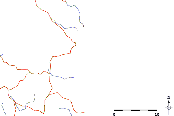
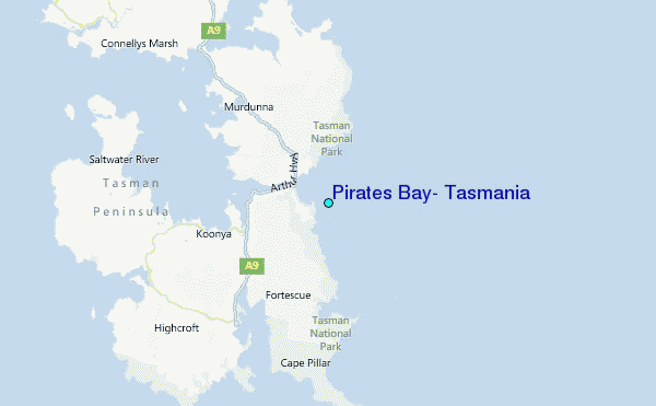
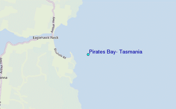
Use this relief map to navigate to tide stations, surf breaks and cities that are in the area of Pirates Bay, Tasmania.
Other Nearby Locations' tide tables and tide charts to Pirates Bay, Tasmania:
click location name for more details
 Surf breaks close to Pirates Bay, Tasmania:
|
||
|---|---|---|
| Closest surf break | Eaglehawk Neck Beach | 2 mi |
| Second closest surf break | Eaglehawk Neck Reef | 2 mi |
| Third closest surf break | Tessellated Pavements | 2 mi |
| Fourth closest surf break | Safety Cove Reef | 11 mi |
| Fifth closest surf break | Remarkable Caves | 12 mi |


 Nearest
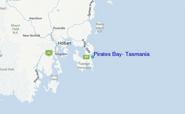