
| Distance / Altitude | Location | Report Date / Time | Live Weather | Wind | Gusts | Temp. | Visibility | Cloud |
|---|---|---|---|---|---|---|---|---|
| 5 km ESE / 51 m | Plymouth- Mount Batten (United Kingdom) | 2024-10-23 16:00 local (2024/10/23 15:00 GMT) | no report | light winds from the ENE (11 km/h at 60) | 22°C | 21 | - | |
| 7 km NNE / 31 m | Plymouth (United Kingdom) | 2024-10-23 15:15 local (2024/10/23 14:15 GMT) | dry | calm (0 km/h at 48) | 8°C | - | - - 0 | |
| 13 km S / 3 m | BUOY-62030 (Marine) | 2024-10-23 15:00 local (2024/10/23 14:00 GMT) | moderate winds from the SSE (21 km/h at 150) | 15°C | - | |||
| 44 km S / 3 m | BUOY-62050 (Marine) | 2024-10-23 15:00 local (2024/10/23 14:00 GMT) | moderate winds from the SSE (24 km/h at 160) | 15°C | - | |||
| 59 km WSW / 119 m | Newquay Airport (United kingdom) | 2024-10-23 15:20 local (2024/10/23 14:20 GMT) | Dry and partly cloudy | fresh winds from the SSE (31 km/h at 160) | 14°C | 10.0 | scattered | |
| 61 km ENE / 5 m | Edge - Duckpond (United Kingdom) | 2024-10-23 16:00 local (2024/10/23 15:00 GMT) | - | moderate winds from the S (28 km/h at 176) | 15°C | - | - - 0 | |
| 67 km NE / 174 m | Exeter Airport (United Kingdom) | 2024-10-23 15:20 local (2024/10/23 14:20 GMT) | - | moderate winds from the S (20 km/h at 170) | 16°C | 10.0 | few | |
| 69 km NE / 27 m | Exeter Airport NO 2 (United Kingdom) | 2024-10-23 16:00 local (2024/10/23 15:00 GMT) | no report | wind obs. (7 kph from 30 degs) was rejected (- km/h at -) | 20°C | 40 | - | |
| 74 km NE / 43 m | 885 (United Kingdom) | 2024-10-23 16:00 local (2024/10/23 15:00 GMT) | - | light winds from the SE (19 km/h at 128) | 15°C | - | - - 0 | |
| 75 km S / 15 m | SHIP8861 (Marine) | 2024-10-23 15:00 local (2024/10/23 14:00 GMT) | - (- km/h at -) | — | - km |
| Contours: | Roads & Rivers: | Select a
tide station / surf break / city |
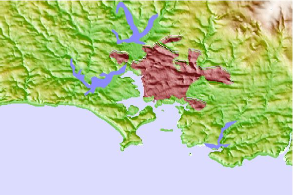
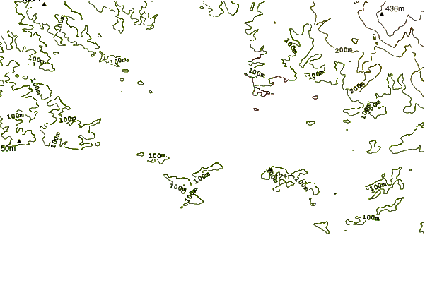
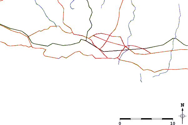
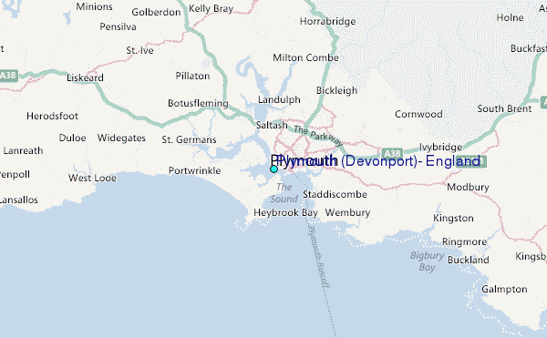
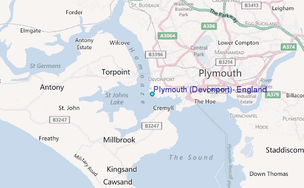
Use this relief map to navigate to tide stations, surf breaks and cities that are in the area of Plymouth (Devonport), England.
Other Nearby Locations' tide tables and tide charts to Plymouth (Devonport), England:
click location name for more details
 Surf breaks close to Plymouth (Devonport), England:
|
||
|---|---|---|
| Closest surf break | Whitsand Bay and Tregantle | 4 mi |
| Second closest surf break | Bovisand Bay | 4 mi |
| Third closest surf break | Wembury | 6 mi |
| Fourth closest surf break | Portwrinkle | 7 mi |
| Fifth closest surf break | Seaton | 9 mi |

 Nearest