
| Distance / Altitude | Location | Report Date / Time | Live Weather | Wind | Gusts | Temp. | Visibility | Cloud |
|---|---|---|---|---|---|---|---|---|
| 32 km NW / 5 m | Iba (Philippines) | 2026-04-13 17:00 local (2026/04/13 09:00 GMT) | thunderstorm but no precipitation falling at station | wind obs. (18 kph from 220 degs) was rejected (- km/h at -) | 32°C | 20 | - | |
| 36 km SE / 0 m | Olongapo/Subic Bay Airport (Philippines) | 2026-04-13 18:00 local (2026/04/13 10:00 GMT) | haze | wind obs. (11 kph from 350 degs) was rejected (- km/h at -) | 30°C | 10.0 | few - - | |
| 54 km ENE / 155 m | Clark AB (Philippines) | 2026-04-13 17:00 local (2026/04/13 09:00 GMT) | haze | wind obs. (18 kph from 180 degs) was rejected (- km/h at -) | 33°C | 15 | - - - | |
| 56 km ENE / 584 m | Angeles/Pampanga Airport (Philippines) | 2026-04-13 18:00 local (2026/04/13 10:00 GMT) | - | wind obs. (19 kph from 180 degs) was rejected (- km/h at -) | 33°C | 9.0 | few | |
| 88 km ENE / 19 m | Santa Lucia wx (Philippines) | 2026-04-13 19:30 local (2026/04/13 11:30 GMT) | dry | calm (5 km/h at 341) | 28°C | - | - - 0 | |
| 110 km SE / 2 m | Sangley Point (Philippines) | 2026-04-13 17:00 local (2026/04/13 09:00 GMT) | no report | wind obs. (18 kph from 90 degs) was rejected (- km/h at -) | 32°C | 10 | - - - | |
| 113 km NNE / 219 m | Dagupan (Philippines) | 2026-04-13 17:00 local (2026/04/13 09:00 GMT) | haze | wind obs. (7 kph from 160 degs) was rejected (- km/h at -) | 33°C | 12 | - | |
| 113 km NNE / 219 m | Dagupan (Luzon Island) (Philippines) | 2026-04-13 17:00 local (2026/04/13 09:00 GMT) | haze | wind obs. (7 kph from 160 degs) was rejected (- km/h at -) | 33°C | 12 | - - - | |
| 115 km ESE / 39 m | Science Garden (Philippines) | 2026-04-13 17:00 local (2026/04/13 09:00 GMT) | rain showers | calm (4 km/h at 140) | 30°C | 8 | - - - | |
| 116 km ESE / 26 m | Quezon City (Åland) | 2026-04-13 19:01 local (2026/04/13 11:01 GMT) | dry | calm (5 km/h at 214) | 30°C | - | - - 0 |
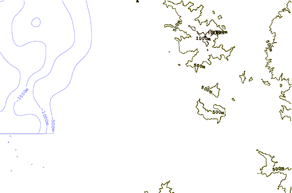
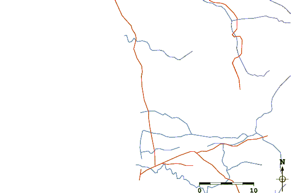
| Contours: | Roads & Rivers: | Select a
tide station / surf break / city |
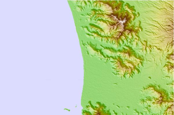
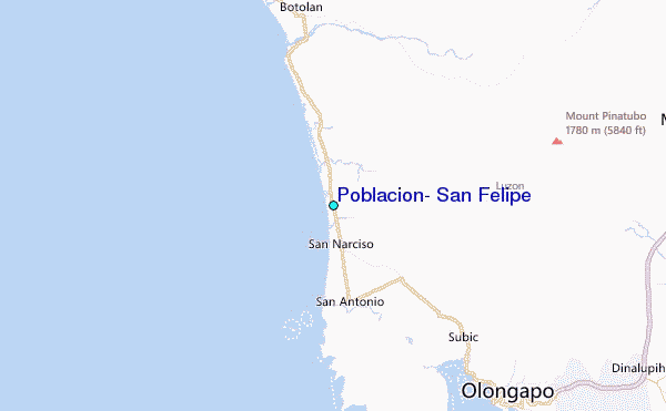
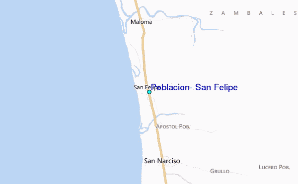
Use this relief map to navigate to tide stations, surf breaks and cities that are in the area of Poblacion, San Felipe.
Other Nearby Locations' tide tables and tide charts to Poblacion, San Felipe:
click location name for more details
 Surf breaks close to Poblacion, San Felipe:
|
||
|---|---|---|
| Closest surf break | Bauang | 104 mi |
| Second closest surf break | Poro Point | 108 mi |
| Third closest surf break | Car-rille | 109 mi |
| Fourth closest surf break | Baler - Charlie's Point | 111 mi |
| Fifth closest surf break | Baler - Lindy's Point | 111 mi |


 Nearest
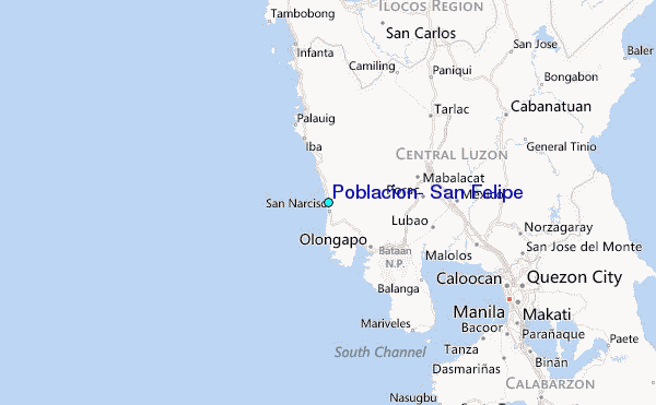