
| Distance / Altitude | Location | Report Date / Time | Live Weather | Wind | Gusts | Temp. | Visibility | Cloud |
|---|---|---|---|---|---|---|---|---|
| 14 km NNE / 3 m | BUOY-GUXA2 (Marine) | 2026-04-28 11:32 local (2026/04/28 19:32 GMT) | calm (5 km/h at 90) | 7°C | - | |||
| 15 km N / 216 m | Gustavus Airport (Alaska) | 2026-04-28 09:56 local (2026/04/28 17:56 GMT) | Dry and cloudy | calm (0 km/h at 0) | 6°C | 16 | few scattered overcast | |
| 28 km SE / 213 m | Hoonah Airport (Alaska) | 2026-04-28 10:33 local (2026/04/28 18:33 GMT) | Dry and cloudy | wind obs. (6 kph from 1 degs) was rejected (- km/h at -) | 8°C | 16 | broken overcast | |
| 35 km SW / 3 m | BUOY-ELFA2 (Marine) | 2026-04-28 11:00 local (2026/04/28 19:00 GMT) | - (- km/h at -) | — | - | |||
| 36 km SW / 3 m | BUOY-GEXA2 (Marine) | 2026-04-28 11:32 local (2026/04/28 19:32 GMT) | moderate winds from the ENE (22 km/h at 60) | 5°C | - | |||
| 45 km SSW / 3 m | BUOY-PEXA2 (Marine) | 2026-04-28 11:32 local (2026/04/28 19:32 GMT) | light winds from the S (13 km/h at 170) | 9°C | - | |||
| 45 km ESE / 3 m | BUOY-RIXA2 (Marine) | 2026-04-28 11:32 local (2026/04/28 19:32 GMT) | light winds from the E (15 km/h at 80) | 6°C | - | |||
| 49 km E / 3 m | BUOY-NKXA2 (Marine) | 2026-04-28 11:32 local (2026/04/28 19:32 GMT) | calm (4 km/h at 10) | 7°C | - | |||
| 50 km ENE / 3 m | BUOY-PRTA2 (Marine) | 2026-04-28 11:10 local (2026/04/28 19:10 GMT) | light winds from the WSW (8 km/h at 250) | 6°C | - | |||
| 51 km WSW / 3 m | BUOY-CSXA2 (Marine) | 2026-04-28 11:32 local (2026/04/28 19:32 GMT) | light winds from the ESE (13 km/h at 120) | — | - |
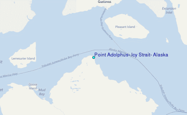
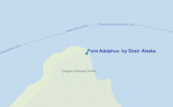
Choose Point Adolphus, Icy Strait, Alaska Location Map Zoom:
| Contours: | Roads & Rivers: | Select a
tide station / surf break / city |
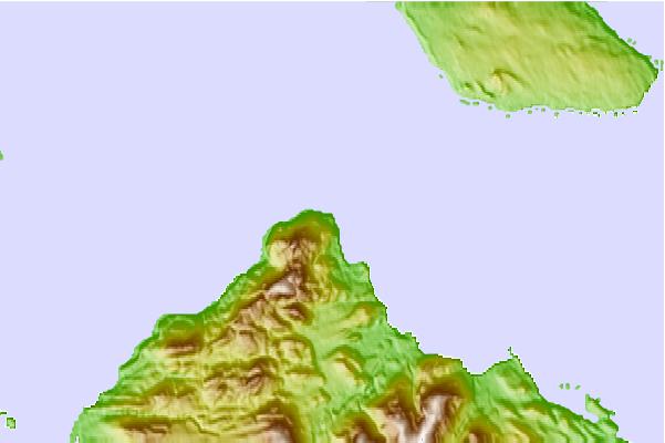
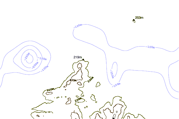
Use this relief map to navigate to tide stations, surf breaks and cities that are in the area of Point Adolphus, Icy Strait, Alaska.
Other Nearby Locations' tide tables and tide charts to Point Adolphus, Icy Strait, Alaska:
click location name for more details
 Surf breaks close to Point Adolphus, Icy Strait, Alaska:
|
||
|---|---|---|
| Closest surf break | Cannon Beach | 165 mi |
| Second closest surf break | Graveyards | 168 mi |
| Third closest surf break | Ocean Cape | 170 mi |
| Fourth closest surf break | Lepus Beach (Haida-Gwaii) | 303 mi |
| Fifth closest surf break | Tow Hill Beach | 329 mi |


 Nearest
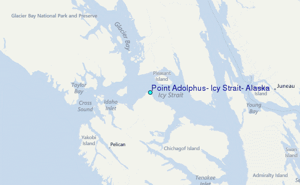