
| Distance / Altitude | Location | Report Date / Time | Live Weather | Wind | Gusts | Temp. | Visibility | Cloud |
|---|---|---|---|---|---|---|---|---|
| 57 km NNE / 39 m | Woodbrook wx (Trinidad and Tobago) | 2026-05-15 19:25 local (2026/05/15 23:25 GMT) | - | calm (0 km/h at 0) | — | - | - - 0 | |
| 58 km NE / 216 m | Piarco International Airport (Trinidad Tobago) | 2026-05-15 19:00 local (2026/05/15 23:00 GMT) | Shower - in the vicinity | light winds from the E (7 km/h at 100) | 27°C | 10.0 | scattered | |
| 61 km NE / 15 m | PiarcoInt.Airport- Trinidad (Trinidad and Tobago) | 2026-05-15 19:00 local (2026/05/15 23:00 GMT) | Distant precipitation but not falling at station | light winds from the E (7 km/h at 100) | 27°C | 32 km | mostly cloudy | |
| 141 km NE / 186 m | Crown Point/Scarborough Airport (Trinidad Tobago) | 2026-05-15 19:00 local (2026/05/15 23:00 GMT) | Shower - in the vicinity | moderate winds from the E (22 km/h at 90) | 27°C | 10.0 | broken | |
| 203 km N / 167 m | Point Salines Airport (Grenada) | 2026-05-15 20:00 local (2026/05/16 00:00 GMT) | Haze | moderate winds from the ESE (28 km/h at 110) | 28°C | 37 km | few few - | |
| 238 km S / 113 m | Ciudad Guayana (Venezuela) | 2026-05-15 19:27 local (2026/05/15 23:27 GMT) | dry | light winds from the ENE (10 km/h at 78) | 27°C | - | - - 0 | |
| 328 km WSW / 192 m | Barcelona/General José Antonio Anzoátegui International Airport (Venezuela) | 2026-05-15 19:00 local (2026/05/15 23:00 GMT) | - | light winds from the NE (19 km/h at 40) | 31°C | 10.0 | few | |
| 335 km N / 41 m | Argyle International Airport (Saint Vincent and the Grenadines) | 2026-05-15 19:00 local (2026/05/15 23:00 GMT) | Shower - in the vicinity | moderate winds from the ESE (20 km/h at 110) | 26°C | 9.0 | scattered scattered | |
| 400 km NE / 175 m | Grantley Adams International Airport (Barbados) | 2026-05-15 19:00 local (2026/05/15 23:00 GMT) | no report | moderate winds from the ENE (25 km/h at 70) | 27°C | 40 | - broken - | |
| 404 km N / 10 m | HewanorraIntl Airport (Saint Lucia) | 2026-05-15 20:00 local (2026/05/16 00:00 GMT) | Nearby precipitation but not falling at station | fresh winds from the E (33 km/h at 100) | 27°C | 26 km | mostly cloudy |
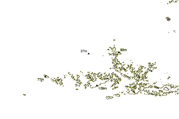
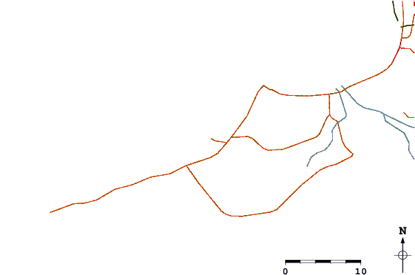
| Contours: | Roads & Rivers: | Select a
tide station / surf break / city |
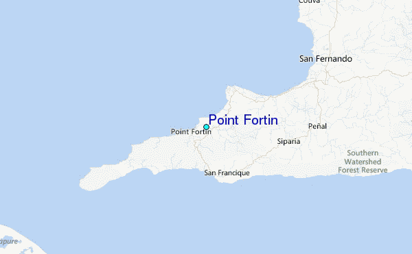
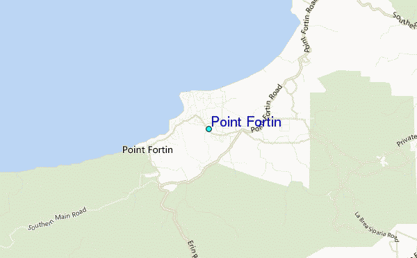
Use this relief map to navigate to tide stations, surf breaks and cities that are in the area of Point Fortin.
Other Nearby Locations' tide tables and tide charts to Point Fortin:
click location name for more details
 Surf breaks close to Point Fortin:
|
||
|---|---|---|
| Closest surf break | Las Cuevas | 46 mi |
| Second closest surf break | Guiria | 49 mi |
| Third closest surf break | Damien's Bay | 51 mi |
| Fourth closest surf break | Unare | 55 mi |
| Fifth closest surf break | Matelot | 58 mi |


 Nearest
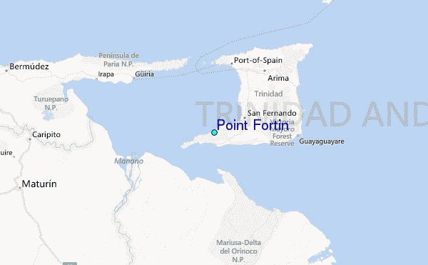