
| Distance / Altitude | Location | Report Date / Time | Live Weather | Wind | Gusts | Temp. | Visibility | Cloud |
|---|---|---|---|---|---|---|---|---|
| 102 km NNE / 6 m | Learmonth Airport (Australia) | 2025-12-24 20:00 local (2025/12/24 12:00 GMT) | no report | moderate winds from the SW (24 km/h at 230) | 28°C | - | - no observation - | |
| 104 km NNE / 214 m | Learmouth Airport (Australia) | 2025-12-24 19:30 local (2025/12/24 11:30 GMT) | Dry and partly cloudy | moderate winds from the WSW (28 km/h at 240) | 28°C | 10.0 | no cloud | |
| 196 km S / 7 m | Carnarvon Airport (Australia) | 2025-12-24 20:00 local (2025/12/24 12:00 GMT) | no report | calm (0 km/h at 0) | 26°C | - | - no observation - | |
| 211 km NE / 4 m | Onslow Airport (Australia) | 2025-12-24 20:00 local (2025/12/24 12:00 GMT) | no report | light winds from the WNW (15 km/h at 290) | 30°C | - | - no observation - | |
| 223 km NE / 6 m | ThevenardIsland (Australia) | 2025-12-24 20:00 local (2025/12/24 12:00 GMT) | - | moderate winds from the WSW (24 km/h at 250) | — | - | - no observation - | |
| 299 km NE / 7 m | Barrow Island Airport (Australia) | 2025-12-24 20:00 local (2025/12/24 12:00 GMT) | - | light winds from the SW (13 km/h at 230) | — | - | - | |
| 299 km NE / 7 m | Barrow Island Airport (Australia) | 2025-12-24 20:00 local (2025/12/24 12:00 GMT) | No report | moderate winds from the SW (22 km/h at 230) | 28°C | - | - no observation - | |
| 309 km S / 34 m | Shark Bay Airport (Australia) | 2025-12-24 20:00 local (2025/12/24 12:00 GMT) | no report | light winds from the SSE (11 km/h at 150) | 29°C | - | - no observation - | |
| 310 km NE / 240 m | Mardie (Australia) | 2025-12-24 20:00 local (2025/12/24 12:00 GMT) | - | light winds from the WSW (7 km/h at 250) | — | - | - | |
| 329 km NE / 224 m | Varanus Island (Australia) | 2025-12-24 20:00 local (2025/12/24 12:00 GMT) | no report | wind obs. (20 kph from 80 degs) was rejected (- km/h at -) | 23°C | - | - no observation - |
| Contours: | Roads & Rivers: | Select a
tide station / surf break / city |
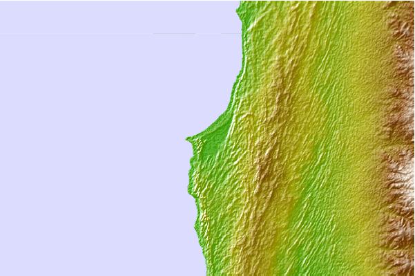
Use this relief map to navigate to tide stations, surf breaks and cities that are in the area of Point Maud, Australia.
Other Nearby Locations' tide tables and tide charts to Point Maud, Australia:
click location name for more details
 Surf breaks close to Point Maud, Australia:
|
||
|---|---|---|
| Closest surf break | Gnaraloo | 47 mi |
| Second closest surf break | Turtles | 62 mi |
| Third closest surf break | Red Bluff | 67 mi |
| Fourth closest surf break | Lighthouse Bombie | 88 mi |
| Fifth closest surf break | Dunes | 94 mi |


 Nearest