
| Distance / Altitude | Location | Report Date / Time | Live Weather | Wind | Gusts | Temp. | Visibility | Cloud |
|---|---|---|---|---|---|---|---|---|
| 4 km SSE / 3 m | BUOY-RCMC1 (Marine) | 2026-06-26 17:00 local (2026/06/27 00:00 GMT) | light winds from the SW (11 km/h at 230) | 19°C | - | |||
| 7 km SE / 3 m | BUOY-PPXC1 (Marine) | 2026-06-26 17:00 local (2026/06/27 00:00 GMT) | fresh winds from the SW (32 km/h at 230) | 18°C | - | |||
| 8 km S / 3 m | BUOY-TIBC1 (Marine) | 2026-06-26 17:00 local (2026/06/27 00:00 GMT) | - (- km/h at -) | — | - | |||
| 10 km SSW / 114 m | Alto wx (United States) | 2026-06-26 17:37 local (2026/06/27 00:37 GMT) | dry | calm (2 km/h at 137) | 21°C | - | - - 0 | |
| 10 km ESE / 189 m | El Cerrito (California) | 2026-06-26 17:14 local (2026/06/27 00:14 GMT) | dry | - (- km/h at ) | — | - | - - 0 | |
| 11 km W / 145 m | San Rafael (California) | 2026-06-26 17:10 local (2026/06/27 00:10 GMT) | - | light winds from the W (14 km/h at 275) | 19°C | - | - - 0 | |
| 11 km WSW / 33 m | Ross (California) | 2026-06-26 16:49 local (2026/06/26 23:49 GMT) | dry | wind obs. (6 kph from 317 degs) was rejected (- km/h at -) | 21°C | - | - - 0 | |
| 11 km SW / 114 m | Alto wx (United States) | 2026-06-26 17:21 local (2026/06/27 00:21 GMT) | dry | calm (2 km/h at 127) | 22°C | - | - - 0 | |
| 12 km SW / 58 m | Mill Valley (California) | 2026-06-26 17:33 local (2026/06/27 00:33 GMT) | dry | - (- km/h at ) | — | - | - - 0 | |
| 12 km WSW / 43 m | Ross (California) | 2026-06-26 17:15 local (2026/06/27 00:15 GMT) | dry | light winds from the WNW (14 km/h at 290) | 20°C | - | - - 0 |
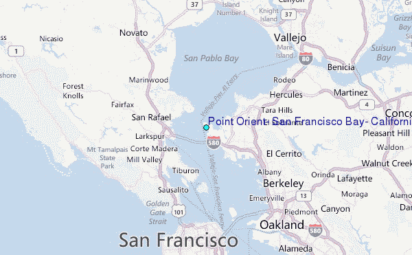
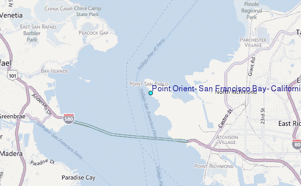
Choose Point Orient, San Francisco Bay, California Location Map Zoom:
| Contours: | Roads & Rivers: | Select a
tide station / surf break / city |
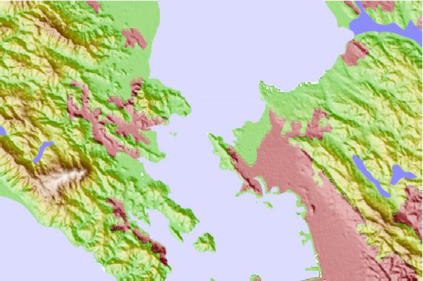
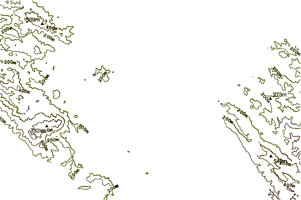
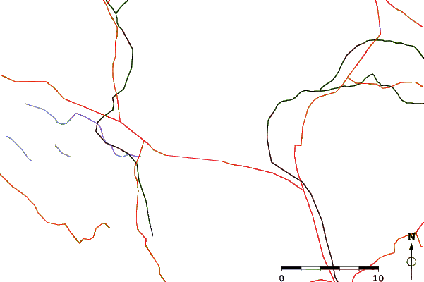
Use this relief map to navigate to tide stations, surf breaks and cities that are in the area of Point Orient, San Francisco Bay, California.
Other Nearby Locations' tide tables and tide charts to Point Orient, San Francisco Bay, California:
click location name for more details
 Surf breaks close to Point Orient, San Francisco Bay, California:
|
||
|---|---|---|
| Closest surf break | Fort Cronkite Rodeo Beach | 11 mi |
| Second closest surf break | Fort Point | 11 mi |
| Third closest surf break | Deadman's | 12 mi |
| Fourth closest surf break | Stinson Beach | 13 mi |
| Fifth closest surf break | Kellys Cove | 14 mi |


 Nearest
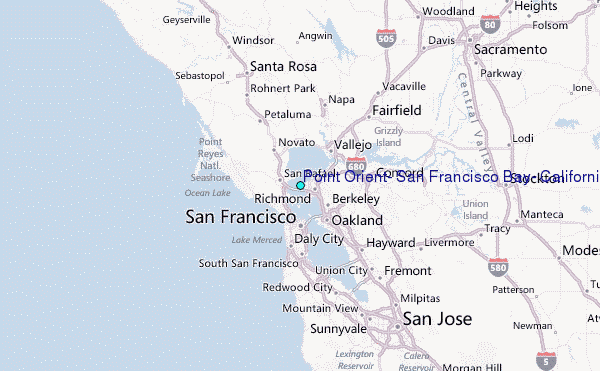