
| Distance / Altitude | Location | Report Date / Time | Live Weather | Wind | Gusts | Temp. | Visibility | Cloud |
|---|---|---|---|---|---|---|---|---|
| 20 km ENE / 9 m | Brevig_mission Airport (Alaska) | 2025-12-23 14:44 local (2025/12/23 23:44 GMT) | Mist - | near gales from the SSW (57 km/h at 200) | -1°C | 6 | overcast | |
| 24 km E / 90 m | Teller Airport (Alaska) | 2025-12-23 14:07 local (2025/12/23 23:07 GMT) | Moderate rain | gales from the SW (69 km/h at 220) | -1°C | 8 | broken broken | |
| 71 km WNW / 7 m | Wales Airport (Alaska) | 2025-12-23 14:34 local (2025/12/23 23:34 GMT) | Mist - | strong winds from the SSW (39 km/h at 210) | -1°C | 6 | scattered scattered broken | |
| 105 km SSW / 15 m | ASCATB192E65N (Marine) | 2025-12-23 13:28 local (2025/12/23 22:28 GMT) | strong winds from the SW (48 km/h at 226) | — | - km | |||
| 106 km SE / 16 m | Nome (Alaska) | 2025-12-23 15:46 local (2025/12/24 00:46 GMT) | - | fresh winds from the WSW (32 km/h at 242) | 0°C | - | - - 0 | |
| 106 km SE / 11 m | Nome (Alaska) | 2025-12-23 13:06 local (2025/12/23 22:06 GMT) | - | wind obs. (34 kph from 249 degs) was rejected (- km/h at -) | 0°C | - | - - 0 | |
| 108 km SE / 3 m | BUOY-NMXA2 (Marine) | 2025-12-23 15:32 local (2025/12/24 00:32 GMT) | strong winds from the SSW (42 km/h at 210) | 0°C | - | |||
| 108 km SE / 3 m | BUOY-NMTA2 (Marine) | 2025-12-23 15:00 local (2025/12/24 00:00 GMT) | fresh winds from the WSW (35 km/h at 240) | 0°C | - | |||
| 108 km SE / 214 m | Nome Airport (Alaska) | 2025-12-23 13:53 local (2025/12/23 22:53 GMT) | Dry and cloudy | fresh winds from the SW (37 km/h at 230) | 0°C | 16 | broken overcast | |
| 119 km NNE / 215 m | Shishmaref Airport (Alaska) | 2025-12-23 14:31 local (2025/12/23 23:31 GMT) | - | strong winds from the SW (48 km/h at 230) | 1°C | 0.0 |
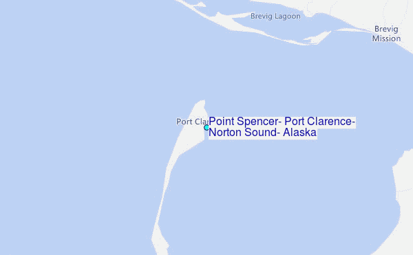
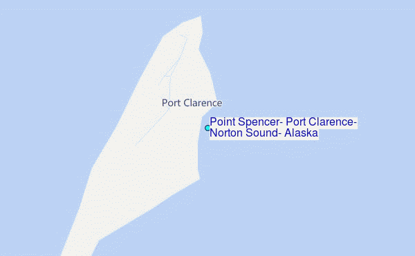
Choose Point Spencer, Port Clarence, Norton Sound, Alaska Location Map Zoom:
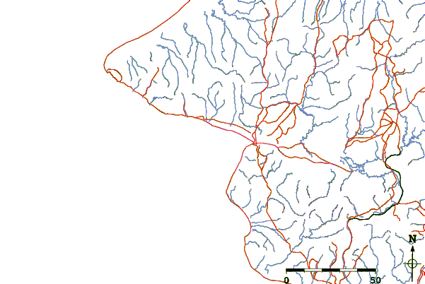
| Contours: | Roads & Rivers: | Select a
tide station / surf break / city |
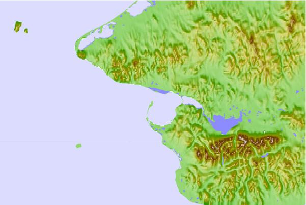
Use this relief map to navigate to tide stations, surf breaks and cities that are in the area of Point Spencer, Port Clarence, Norton Sound, Alaska.
Other Nearby Locations' tide tables and tide charts to Point Spencer, Port Clarence, Norton Sound, Alaska:
click location name for more details
 Surf breaks close to Point Spencer, Port Clarence, Norton Sound, Alaska:
|
||
|---|---|---|
| Closest surf break | Bird Point (Tidal Bore) | 576 mi |
| Second closest surf break | Termination Point | 695 mi |
| Third closest surf break | Monashka Bay | 696 mi |
| Fourth closest surf break | Mill Bay | 699 mi |
| Fifth closest surf break | Fossil Beach Kodiak | 720 mi |


 Nearest
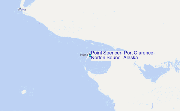