
| Distance / Altitude | Location | Report Date / Time | Live Weather | Wind | Gusts | Temp. | Visibility | Cloud |
|---|---|---|---|---|---|---|---|---|
| 2 km S / 30 m | Mashpee (Massachusetts) | 2025-12-12 06:31 local (2025/12/12 11:31 GMT) | dry | - (- km/h at ) | — | - | - - 0 | |
| 6 km WSW / 3 m | BUOY-WAXM3 (Marine) | 2025-12-12 05:45 local (2025/12/12 10:45 GMT) | light winds from the W (15 km/h at 270) | -4°C | - | |||
| 7 km WNW / 219 m | Falmouth/Otis Air Base Airport (Massachusetts) | 2025-12-12 04:45 local (2025/12/12 09:45 GMT) | Clear | fresh winds from the W (37 km/h at 270) | -4°C | 16 | ||
| 13 km SW / 6 m | Falmouth wx (United States) | 2025-12-12 06:12 local (2025/12/12 11:12 GMT) | - | light winds from the WSW (16 km/h at 256) | -4°C | - | - - 0 | |
| 16 km N / 71 m | East Sandwich wx (United States) | 2025-12-12 06:36 local (2025/12/12 11:36 GMT) | - | calm (5 km/h at 282) | -6°C | - | - - 0 | |
| 17 km SE / - m | SHIP1381 (ocean) | 2025-12-12 06:00 local (2025/12/12 11:00 GMT) | - | strong winds from the W (47 km/h at 280) | -2°C | - | no observation | |
| 17 km SE / - m | SHIP1095 (ocean) | 2025-12-12 06:00 local (2025/12/12 11:00 GMT) | - | strong winds from the W (47 km/h at 280) | -2°C | - | no observation | |
| 17 km SE / - m | SHIP127 (ocean) | 2025-12-12 06:00 local (2025/12/12 11:00 GMT) | - | strong winds from the W (50 km/h at 280) | -2°C | - | no observation | |
| 17 km SE / - m | SHIP1025 (ocean) | 2025-12-12 05:00 local (2025/12/12 10:00 GMT) | - | strong winds from the W (50 km/h at 280) | -1°C | - | no observation | |
| 17 km SE / - m | SHIP360 (ocean) | 2025-12-12 06:00 local (2025/12/12 11:00 GMT) | - | strong winds from the W (47 km/h at 280) | -2°C | - | no observation |
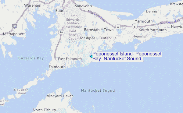
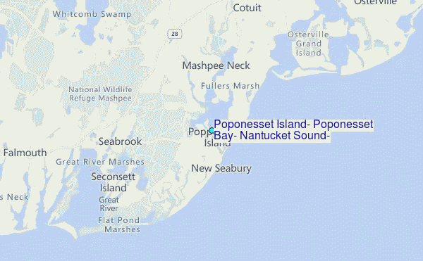
Choose Poponesset Island, Poponesset Bay, Nantucket Sound, Massachusetts Location Map Zoom:
| Contours: | Roads & Rivers: | Select a
tide station / surf break / city |
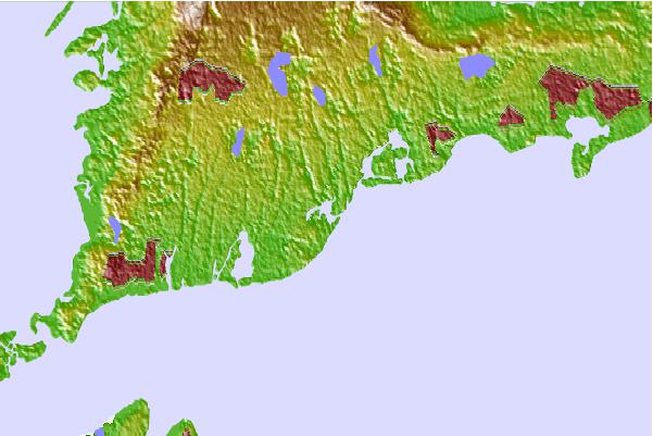
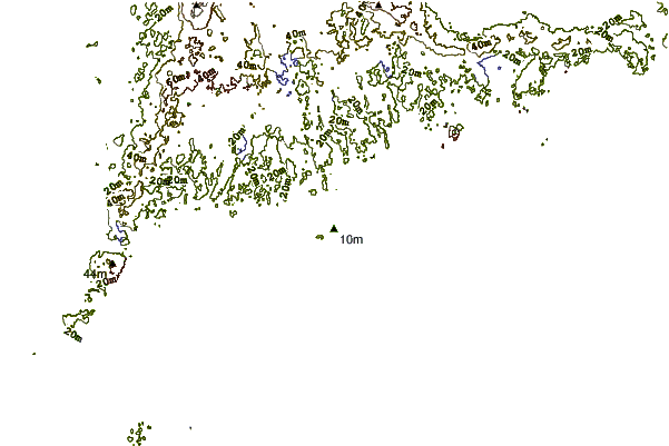
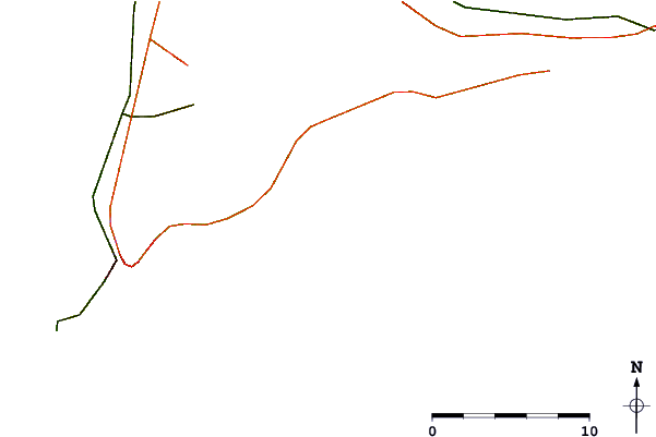
Use this relief map to navigate to tide stations, surf breaks and cities that are in the area of Poponesset Island, Poponesset Bay, Nantucket Sound, Massachusetts.
Other Nearby Locations' tide tables and tide charts to Poponesset Island, Poponesset Bay, Nantucket Sound, Massachusetts:
click location name for more details
 Surf breaks close to Poponesset Island, Poponesset Bay, Nantucket Sound, Massachusetts:
|
||
|---|---|---|
| Closest surf break | Madaket | 25 mi |
| Second closest surf break | Nauset Light Beach | 30 mi |
| Third closest surf break | Horseneck Beach | 31 mi |
| Fourth closest surf break | Nauset Beach | 31 mi |
| Fifth closest surf break | Baker s Beach | 32 mi |


 Nearest
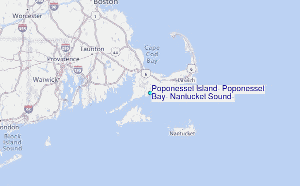