
| Distance / Altitude | Location | Report Date / Time | Live Weather | Wind | Gusts | Temp. | Visibility | Cloud |
|---|---|---|---|---|---|---|---|---|
| 4 km SSE / 20 m | Paremata (New Zealand) | 2026-04-02 03:43 local (2026/04/01 14:43 GMT) | dry | calm (2 km/h at 121) | 8°C | - | - - 0 | |
| 10 km NE / 267 m | Paekakariki (New Zealand) | 2026-04-02 03:00 local (2026/04/01 14:00 GMT) | - | light winds from the SW (15 km/h at 229) | 11°C | - | - - 0 | |
| 16 km NE / 6 m | Kapiti Aeromodellers (New Zealand) | 2026-04-02 03:00 local (2026/04/01 14:00 GMT) | - | calm (0 km/h at 169) | 6°C | - | - - 0 | |
| 21 km NNE / 8 m | Paraparaumu Automatic Weather Station (New Zealand) | 2026-04-02 03:00 local (2026/04/01 14:00 GMT) | Clear skies | light winds from the E (6 km/h at 100) | 6°C | 20 km | - no observation - | |
| 21 km S / 116 m | Wellington (New Zealand) | 2026-04-02 03:04 local (2026/04/01 14:04 GMT) | dry | calm (0 km/h at 238) | 6°C | - | - - 0 | |
| 28 km S / 51 m | Miramar wx (New Zealand) | 2026-04-02 03:35 local (2026/04/01 14:35 GMT) | dry | light winds from the NE (10 km/h at 42) | 7°C | - | - - 0 | |
| 28 km S / 201 m | Wellington International Airport (New Zealand) | 2026-04-02 03:00 local (2026/04/01 14:00 GMT) | Clear skies | light winds from the NE (7 km/h at 50) | 10°C | 20 km | no cloud no observation - | |
| 30 km S / 4 m | Wellington Airport (New Zealand) | 2026-04-02 03:00 local (2026/04/01 14:00 GMT) | Clear skies | light winds from the NE (7 km/h at 50) | 10°C | 20 km | no observation | |
| 33 km ESE / 451 m | Cross Creek wx (New Zealand) | 2026-04-02 03:31 local (2026/04/01 14:31 GMT) | dry | calm (0 km/h at 320) | 7°C | - | - - 0 | |
| 38 km S / 150 m | Baring Head (New Zealand) | 2026-04-02 03:00 local (2026/04/01 14:00 GMT) | - | light winds from the N (13 km/h at 11) | 7°C | - | - - 0 |
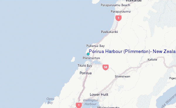
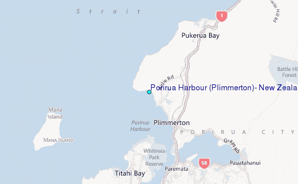
Choose Porirua Harbour (Plimmerton), New Zealand Location Map Zoom:
| Contours: | Roads & Rivers: | Select a
tide station / surf break / city |
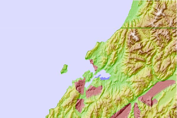
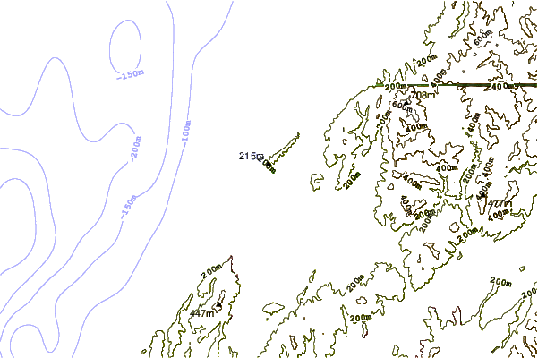
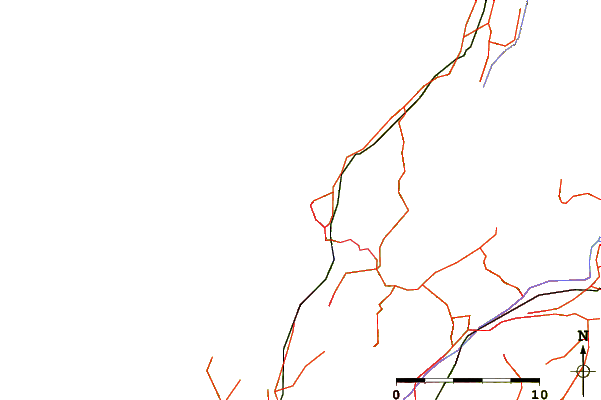
Use this relief map to navigate to tide stations, surf breaks and cities that are in the area of Porirua Harbour (Plimmerton), New Zealand.
Other Nearby Locations' tide tables and tide charts to Porirua Harbour (Plimmerton), New Zealand:
click location name for more details
 Surf breaks close to Porirua Harbour (Plimmerton), New Zealand:
|
||
|---|---|---|
| Closest surf break | The Pa Point | 1 mi |
| Second closest surf break | The Pa | 1 mi |
| Third closest surf break | Pukerua Bay | 3 mi |
| Fourth closest surf break | Titahi Bay | 3 mi |
| Fifth closest surf break | Mana Island | 4 mi |


 Nearest
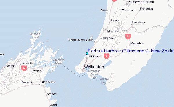