
| Distance / Altitude | Location | Report Date / Time | Live Weather | Wind | Gusts | Temp. | Visibility | Cloud |
|---|---|---|---|---|---|---|---|---|
| 22 km N / 4 m | Saint -Nazaire -Montoir (France) | 2026-04-04 07:00 local (2026/04/04 05:00 GMT) | Dry and cloudy | light winds from the SW (9 km/h at 230) | 11°C | 10.0 | overcast - - | |
| 32 km N / 50 m | 1705 (France) | 2026-04-04 08:00 local (2026/04/04 06:00 GMT) | - | calm (4 km/h at 200) | 10°C | - | - - 0 | |
| 37 km E / 26 m | Nantes -Bouguenais (France) | 2026-04-04 08:00 local (2026/04/04 06:00 GMT) | - | wind obs. (7 kph from 350 degs) was rejected (- km/h at -) | — | 10 | - - - | |
| 38 km E / 216 m | Nantes Atlantique Airport (France) | 2026-04-04 07:30 local (2026/04/04 05:30 GMT) | Dry and cloudy | light winds from the SSW.(Wind varies from 180 to 240 degs) (9 km/h at 210) | 11°C | 10.0 | overcast | |
| 38 km E / 216 m | Nantes Atlantique Airport (France) | 2026-04-04 06:30 local (2026/04/04 04:30 GMT) | Dry and cloudy | light winds from the SSW (9 km/h at 200) | 11°C | 10.0 | overcast overcast overcast | |
| 49 km ENE / 35 m | Suca sur Erdre (France) | 2026-04-04 06:06 local (2026/04/04 04:06 GMT) | - | calm (2 km/h at 178) | 9°C | - | - - 0 | |
| 50 km S / 32 m | L Ile D Yeu (France) | 2026-04-04 08:00 local (2026/04/04 06:00 GMT) | - | wind obs. (7 kph from 30 degs) was rejected (- km/h at -) | — | - | - - - | |
| 71 km SE / 91 m | LA Roche -Sur -Yon (France) | 2026-04-04 08:00 local (2026/04/04 06:00 GMT) | - | wind obs. (7 kph from 350 degs) was rejected (- km/h at -) | — | 18 | - - - | |
| 72 km WNW / 10 m | LA MOUETTE SINAGOTE (France) | 2026-04-04 08:00 local (2026/04/04 06:00 GMT) | - | fresh winds from the SSW (33 km/h at 192) | 12°C | - | - - 0 | |
| 73 km SE / 347 m | La Roche sur-Yon Aerodrome/Les Ajoncs Airport (France) | 2026-04-04 07:30 local (2026/04/04 05:30 GMT) | Dry and cloudy | light winds from the S (7 km/h at 190) | 9°C | 8.0 | overcast |
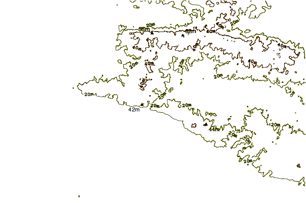
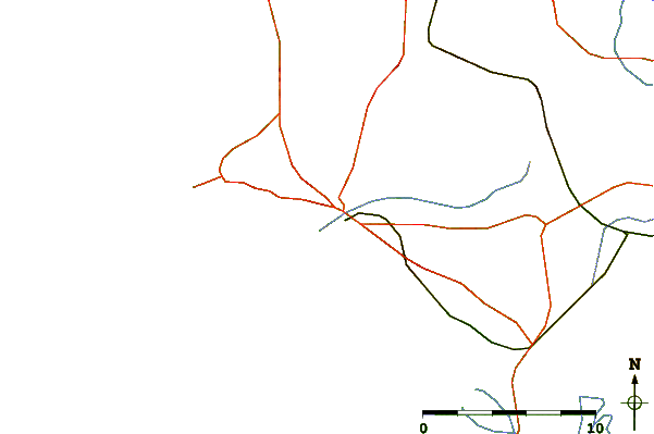
| Contours: | Roads & Rivers: | Select a
tide station / surf break / city |
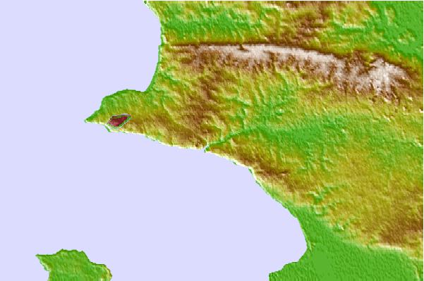
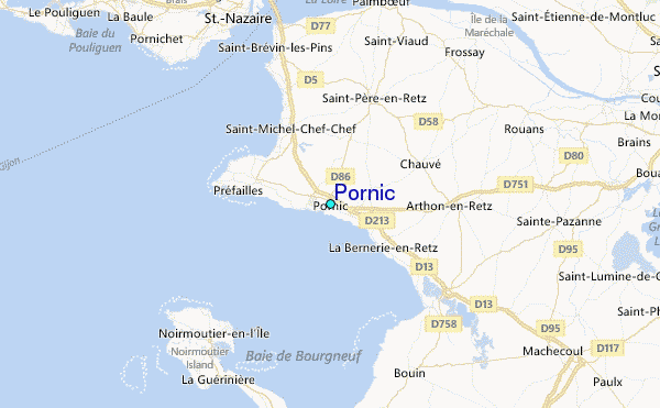
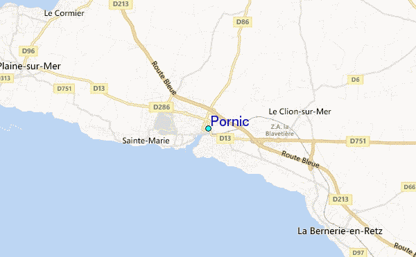
Use this relief map to navigate to tide stations, surf breaks and cities that are in the area of Pornic.
Other Nearby Locations' tide tables and tide charts to Pornic:
click location name for more details
 Surf breaks close to Pornic:
|
||
|---|---|---|
| Closest surf break | Prefailles | 5 mi |
| Second closest surf break | St Brevin l'Ermitage | 7 mi |
| Third closest surf break | Ile de Noirmoutier | 12 mi |
| Fourth closest surf break | La Courance | 12 mi |
| Fifth closest surf break | Ile de Noirmoutier - Barbatre | 12 mi |


 Nearest
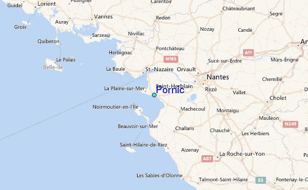