
| Distance / Altitude | Location | Report Date / Time | Live Weather | Wind | Gusts | Temp. | Visibility | Cloud |
|---|---|---|---|---|---|---|---|---|
| 0 km N / 348 m | George F. L. Charles Airport/Vigie/St Lucia (Lesser Antilles) | 2025-12-25 16:00 local (2025/12/25 20:00 GMT) | - | light winds from the ENE (9 km/h at 60) | 28°C | 10.0 | few | |
| 0 km S / 2 m | GeorgeF.l.Charles Airport (Saint Lucia) | 2025-12-25 17:00 local (2025/12/25 21:00 GMT) | State of sky unchanged | light winds from the ENE (11 km/h at 60) | 28°C | 40 km | scattered | |
| 30 km S / 10 m | HewanorraIntl Airport (Saint Lucia) | 2025-12-25 17:00 local (2025/12/25 21:00 GMT) | - | moderate winds from the ENE (20 km/h at 70) | 28°C | 50 km | - mostly cloudy - | |
| 30 km S / 188 m | Hewanorra International Airport (Lesser Antilles) | 2025-12-25 15:00 local (2025/12/25 19:00 GMT) | - | moderate winds from the E (22 km/h at 80) | 29°C | 10.0 | few | |
| 64 km N / 8 m | Lamentin -Aero (France) | 2025-12-25 17:00 local (2025/12/25 21:00 GMT) | no report | wind obs. (14 kph from 160 degs) was rejected (- km/h at -) | 27°C | 10 | - | |
| 65 km N / 214 m | Le Lamentin/Martinique Aimé Césaire International Airport (Lesser Antilles) | 2025-12-25 16:30 local (2025/12/25 20:30 GMT) | - | light winds from the NE.(Wind varies from 360 to 080 degs) (9 km/h at 40) | 28°C | 10.0 | few | |
| 85 km N / 39 m | Trinite -Caravelle (France) | 2025-12-25 17:00 local (2025/12/25 21:00 GMT) | no report | wind obs. (29 kph from 120 degs) was rejected (- km/h at -) | 30°C | - | - | |
| 97 km S / 41 m | Argyle International Airport (Saint Vincent and the Grenadines) | 2025-12-25 16:00 local (2025/12/25 20:00 GMT) | Shower - in the vicinity | light winds from the NNE (11 km/h at 30) | 27°C | 10.0 | scattered | |
| 166 km NW / 15 m | SHIP3345 (Marine) | 2025-12-25 16:00 local (2025/12/25 20:00 GMT) | moderate winds from the NNE (27.720000000000002 km/h at 20) | 28°C | 17.7 km | |||
| 166 km NW / 15 m | SHIP8997 (Marine) | 2025-12-25 16:00 local (2025/12/25 20:00 GMT) | moderate winds from the NNE (27.720000000000002 km/h at 20) | 28°C | 17.7 km |
| Contours: | Roads & Rivers: | Select a
tide station / surf break / city |
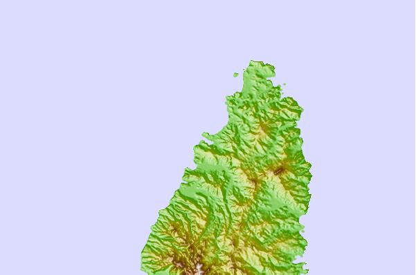
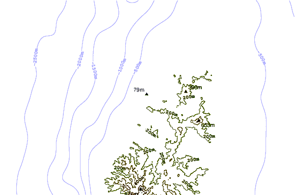
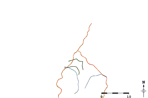
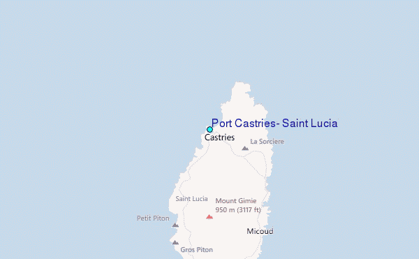
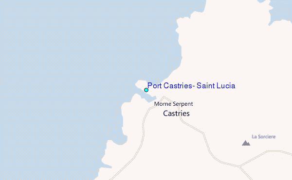
Use this relief map to navigate to tide stations, surf breaks and cities that are in the area of Port Castries, Saint Lucia.
Other Nearby Locations' tide tables and tide charts to Port Castries, Saint Lucia:
click location name for more details
 Surf breaks close to Port Castries, Saint Lucia:
|
||
|---|---|---|
| Closest surf break | Pigeon Point | 6 mi |
| Second closest surf break | Commaret Point | 7 mi |
| Third closest surf break | Anse Trabaud | 29 mi |
| Fourth closest surf break | Anse Cafard | 30 mi |
| Fifth closest surf break | Diam's | 32 mi |


 Nearest
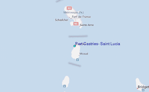